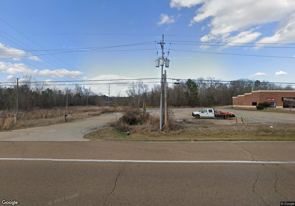
1382 W Government St Brandon, MS 39042
--
Bed
--
Bath
44,867
Sq Ft
1.03
Acres
About This Home
This home is located at 1382 W Government St, Brandon, MS 39042. 1382 W Government St is a home located in Rankin County with nearby schools including Rouse Elementary School, Brandon Elementary School, and Stonebridge Elementary School.
Ownership History
Date
Name
Owned For
Owner Type
Purchase Details
Closed on
Aug 18, 2025
Sold by
Singh Amrik and Kamboj Gurdev
Bought by
Fuletrac Enterprises Llc
Home Financials for this Owner
Home Financials are based on the most recent Mortgage that was taken out on this home.
Original Mortgage
$10,000,000
Outstanding Balance
$9,192,135
Interest Rate
6.75%
Mortgage Type
Credit Line Revolving
Purchase Details
Closed on
Oct 30, 2020
Sold by
Pittman Llc
Bought by
Property Leasing Llc
Home Financials for this Owner
Home Financials are based on the most recent Mortgage that was taken out on this home.
Original Mortgage
$420,000
Interest Rate
2.8%
Mortgage Type
Commercial
Purchase Details
Closed on
Jul 17, 2014
Bought by
Pitman Llc
Create a Home Valuation Report for This Property
The Home Valuation Report is an in-depth analysis detailing your home's value as well as a comparison with similar homes in the area
Home Values in the Area
Average Home Value in this Area
Purchase History
| Date | Buyer | Sale Price | Title Company |
|---|---|---|---|
| Fuletrac Enterprises Llc | -- | None Listed On Document | |
| Property Leasing Llc | -- | None Available | |
| Pitman Llc | -- | -- |
Source: Public Records
Mortgage History
| Date | Status | Borrower | Loan Amount |
|---|---|---|---|
| Open | Fuletrac Enterprises Llc | $10,000,000 | |
| Previous Owner | Property Leasing Llc | $420,000 |
Source: Public Records
Tax History Compared to Growth
Tax History
| Year | Tax Paid | Tax Assessment Tax Assessment Total Assessment is a certain percentage of the fair market value that is determined by local assessors to be the total taxable value of land and additions on the property. | Land | Improvement |
|---|---|---|---|---|
| 2024 | $8,549 | $65,501 | $0 | $0 |
| 2023 | $7,824 | $59,946 | $0 | $0 |
| 2022 | $7,734 | $59,946 | $0 | $0 |
| 2021 | $12,784 | $99,086 | $0 | $0 |
| 2020 | $12,784 | $99,086 | $0 | $0 |
| 2019 | $13,518 | $102,572 | $0 | $0 |
| 2018 | $9,598 | $102,572 | $0 | $0 |
| 2017 | $11,851 | $91,310 | $0 | $0 |
| 2016 | $10,882 | $90,089 | $0 | $0 |
| 2015 | $10,882 | $90,089 | $0 | $0 |
| 2014 | $6,683 | $90,089 | $0 | $0 |
| 2013 | $6,683 | $90,089 | $0 | $0 |
Source: Public Records
Map
Nearby Homes
- 14 Eastgate Ct
- 117 Springtree Dr
- 48 Sandlewood Dr
- 116 Pavilion Dr
- 52 Eastgate Dr
- 0 Thorngate Dr
- 26 Woodgate Dr
- 2017 Rolling Hill Dr
- 915 Filmore Dr
- 202 Keystone Place
- 22 Fox Glen Cove
- 207 Keystone Place
- 192 Lakebend Cir
- 70 Crossgates Dr
- 367 Lakebend Dr
- 126 Fawnwood Dr
- 00 E Mark Dr
- 189 Lakebend Cir
- 426 Lakebend Place
- 36 Pebble Hill Dr
- 212 Terrace Dr
- 214 Terrace Dr
- 1301 W Government St
- 208 Terrace Dr
- 216 Terrace Dr
- 210 Terrace Dr
- 218 Terrace Dr
- 206 Terrace Dr
- 211 Terrace Dr
- 220 Terrace Dr
- 204 Terrace Dr
- 1323 W Government St
- 215 Terrace Dr
- 222 Terrace Dr
- 205 Terrace Dr
- 217 Terrace Dr
- 57 Terrace Dr
- 202 Terrace Dr
- 224 Terrace Dr
- 261 Terrace Dr