13829 Spriggs Rd Manassas, VA 20112
Estimated Value: $624,000 - $771,000
3
Beds
3
Baths
2,553
Sq Ft
$280/Sq Ft
Est. Value
About This Home
This home is located at 13829 Spriggs Rd, Manassas, VA 20112 and is currently estimated at $714,540, approximately $279 per square foot. 13829 Spriggs Rd is a home located in Prince William County with nearby schools including C.D. Hylton High School, Rosa Parks Elementary School, and Herbert J. Saunders Middle School.
Ownership History
Date
Name
Owned For
Owner Type
Purchase Details
Closed on
Jun 27, 2006
Sold by
Melice Joseph W
Bought by
Harris Samia
Current Estimated Value
Purchase Details
Closed on
Aug 20, 1999
Sold by
Fulcher Leslie R
Bought by
Stevenson Sherron
Home Financials for this Owner
Home Financials are based on the most recent Mortgage that was taken out on this home.
Original Mortgage
$180,000
Interest Rate
7.6%
Create a Home Valuation Report for This Property
The Home Valuation Report is an in-depth analysis detailing your home's value as well as a comparison with similar homes in the area
Home Values in the Area
Average Home Value in this Area
Purchase History
| Date | Buyer | Sale Price | Title Company |
|---|---|---|---|
| Harris Samia | -- | -- | |
| Stevenson Sherron | $225,000 | -- |
Source: Public Records
Mortgage History
| Date | Status | Borrower | Loan Amount |
|---|---|---|---|
| Previous Owner | Stevenson Sherron | $180,000 |
Source: Public Records
Tax History Compared to Growth
Tax History
| Year | Tax Paid | Tax Assessment Tax Assessment Total Assessment is a certain percentage of the fair market value that is determined by local assessors to be the total taxable value of land and additions on the property. | Land | Improvement |
|---|---|---|---|---|
| 2025 | $5,953 | $634,800 | $219,100 | $415,700 |
| 2024 | $5,953 | $598,600 | $204,600 | $394,000 |
| 2023 | $5,813 | $558,700 | $189,100 | $369,600 |
| 2022 | $5,822 | $515,400 | $173,100 | $342,300 |
| 2021 | $5,484 | $448,800 | $149,900 | $298,900 |
| 2020 | $6,324 | $408,000 | $135,900 | $272,100 |
| 2019 | $6,439 | $415,400 | $139,000 | $276,400 |
| 2018 | $5,358 | $443,700 | $143,700 | $300,000 |
| 2017 | $5,141 | $417,000 | $133,900 | $283,100 |
| 2016 | $5,673 | $465,600 | $148,800 | $316,800 |
| 2015 | $4,771 | $417,300 | $132,300 | $285,000 |
| 2014 | $4,771 | $381,800 | $120,000 | $261,800 |
Source: Public Records
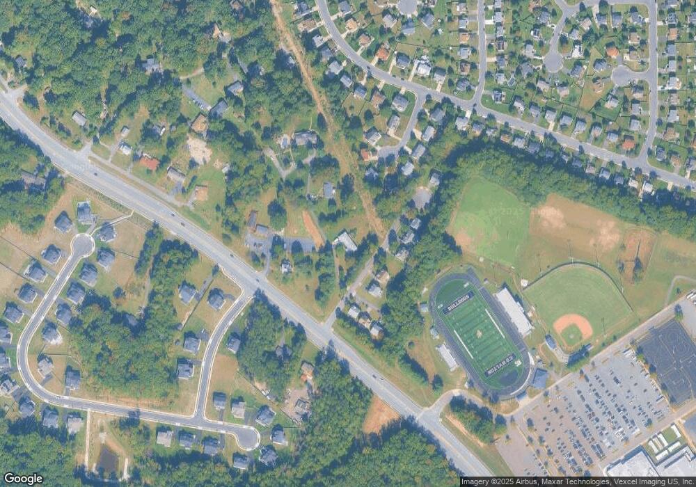
Map
Nearby Homes
- 13827 Spriggs Rd
- 5833 Rhode Island Dr
- 5886 Rhode Island Dr
- 14452 Alps Dr
- 5876 Pontiac Dr
- 13454 Princedale Dr
- 5710 Rhode Island Dr
- 13501 Photo Dr
- 6013 Pepco Ct
- 5678 Roundtree Dr
- 13380 Packard Dr
- 5850 Anthony Dr
- 5655 Roundtree Dr
- 5611 Roundtree Dr
- 13289 Orangewood Dr
- 14371 Salsbury Ct
- 14288 Lindendale Rd
- 13647 Van Doren Rd
- 13217 Nickleson Dr
- 6131 Lost Colony Dr
- 6140 Olender Park Ct
- 6125 Olender Park Ct
- 6121 Olender Park Ct
- 6123 Olender Park Ct
- 6117 Olender Park Ct
- 6129 Olender Park Ct
- 13824 Right Ct
- 6141 Olender Park Ct
- 13825 Right Ct
- 6113 Olender Park Ct
- 13815 Spriggs Rd
- 6137 Olender Park Ct
- 13818 Right Ct
- 13819 Right Ct
- 6133 Olender Park Ct
- 6133 Olender Park Ct
- 6109 Olender Park Ct
- 6109 Olender Park Ct
- 13812 Right Ct
- 13813 Right Ct