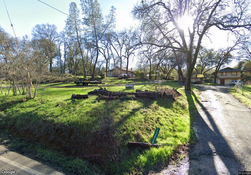
13830 Dry Creek Rd Auburn, CA 95602
Estimated Value: $360,205 - $473,000
2
Beds
1
Bath
943
Sq Ft
$436/Sq Ft
Est. Value
About This Home
This home is located at 13830 Dry Creek Rd, Auburn, CA 95602 and is currently estimated at $410,801, approximately $435 per square foot. 13830 Dry Creek Rd is a home located in Placer County with nearby schools including Sierra Hills Elementary School, Weimar Hills, and Colfax High School.
Ownership History
Date
Name
Owned For
Owner Type
Purchase Details
Closed on
May 13, 1996
Sold by
Owens Dale A and Owens Beverly K
Bought by
Saladine Anthony M and Saladine Anita C
Current Estimated Value
Home Financials for this Owner
Home Financials are based on the most recent Mortgage that was taken out on this home.
Original Mortgage
$62,799
Outstanding Balance
$3,601
Interest Rate
8.07%
Mortgage Type
Seller Take Back
Estimated Equity
$407,200
Create a Home Valuation Report for This Property
The Home Valuation Report is an in-depth analysis detailing your home's value as well as a comparison with similar homes in the area
Home Values in the Area
Average Home Value in this Area
Purchase History
| Date | Buyer | Sale Price | Title Company |
|---|---|---|---|
| Saladine Anthony M | $72,500 | Old Republic Title Company |
Source: Public Records
Mortgage History
| Date | Status | Borrower | Loan Amount |
|---|---|---|---|
| Open | Saladine Anthony M | $62,799 |
Source: Public Records
Tax History Compared to Growth
Tax History
| Year | Tax Paid | Tax Assessment Tax Assessment Total Assessment is a certain percentage of the fair market value that is determined by local assessors to be the total taxable value of land and additions on the property. | Land | Improvement |
|---|---|---|---|---|
| 2025 | $1,305 | $120,406 | $66,433 | $53,973 |
| 2023 | $1,305 | $115,732 | $63,854 | $51,878 |
| 2022 | $1,264 | $113,463 | $62,602 | $50,861 |
| 2021 | $1,238 | $111,239 | $61,375 | $49,864 |
| 2020 | $1,224 | $110,099 | $60,746 | $49,353 |
| 2019 | $1,201 | $107,941 | $59,555 | $48,386 |
| 2018 | $1,160 | $105,826 | $58,388 | $47,438 |
| 2017 | $1,140 | $103,752 | $57,244 | $46,508 |
| 2016 | $1,117 | $101,719 | $56,122 | $45,597 |
| 2015 | $1,091 | $100,192 | $55,279 | $44,913 |
| 2014 | $1,075 | $98,231 | $54,197 | $44,034 |
Source: Public Records
Map
Nearby Homes
- 2050 Black Oak Rd
- 1475 Shadow Mountain Ct
- 5250 Morningside Ave
- 1001 Old Airport Rd
- 1365 Shadow Rock Dr
- 3022 Red Deer Ct
- 0 Richards Ln Unit 225114570
- 2790 Black Oak Rd
- 0 Old Airport Rd Unit 225114571
- 0 Dry Creek Rd Unit 225060351
- 12446 Shadow Brook Ct
- 1111 Scenic Pine Dr
- 13975 Moss Rock Dr
- 5255 Stanley Dr
- 15288 William Dr
- 3116 Sunshine Meadow Ln
- 2059 Bell Rd
- 2507 Sullivan Dr
- 3730 Kimo Way
- 2125 Dream Place
- 13820 Dry Creek Rd
- 13850 Dry Creek Rd
- 13800 Dry Creek Rd
- 13765 Wright Rd
- 13860 Dry Creek Rd
- 13851 Dry Creek Rd
- 13825 Dry Creek Rd
- 13870 Dry Creek Rd
- 13781 Dry Creek Rd
- 13760 Dry Creek Rd
- 13861 Dry Creek Rd
- 13910 Dry Creek Rd
- 13725 Wright Rd
- 13780 Wright Rd
- 13880 Dry Creek Rd
- 13751 Dry Creek Rd
- 13740 Dry Creek Rd
- 13705 Wright Rd
- 13925 Dry Creek Rd
- 13845 Dry Creek Rd