Estimated Value: $493,000 - $856,087
Studio
--
Bath
--
Sq Ft
24.23
Acres Lot
About This Home
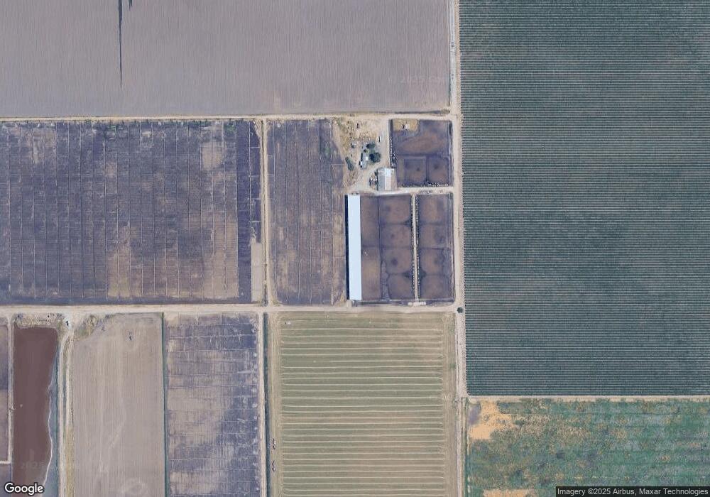
This home is located at 13833 Royal Rd, Lodi, CA 95242 and is currently estimated at $676,029. 13833 Royal Rd is a home located in San Joaquin County with nearby schools including Ellerth E. Larson Elementary School, Lodi Middle School, and Tokay High School.
Ownership History
Date
Name
Owned For
Owner Type
Purchase Details
Closed on
Oct 1, 2018
Sold by
Hamm Patricia A
Bought by
Hamm Patricia A
Current Estimated Value
Purchase Details
Closed on
Jan 28, 2013
Sold by
Hamm Patricia A
Bought by
Hamm Jack A and Hamm Patricia A
Purchase Details
Closed on
Dec 27, 2012
Sold by
Lima Helen M and Balcao Helen M
Bought by
Hamm Patricia A
Purchase Details
Closed on
Dec 15, 2009
Sold by
Lima Helen M
Bought by
Hamm Patricia A
Purchase Details
Closed on
Mar 9, 1998
Sold by
Lima Helen M and Lima Helen Lima
Bought by
Balcao Helen Lima
Create a Home Valuation Report for This Property
The Home Valuation Report is an in-depth analysis detailing your home's value as well as a comparison with similar homes in the area
Purchase History
We collect this data history from publicly available records. To have your information removed, we recommend requesting removal directly through your county’s website.
| Date | Buyer | Sale Price | Title Company |
|---|---|---|---|
| Hamm Patricia A | -- | None Available | |
| Hamm Jack A | -- | None Available | |
| Hamm Patricia A | -- | None Available | |
| Hamm Patricia A | -- | None Available | |
| Balcao Helen Lima | -- | Chicago Title Co |
Source: Public Records
Tax History
| Year | Tax Paid | Tax Assessment Tax Assessment Total Assessment is a certain percentage of the fair market value that is determined by local assessors to be the total taxable value of land and additions on the property. | Land | Improvement |
|---|---|---|---|---|
| 2025 | $5,079 | $354,201 | $79,058 | $275,143 |
| 2024 | $4,957 | $347,257 | $77,508 | $269,749 |
| 2023 | $4,269 | $340,449 | $75,989 | $264,460 |
| 2022 | $6,113 | $333,774 | $74,499 | $259,275 |
| 2021 | $6,178 | $327,231 | $73,039 | $254,192 |
| 2020 | $3,633 | $323,876 | $72,290 | $251,586 |
| 2019 | $3,561 | $317,526 | $70,873 | $246,653 |
| 2018 | $3,511 | $311,301 | $69,484 | $241,817 |
| 2017 | $3,433 | $305,200 | $68,124 | $237,076 |
| 2016 | $3,220 | $299,216 | $66,787 | $232,429 |
| 2014 | $3,125 | $288,951 | $64,495 | $224,456 |
Source: Public Records
Map
Nearby Homes
- 21610 Devries Rd
- 20860 Devries Rd
- 3587 W Sargent Rd
- 3824 W Sargent Rd
- 4175 W Sargent Rd
- 5224 Vesta Cir
- 5222 Loki Ln
- 2656 W Turner Rd
- 10816 Merritt Dr
- 16160 Moore Rd
- 10722 Wishon Dr
- 3087 Wisteria Dr
- 6901 Wamasquid Ln
- 3080 Wisteria Dr
- 6282 Crestview Cir
- 3068 Wisteria Dr
- 3062 Wisteria Dr
- 6674 Crestview Cir
- 10811 Lava Bed Ln
- 10942 Miacomet Ct
- 5285 W Kingdon Rd
- 4895 W Kingdon Rd
- 5281 W Kingdon Rd
- 5465 W Kingdon Rd
- 5560 W Kingdon Rd
- 13199 N Ray Rd
- 5545 W Kingdon Rd
- 4471 W Kingdon Rd
- 13436 N Thornton Rd
- 13436 N Thornton Rd
- 5555 W Kingdon Rd
- 4385 W Kingdon Rd
- 14200 N Ray Rd
- 5764 W Kingdon Rd
- 14250 N Ray Rd
- 5800 W Kingdon Rd
- 5671 W Kingdon Rd
- 4484 Tredway Rd
- 4289 W Kingdon Rd
- 13810 N Ray Rd
Your Personal Tour Guide
Ask me questions while you tour the home.