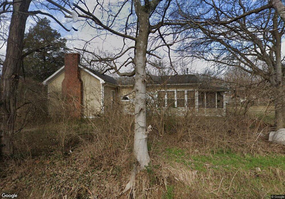
1384 Highway 25 Gallatin, TN 37066
Estimated Value: $453,275 - $612,000
--
Bed
2
Baths
1,863
Sq Ft
$307/Sq Ft
Est. Value
About This Home
This home is located at 1384 Highway 25, Gallatin, TN 37066 and is currently estimated at $571,319, approximately $306 per square foot. 1384 Highway 25 is a home located in Sumner County with nearby schools including Howard Elementary School, Rucker Stewart Middle School, and Station Camp High School.
Ownership History
Date
Name
Owned For
Owner Type
Purchase Details
Closed on
Apr 8, 2022
Sold by
Nvr Inc
Bought by
Tait Jessica Faye and Tait Brian Michael
Current Estimated Value
Purchase Details
Closed on
Feb 29, 2008
Sold by
Rollins Kathy L
Bought by
Lister Randy G and Lister Claudia K
Home Financials for this Owner
Home Financials are based on the most recent Mortgage that was taken out on this home.
Original Mortgage
$250,800
Interest Rate
5.97%
Mortgage Type
Purchase Money Mortgage
Purchase Details
Closed on
Jun 20, 1995
Bought by
Rollins Kathy L
Create a Home Valuation Report for This Property
The Home Valuation Report is an in-depth analysis detailing your home's value as well as a comparison with similar homes in the area
Home Values in the Area
Average Home Value in this Area
Purchase History
| Date | Buyer | Sale Price | Title Company |
|---|---|---|---|
| Tait Jessica Faye | -- | Settlement Services Of Nashvil | |
| Lister Randy G | $264,000 | Amtitle & Escrow | |
| Rollins Kathy L | -- | -- |
Source: Public Records
Mortgage History
| Date | Status | Borrower | Loan Amount |
|---|---|---|---|
| Previous Owner | Lister Randy G | $250,800 |
Source: Public Records
Tax History Compared to Growth
Tax History
| Year | Tax Paid | Tax Assessment Tax Assessment Total Assessment is a certain percentage of the fair market value that is determined by local assessors to be the total taxable value of land and additions on the property. | Land | Improvement |
|---|---|---|---|---|
| 2024 | $1,542 | $108,525 | $63,575 | $44,950 |
| 2023 | $1,508 | $66,950 | $40,600 | $26,350 |
| 2022 | $1,514 | $66,950 | $40,600 | $26,350 |
| 2021 | $1,514 | $66,950 | $40,600 | $26,350 |
| 2020 | $1,514 | $66,950 | $40,600 | $26,350 |
| 2019 | $1,514 | $0 | $0 | $0 |
| 2018 | $927 | $0 | $0 | $0 |
| 2017 | $927 | $0 | $0 | $0 |
| 2016 | $927 | $0 | $0 | $0 |
| 2015 | -- | $0 | $0 | $0 |
| 2014 | -- | $0 | $0 | $0 |
Source: Public Records
Map
Nearby Homes
- 1036 Middleton Ln
- 608 Bradford Dr
- 1017 Wickshire Dr
- 540 Bradford Dr
- 415 Buckingham Blvd
- 1328 Wentworth Dr
- 420 Dorchester Place
- 1273 Wentworth Dr
- 1176 Liberty Ln
- 688 Douglas Ln
- 376 Huntington Dr
- 1239 Wentworth Dr
- 300 Remington Ave
- 305 Remington Ave
- 1245 Amherst Ct
- 650 Neals Ln
- 294 Buckingham Blvd
- 156 Hackney Ln
- 548 Dottie Dr
- 3023 Duvall Dr
- 25W Highway Hwy
- 1379 Highway 25
- 1388 Highway 25
- 120 Lawrencetown Rd
- 1389 Highway 25
- 121 Lawrencetown Rd
- 25W Highway
- 1392 Highway 25
- 1392 Highway 25
- 25 Highway
- 1393 Highway 25
- 134 Lawrencetown Rd
- 1349 Highway 25
- 1349 Highway 25
- 1332 25w Hwy
- 1332 Highway 25
- 1332 25w Hwy
- 162 Lawrencetown Rd
- 163 Lawrencetown Rd
- 0 25w Hwy Unit 1888470