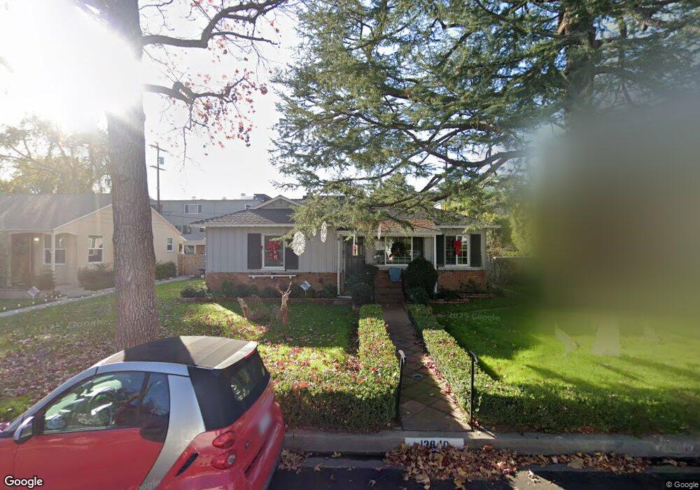
13840 La Maida St Sherman Oaks, CA 91423
Estimated Value: $1,162,000 - $1,448,000
3
Beds
2
Baths
1,406
Sq Ft
$921/Sq Ft
Est. Value
About This Home
This home is located at 13840 La Maida St, Sherman Oaks, CA 91423 and is currently estimated at $1,295,582, approximately $921 per square foot. 13840 La Maida St is a home located in Los Angeles County with nearby schools including Chandler Elementary, Ulysses S. Grant Senior High School, and Riverside Drive Charter Elementary School.
Ownership History
Date
Name
Owned For
Owner Type
Purchase Details
Closed on
Mar 1, 1999
Sold by
Bulat Robert B Living Trust
Bought by
Thorpe Christian K and Thorpe Diane B
Current Estimated Value
Home Financials for this Owner
Home Financials are based on the most recent Mortgage that was taken out on this home.
Original Mortgage
$140,000
Outstanding Balance
$33,738
Interest Rate
6.7%
Mortgage Type
Seller Take Back
Estimated Equity
$1,261,844
Purchase Details
Closed on
Sep 4, 1998
Sold by
Bulat Robert B
Bought by
Thorpe Diane B and Robert B Bulat Living Trust
Create a Home Valuation Report for This Property
The Home Valuation Report is an in-depth analysis detailing your home's value as well as a comparison with similar homes in the area
Home Values in the Area
Average Home Value in this Area
Purchase History
| Date | Buyer | Sale Price | Title Company |
|---|---|---|---|
| Thorpe Christian K | $160,000 | Lawyers Title Company | |
| Thorpe Diane B | -- | -- |
Source: Public Records
Mortgage History
| Date | Status | Borrower | Loan Amount |
|---|---|---|---|
| Open | Thorpe Christian K | $140,000 |
Source: Public Records
Tax History Compared to Growth
Tax History
| Year | Tax Paid | Tax Assessment Tax Assessment Total Assessment is a certain percentage of the fair market value that is determined by local assessors to be the total taxable value of land and additions on the property. | Land | Improvement |
|---|---|---|---|---|
| 2025 | $4,617 | $372,984 | $150,488 | $222,496 |
| 2024 | $4,617 | $365,672 | $147,538 | $218,134 |
| 2023 | $4,530 | $358,503 | $144,646 | $213,857 |
| 2022 | $4,321 | $351,474 | $141,810 | $209,664 |
| 2021 | $4,264 | $344,583 | $139,030 | $205,553 |
| 2019 | $4,137 | $334,364 | $134,907 | $199,457 |
| 2018 | $4,085 | $327,809 | $132,262 | $195,547 |
| 2016 | $3,894 | $315,081 | $127,127 | $187,954 |
| 2015 | $3,839 | $310,349 | $125,218 | $185,131 |
| 2014 | $3,858 | $304,271 | $122,766 | $181,505 |
Source: Public Records
Map
Nearby Homes
- 13935 Huston St
- 14000 Morrison St
- 5003 Mammoth Ave
- 13905 Milbank St
- 4710 Ventura Canyon Ave
- 4487 Colbath Ave Unit 310
- 4487 Colbath Ave Unit 207
- 4487 Colbath Ave Unit 101
- 4477 Woodman Ave Unit 304
- 4616 Ventura Canyon Ave
- 4824 Calhoun Ave
- 13925 Branton Place
- 4846 Katherine Ave
- 36010 Ventura Canyon Ave
- 4532 Calhoun Ave
- 4546 Allott Ave
- 4454 Ventura Canyon Ave Unit 304
- 4454 Ventura Canyon Ave Unit 103
- 14050 Magnolia Blvd Unit 316
- 4500 Calhoun Ave
- 13836 La Maida St
- 13846 La Maida St
- 4800 Ranchito Ave Unit 20
- 13830 La Maida St
- 13845 Riverside Dr
- 4804 Ranchito Ave
- 13853 Riverside Dr
- 13835 Riverside Dr
- 4830 Ranchito Ave
- 4831 Stern Ave
- 13839 Riverside Dr
- 13823 Riverside Dr Unit 3
- 13849 Riverside Dr
- 4816 Ranchito Ave Unit 24
- 4812 Ranchito Ave
- 4808 Ranchito Ave
- 13823 Riverside Dr
- 13839 Riverside Dr
- 13837 Riverside Dr
- 13855 Riverside Dr