Estimated Value: $799,081 - $977,000
3
Beds
2
Baths
1,075
Sq Ft
$820/Sq Ft
Est. Value
About This Home
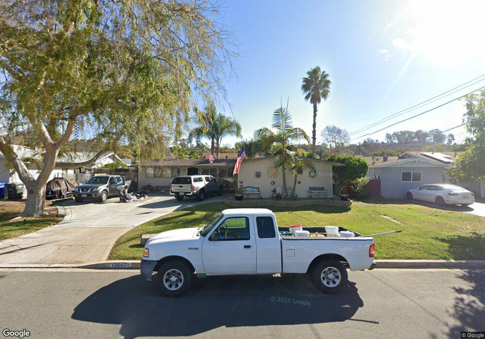
This home is located at 13843 Powers Rd, Poway, CA 92064 and is currently estimated at $881,020, approximately $819 per square foot. 13843 Powers Rd is a home located in San Diego County with nearby schools including Pomerado Elementary, Meadowbrook Middle, and Poway High.
Ownership History
Date
Name
Owned For
Owner Type
Purchase Details
Closed on
Dec 2, 2022
Sold by
Smith Family Trust and Smith Scott L
Bought by
Smith Family Trust and Smith
Current Estimated Value
Home Financials for this Owner
Home Financials are based on the most recent Mortgage that was taken out on this home.
Original Mortgage
$1,233,750
Outstanding Balance
$1,232,751
Interest Rate
6.95%
Mortgage Type
New Conventional
Estimated Equity
-$351,731
Purchase Details
Closed on
Jun 9, 2005
Sold by
Smith Scott Lewer and Smith Lynne M
Bought by
Smith Scott L and Smith Lynne M
Create a Home Valuation Report for This Property
The Home Valuation Report is an in-depth analysis detailing your home's value as well as a comparison with similar homes in the area
Home Values in the Area
Average Home Value in this Area
Purchase History
| Date | Buyer | Sale Price | Title Company |
|---|---|---|---|
| Smith Family Trust | -- | Lawyers Title | |
| Smith Scott L | -- | -- |
Source: Public Records
Mortgage History
| Date | Status | Borrower | Loan Amount |
|---|---|---|---|
| Open | Smith Family Trust | $1,233,750 |
Source: Public Records
Tax History
| Year | Tax Paid | Tax Assessment Tax Assessment Total Assessment is a certain percentage of the fair market value that is determined by local assessors to be the total taxable value of land and additions on the property. | Land | Improvement |
|---|---|---|---|---|
| 2025 | $1,640 | $147,166 | $50,933 | $96,233 |
| 2024 | $1,640 | $144,282 | $49,935 | $94,347 |
| 2023 | $1,605 | $141,454 | $48,956 | $92,498 |
| 2022 | $1,577 | $138,682 | $47,997 | $90,685 |
| 2021 | $1,557 | $135,963 | $47,056 | $88,907 |
| 2020 | $1,536 | $134,570 | $46,574 | $87,996 |
| 2019 | $1,497 | $131,932 | $45,661 | $86,271 |
| 2018 | $1,455 | $129,346 | $44,766 | $84,580 |
| 2017 | $1,417 | $126,811 | $43,889 | $82,922 |
| 2016 | $1,386 | $124,326 | $43,029 | $81,297 |
| 2015 | $1,366 | $122,459 | $42,383 | $80,076 |
| 2014 | $1,335 | $120,061 | $41,553 | $78,508 |
Source: Public Records
Map
Nearby Homes
- 13824 Powers Rd
- 12311 Witt Rd
- 14109 Arbolitos Dr
- 13641 Carriage Rd
- 13442 Mountainside Dr
- 12614 Orohaven Ln
- 12739 Papago Dr
- 12450 Robison Blvd
- 12834 Rockwell Ct
- 13254 Powers Ct
- 12939 Cree Ct
- 12719 Robison Blvd Unit 18
- 12851 Papago Dr
- 12885 Rockwell Ct
- 13673 Shoal Summit Dr
- 14138 Brent Wilsey Place Unit 3
- 14110 Brent Wilsey Place Unit 1
- 11908 Tivoli Park Row Unit 7
- 13847 Carmel Ridge Rd Unit 1
- 14613 Plumwood St
- 13837 Powers Rd
- 13849 Powers Rd
- 13844 Frame Rd
- 13831 Powers Rd
- 13850 Frame Rd
- 13838 Frame Rd
- 13842 Powers Rd
- 13836 Powers Rd
- 13848 Powers Rd
- 13832 Frame Rd
- 13825 Powers Rd
- 13903 Powers Rd
- 13830 Powers Rd
- 13904 Frame Rd
- 13826 Frame Rd
- 13824 Powers Rd Unit SI ID1471803P
- 13824 Powers Rd Unit ID1471803P
- 13902 Powers Rd
- 13819 Powers Rd
- 13909 Powers Rd
Your Personal Tour Guide
Ask me questions while you tour the home.