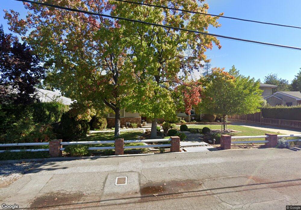
1385 Oakhurst Ave Los Altos, CA 94024
South Los Altos NeighborhoodEstimated Value: $3,752,000 - $4,746,000
4
Beds
2
Baths
2,005
Sq Ft
$2,112/Sq Ft
Est. Value
About This Home
This home is located at 1385 Oakhurst Ave, Los Altos, CA 94024 and is currently estimated at $4,234,136, approximately $2,111 per square foot. 1385 Oakhurst Ave is a home located in Santa Clara County with nearby schools including Oak Avenue Elementary School, Georgina P. Blach Junior High School, and Mountain View High School.
Ownership History
Date
Name
Owned For
Owner Type
Purchase Details
Closed on
Apr 27, 2018
Sold by
Brroads Mary Jane and Brroads Harold V
Bought by
Brroads Mary Jane and Brroads Harold V
Current Estimated Value
Purchase Details
Closed on
Jun 9, 2015
Sold by
Byroads Mary Jane
Bought by
Byroads Mary Jane and Harold V Byroads & Mary Jane Byroads B T
Create a Home Valuation Report for This Property
The Home Valuation Report is an in-depth analysis detailing your home's value as well as a comparison with similar homes in the area
Home Values in the Area
Average Home Value in this Area
Purchase History
| Date | Buyer | Sale Price | Title Company |
|---|---|---|---|
| Brroads Mary Jane | -- | None Available | |
| Byroads Mary Jaen | -- | None Available | |
| Byroads Mary Jane | -- | None Available |
Source: Public Records
Tax History
| Year | Tax Paid | Tax Assessment Tax Assessment Total Assessment is a certain percentage of the fair market value that is determined by local assessors to be the total taxable value of land and additions on the property. | Land | Improvement |
|---|---|---|---|---|
| 2025 | $2,866 | $127,217 | $48,942 | $78,275 |
| 2024 | $2,866 | $124,724 | $47,983 | $76,741 |
| 2023 | $2,639 | $122,280 | $47,043 | $75,237 |
| 2022 | $2,289 | $119,883 | $46,121 | $73,762 |
| 2021 | $2,129 | $117,533 | $45,217 | $72,316 |
| 2020 | $2,121 | $116,329 | $44,754 | $71,575 |
| 2019 | $1,964 | $114,049 | $43,877 | $70,172 |
| 2018 | $2,056 | $111,814 | $43,017 | $68,797 |
| 2017 | $1,863 | $109,623 | $42,174 | $67,449 |
| 2016 | $1,761 | $107,475 | $41,348 | $66,127 |
| 2015 | $2,077 | $105,861 | $40,727 | $65,134 |
| 2014 | $1,688 | $103,789 | $39,930 | $63,859 |
Source: Public Records
Map
Nearby Homes
- 1340 Miravalle Ave
- 1161 Volti Ln
- 1315 Bright Oaks Ct
- 3371 Beaumont Square
- 935 Lundy Ln
- 1474 Marlbarough Ave
- 1617 Corte Viaduct
- 2733 Winfield Dr
- 1276 Montclaire Way
- 1326 Don Kirk St
- 3411 Shady Spring Ln
- 740 Greenview Place
- 2784 Doverton Square
- 1624 Newcastle Dr
- 833 Hierra Ct
- 1141 Lincoln Dr
- 1687 Dalehurst Ave
- 601 Joandra Ct
- 1941 Deodara Dr
- 730 Mora Dr
- 1270 Payne Dr
- 1375 Oakhurst Ave
- 1260 Payne Dr
- 1365 Oakhurst Ave
- 1250 Payne Dr
- 1160 Eureka Ave
- 1455 Mckenzie Ave
- 1265 Payne Dr
- 1415 Oakhurst Ave
- 1357 Oakhurst Ave
- 1370 Oakhurst Ave
- 1240 Payne Dr
- 1170 Eureka Ave
- 1259 Payne Dr
- 1368 Oakhurst Ave
- 1255 Payne Dr
- 1425 Mckenzie Ave
- 1351 Oakhurst Ave
- 1450 Mckenzie Ave
- 1435 Oakhurst Ave
Your Personal Tour Guide
Ask me questions while you tour the home.