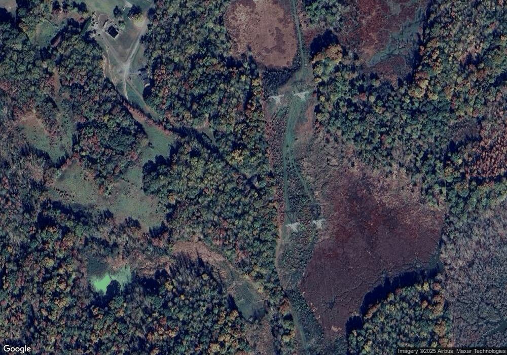
1385 Trouble Ln Sunderland, MD 20689
Sunderland NeighborhoodEstimated Value: $421,231 - $540,000
--
Bed
2
Baths
1,344
Sq Ft
$351/Sq Ft
Est. Value
About This Home
This home is located at 1385 Trouble Ln, Sunderland, MD 20689 and is currently estimated at $471,308, approximately $350 per square foot. 1385 Trouble Ln is a home located in Calvert County with nearby schools including Sunderland Elementary School, Windy Hill Middle School, and Northern High School.
Ownership History
Date
Name
Owned For
Owner Type
Purchase Details
Closed on
Apr 10, 2002
Sold by
Jones Travis Keith
Bought by
Jones Travis K and Jones Theresa A
Current Estimated Value
Purchase Details
Closed on
May 18, 2001
Sold by
Jones Bonise Roxine
Bought by
Jones Travis Keith
Create a Home Valuation Report for This Property
The Home Valuation Report is an in-depth analysis detailing your home's value as well as a comparison with similar homes in the area
Home Values in the Area
Average Home Value in this Area
Purchase History
| Date | Buyer | Sale Price | Title Company |
|---|---|---|---|
| Jones Travis K | -- | -- | |
| Jones Travis Keith | -- | -- |
Source: Public Records
Mortgage History
| Date | Status | Borrower | Loan Amount |
|---|---|---|---|
| Closed | Jones Travis K | -- |
Source: Public Records
Tax History Compared to Growth
Tax History
| Year | Tax Paid | Tax Assessment Tax Assessment Total Assessment is a certain percentage of the fair market value that is determined by local assessors to be the total taxable value of land and additions on the property. | Land | Improvement |
|---|---|---|---|---|
| 2025 | $3,967 | $365,100 | $175,100 | $190,000 |
| 2024 | $3,967 | $347,567 | $0 | $0 |
| 2023 | $3,429 | $330,033 | $0 | $0 |
| 2022 | $3,458 | $312,500 | $175,100 | $137,400 |
| 2021 | $3,338 | $306,300 | $0 | $0 |
| 2020 | $3,338 | $300,100 | $0 | $0 |
| 2019 | $3,285 | $293,900 | $175,100 | $118,800 |
| 2018 | $3,251 | $291,900 | $0 | $0 |
| 2017 | $3,271 | $289,900 | $0 | $0 |
| 2016 | -- | $287,900 | $0 | $0 |
| 2015 | $3,151 | $287,900 | $0 | $0 |
| 2014 | $3,151 | $287,900 | $0 | $0 |
Source: Public Records
Map
Nearby Homes
- 6265 Alpine Ct
- 2750 Karen Dr
- 6852 Old Bayside Rd
- 7634 Old Bayside Rd
- 7335 Quaking Dr
- 6510 18th St
- 6520 18th St
- 5030 Old Bayside Rd
- 2340 Forest Ridge Terrace
- 60 Persimmon Hills Ct
- 3306 Cannoncade Ct
- 2425 Woodland Ct
- 8005 Forest Ridge Dr Unit 9
- 6141 Federal Oak Dr
- 3664 Brookeside Dr
- 6650 Solomons Island Rd N
- 6571 11th St
- 3443 Hill Gail Dr
- 7129 Chesapeake Village Blvd
- 3164 Dalrymple Rd
- 1381 Trouble Ln
- 1379 Trouble Ln
- 1383 Trouble Ln
- 1387 Trouble Ln
- 1391 Trouble Ln
- 7085 Dorothy Dr
- 1393 Trouble Ln
- 1375 Pushaw Station Rd
- 1377 Trouble Ln
- 1325 Pushaw Station Rd
- 1385 Pushaw Station Rd
- 1375 Trouble Ln
- 0 Dorothy Dr Unit 1007074872
- 0 Dorothy Dr Unit 1007058188
- 0 Dorothy Dr Unit 1007035724
- 0 Dorothy Dr Unit 1006983392
- 0 Dorothy Dr Unit 1006974668
- 0 Dorothy Dr Unit 1006952030
- 0 Dorothy Dr Unit CA7999589
- 0 Dorothy Dr Unit CA8333808
