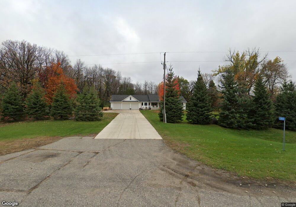
13858 Highway 7 E Hutchinson, MN 55350
Estimated Value: $372,000 - $500,000
--
Bed
2
Baths
1,756
Sq Ft
$260/Sq Ft
Est. Value
About This Home
This home is located at 13858 Highway 7 E, Hutchinson, MN 55350 and is currently estimated at $455,803, approximately $259 per square foot. 13858 Highway 7 E is a home located in McLeod County with nearby schools including Lincoln Elementary School, Lakeside Elementary School, and Glencoe-Silver Lake Jr. High School.
Ownership History
Date
Name
Owned For
Owner Type
Purchase Details
Closed on
Nov 10, 2016
Sold by
Cheney Matthew Matthew
Bought by
Burdick Brandon Brandon
Current Estimated Value
Home Financials for this Owner
Home Financials are based on the most recent Mortgage that was taken out on this home.
Original Mortgage
$235,057
Outstanding Balance
$189,598
Interest Rate
3.57%
Estimated Equity
$266,205
Purchase Details
Closed on
Mar 10, 2014
Bought by
Cheney Elizabeth Elizabeth
Home Financials for this Owner
Home Financials are based on the most recent Mortgage that was taken out on this home.
Original Mortgage
$207,500
Interest Rate
4.28%
Purchase Details
Closed on
Mar 16, 2012
Sold by
Heikes Keith B and Rettig Kari L
Bought by
Rettig Kari L and Heikes Keith B
Create a Home Valuation Report for This Property
The Home Valuation Report is an in-depth analysis detailing your home's value as well as a comparison with similar homes in the area
Home Values in the Area
Average Home Value in this Area
Purchase History
| Date | Buyer | Sale Price | Title Company |
|---|---|---|---|
| Burdick Brandon Brandon | $240,000 | -- | |
| Cheney Elizabeth Elizabeth | $207,500 | -- | |
| Rettig Kari L | -- | -- |
Source: Public Records
Mortgage History
| Date | Status | Borrower | Loan Amount |
|---|---|---|---|
| Open | Burdick Brandon Brandon | $235,057 | |
| Previous Owner | Cheney Elizabeth Elizabeth | $207,500 |
Source: Public Records
Tax History Compared to Growth
Tax History
| Year | Tax Paid | Tax Assessment Tax Assessment Total Assessment is a certain percentage of the fair market value that is determined by local assessors to be the total taxable value of land and additions on the property. | Land | Improvement |
|---|---|---|---|---|
| 2024 | $4,150 | $439,400 | $82,600 | $356,800 |
| 2023 | $3,866 | $410,000 | $78,700 | $331,300 |
| 2022 | $3,002 | $362,500 | $71,500 | $291,000 |
| 2021 | $3,302 | $272,700 | $55,000 | $217,700 |
| 2020 | $3,282 | $272,700 | $55,000 | $217,700 |
| 2019 | $2,812 | $269,100 | $55,000 | $214,100 |
| 2018 | $2,492 | $0 | $0 | $0 |
| 2017 | $2,396 | $0 | $0 | $0 |
| 2016 | $2,380 | $0 | $0 | $0 |
| 2015 | $2,022 | $0 | $0 | $0 |
| 2014 | -- | $0 | $0 | $0 |
Source: Public Records
Map
Nearby Homes
- XXX Cr4 Major Ave
- 21243 Kale Dr
- TBD (XXXX) Century Lane and Main St
- 10536 186th St
- 117 et al Main St W
- 839 Hilltop Dr NE
- 1025 5th Ave SE
- 505/515 Hilltop Canyon NE
- 319 Summit Ave
- 316 Lake Ave N
- 217 Grove Ave N
- 208 Cleveland St SE
- 208 Main St E
- XXXX Route 7
- 321 Highway 7 E
- 16796 220th St
- 107 Century Ln
- 648 Bluff St NE
- 16869 220th St
- 213 Century Ln
- 13858 Highway 7 E
- 13858 Highway 7 E
- 19032 Major Ave
- 18929 Major Ave
- 13752 Highway 7 E
- 13704 Highway 7 E
- 14052 Highway 7 E
- 14131 Highway 7 E
- 0 Unassigned Address Unit 4126284
- 19181 Major Ave
- 19165 Major Ave
- 19165 Major Ave
- 18816 Major Ave
- 19404 Major Ave
- 13657 Highway 7 E
- 13494 Highway 7 E
- 19345 Major Ave
- 14324 Highway 7 E
- 13396 Highway 7 E
- XXX Hwy 7