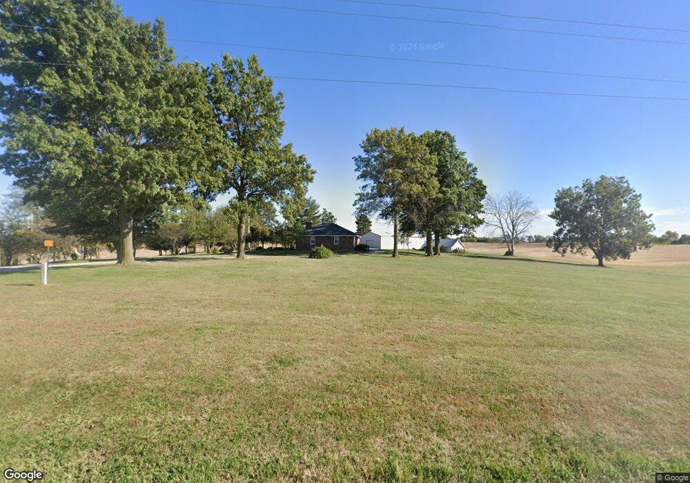
13861 Highway A Hardin, MO 64035
Estimated Value: $228,000 - $387,216
3
Beds
2
Baths
2,264
Sq Ft
$141/Sq Ft
Est. Value
About This Home
This home is located at 13861 Highway A, Hardin, MO 64035 and is currently estimated at $318,405, approximately $140 per square foot. 13861 Highway A is a home with nearby schools including Hardin-Central Elementary School and Hardin-Central High School.
Create a Home Valuation Report for This Property
The Home Valuation Report is an in-depth analysis detailing your home's value as well as a comparison with similar homes in the area
Tax History
| Year | Tax Paid | Tax Assessment Tax Assessment Total Assessment is a certain percentage of the fair market value that is determined by local assessors to be the total taxable value of land and additions on the property. | Land | Improvement |
|---|---|---|---|---|
| 2024 | $1,975 | $29,280 | $2,230 | $27,050 |
| 2023 | $1,963 | $29,220 | $2,170 | $27,050 |
| 2022 | $1,775 | $26,670 | $1,970 | $24,700 |
| 2021 | $1,766 | $26,670 | $1,970 | $24,700 |
| 2020 | $1,676 | $24,940 | $1,970 | $22,970 |
| 2019 | $1,675 | $24,940 | $1,970 | $22,970 |
| 2018 | $1,541 | $22,690 | $1,970 | $20,720 |
| 2017 | $1,566 | $22,690 | $1,970 | $20,720 |
| 2015 | -- | $22,240 | $1,970 | $20,270 |
| 2013 | -- | $108,494 | $3,036 | $105,458 |
| 2011 | -- | $0 | $0 | $0 |
Source: Public Records
Map
Nearby Homes
- 0 Rockingham Rd
- 000 Rockingham Rd
- 49465 State Highway Dd
- 300 NE 1st St
- 100 NE 2nd St
- 407 Parkway N A
- 35900 Missouri 10
- 14311 B Hwy
- 45312 Highway K
- 45312 Hwy K
- 43222 Highway K
- 904-906 SW Pampas Cir
- 10262 Airfield Ln
- Lot 35 Airfield Ln
- Lot 34 Airfield Ln
- Lot 37 Airfield Ln
- Lot 38 Airfield Ln
- Lot 36 Airfield Ln
- Lot 31A W Piper Ln
- 405 W 2nd St
Your Personal Tour Guide
Ask me questions while you tour the home.