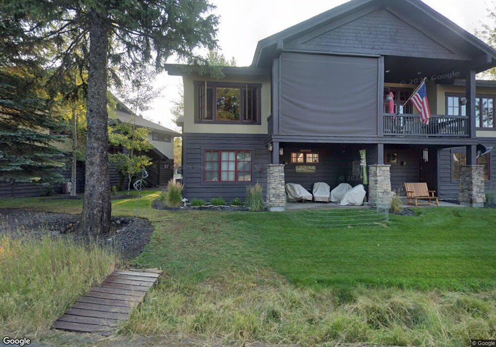
1387 Greystone Dr McCall, ID 83638
Estimated Value: $1,170,000 - $1,531,000
3
Beds
3
Baths
2,373
Sq Ft
$582/Sq Ft
Est. Value
About This Home
This home is located at 1387 Greystone Dr, McCall, ID 83638 and is currently estimated at $1,381,666, approximately $582 per square foot. 1387 Greystone Dr is a home located in Valley County with nearby schools including McCall-Donnelly High School, Mountain Life Education, and The North Fork School.
Ownership History
Date
Name
Owned For
Owner Type
Purchase Details
Closed on
Jul 18, 2013
Sold by
1385 Greystone Drive Llc
Bought by
Deal Tirana Chafin and Deal William W
Current Estimated Value
Home Financials for this Owner
Home Financials are based on the most recent Mortgage that was taken out on this home.
Original Mortgage
$356,000
Outstanding Balance
$263,294
Interest Rate
4.33%
Mortgage Type
New Conventional
Estimated Equity
$1,118,372
Create a Home Valuation Report for This Property
The Home Valuation Report is an in-depth analysis detailing your home's value as well as a comparison with similar homes in the area
Home Values in the Area
Average Home Value in this Area
Purchase History
| Date | Buyer | Sale Price | Title Company |
|---|---|---|---|
| Deal Tirana Chafin | -- | First American Title |
Source: Public Records
Mortgage History
| Date | Status | Borrower | Loan Amount |
|---|---|---|---|
| Open | Deal Tirana Chafin | $356,000 |
Source: Public Records
Tax History
| Year | Tax Paid | Tax Assessment Tax Assessment Total Assessment is a certain percentage of the fair market value that is determined by local assessors to be the total taxable value of land and additions on the property. | Land | Improvement |
|---|---|---|---|---|
| 2025 | $6,721 | $1,393,795 | -- | $1,393,795 |
| 2023 | $6,721 | $1,044,664 | $0 | $1,044,664 |
| 2022 | $5,049 | $971,009 | $0 | $971,009 |
| 2021 | $5,096 | $657,768 | $0 | $657,768 |
| 2020 | $5,154 | $582,632 | $0 | $582,632 |
| 2019 | $5,401 | $560,217 | $0 | $560,217 |
| 2018 | $5,141 | $486,920 | $0 | $486,920 |
| 2017 | $5,371 | $475,811 | $0 | $475,811 |
| 2016 | $4,912 | $426,072 | $0 | $426,072 |
| 2015 | $5,205 | $435,000 | $0 | $0 |
| 2013 | -- | $345,434 | $0 | $0 |
Source: Public Records
Map
Nearby Homes
- 601 Hemlock St Unit 10
- 609 Blue Water Cir
- 622 Blue Water Cir
- TBD Divot Ln Unit 4
- 703 Wooley Ave
- 1630 Davis Ave Unit F46
- 1630 Davis Ave Unit B13
- 1630 Davis Ave Unit C18
- 715 Spruce St
- 717 Spruce St
- 707 Bridle Path Way
- 911 Davis Ave
- 815 & 813 Reedy Ln
- 815 Reedy Ln
- 697 N Samson Trail Unit 7
- 699 N Samson Trail Unit 5
- 1607 Davis Ave Unit C6
- 1607 Davis Ave Unit E-14
- 1607 Davis Ave Unit E-12
- 616 N 3rd St Unit 211
- 1387 Greystone Dr Unit 23
- 1383 Greystone Dr
- 1395 Greystone Dr
- 1379 Greystone Dr
- 1399 Greystone Dr
- 1375 Greystone Dr
- 1400 Mill St
- 1403 Greystone Dr Unit 27
- 1403 Greystone Dr
- 1405 E Lake St
- 1400 Mill Rd
- 1400 Mill Rd Unit 1&2
- 1371 Greystone Dr
- 1407 Greystone Dr Unit 28
- 1407 Greystone Dr
- 1369 Greystone Dr
- 1369 Greystone Dr Unit 18
- 1411 Greystone Dr
- 1365 Greystone Dr Unit 17
- 1365 Greystone Dr
Your Personal Tour Guide
Ask me questions while you tour the home.