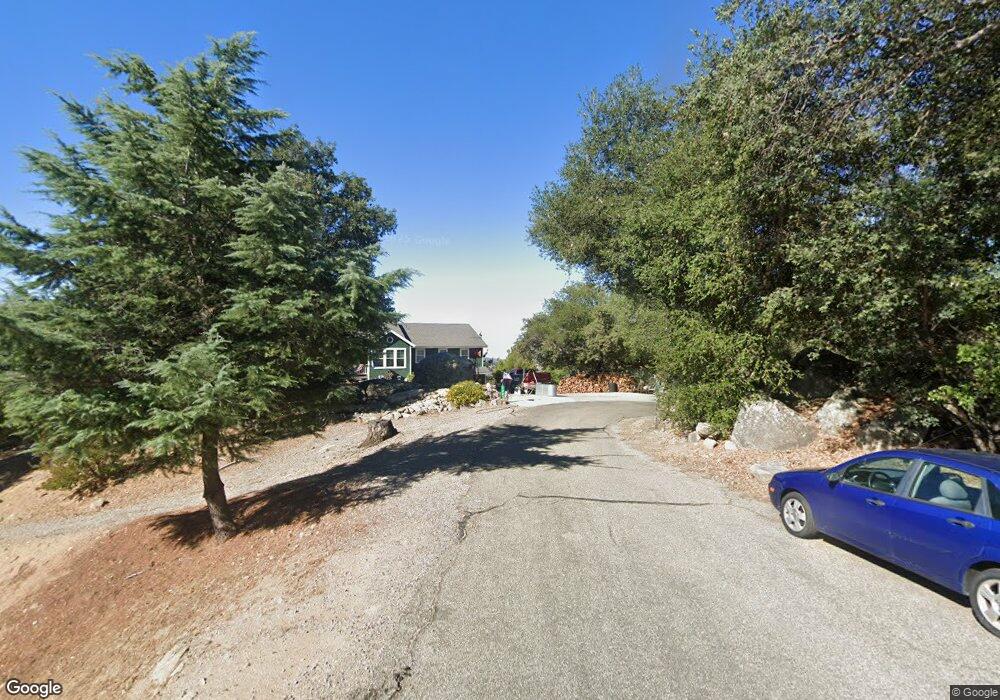
1387 Sunny Point Rd Santa Ysabel, CA 92070
Estimated Value: $799,472 - $969,000
3
Beds
2
Baths
1,706
Sq Ft
$507/Sq Ft
Est. Value
About This Home
This home is located at 1387 Sunny Point Rd, Santa Ysabel, CA 92070 and is currently estimated at $864,118, approximately $506 per square foot. 1387 Sunny Point Rd is a home located in San Diego County with nearby schools including Spencer Valley Elementary School and Julian High School.
Ownership History
Date
Name
Owned For
Owner Type
Purchase Details
Closed on
Dec 22, 2004
Sold by
D Street Partners
Bought by
Penrose Jim E and Penrose Patricia Rose
Current Estimated Value
Home Financials for this Owner
Home Financials are based on the most recent Mortgage that was taken out on this home.
Original Mortgage
$300,000
Interest Rate
5.75%
Mortgage Type
Purchase Money Mortgage
Purchase Details
Closed on
Jan 7, 2004
Sold by
Mcswain Coleman L and Mcswain Roxanna
Bought by
D Street Partners
Purchase Details
Closed on
Feb 26, 1998
Sold by
Mcswain Coleman L and Mcswain Roxanna
Bought by
Mcswain Coleman L and Mcswain Roxanne
Purchase Details
Closed on
Sep 19, 1995
Sold by
Dalton Robert D and Dalton Carol D
Bought by
Mcswain Coleman L and Mcswain Roxanna
Purchase Details
Closed on
Mar 1, 1990
Create a Home Valuation Report for This Property
The Home Valuation Report is an in-depth analysis detailing your home's value as well as a comparison with similar homes in the area
Home Values in the Area
Average Home Value in this Area
Purchase History
| Date | Buyer | Sale Price | Title Company |
|---|---|---|---|
| Penrose Jim E | $526,500 | Chicago Title Co | |
| D Street Partners | $75,000 | Commonwealth Land Title Co | |
| Mcswain Coleman L | -- | -- | |
| Mcswain Coleman L | -- | Chicago Title Co | |
| -- | $145,000 | -- |
Source: Public Records
Mortgage History
| Date | Status | Borrower | Loan Amount |
|---|---|---|---|
| Previous Owner | Penrose Jim E | $300,000 |
Source: Public Records
Tax History Compared to Growth
Tax History
| Year | Tax Paid | Tax Assessment Tax Assessment Total Assessment is a certain percentage of the fair market value that is determined by local assessors to be the total taxable value of land and additions on the property. | Land | Improvement |
|---|---|---|---|---|
| 2025 | $6,410 | $595,000 | $166,000 | $429,000 |
| 2024 | $6,410 | $575,000 | $161,000 | $414,000 |
| 2023 | $6,151 | $550,000 | $154,000 | $396,000 |
| 2022 | $5,907 | $525,000 | $147,000 | $378,000 |
| 2021 | $5,237 | $460,000 | $129,000 | $331,000 |
| 2020 | $5,014 | $440,000 | $124,000 | $316,000 |
| 2019 | $4,806 | $420,000 | $119,000 | $301,000 |
| 2018 | $4,609 | $400,000 | $114,000 | $286,000 |
| 2017 | $4,392 | $380,000 | $109,000 | $271,000 |
| 2016 | $4,246 | $367,000 | $106,000 | $261,000 |
| 2015 | $4,029 | $340,000 | $99,000 | $241,000 |
| 2014 | $3,859 | $325,000 | $95,000 | $230,000 |
Source: Public Records
Map
Nearby Homes
- 1308 Lakedale Rd
- 1210 Lakedale Rd
- 5049 California 78
- 4756 Glenside Rd
- 4700 Highway 78
- 4700 Ca-78
- 0 California 79
- 0 California 79 Unit 4 210011826
- 4026 Highway 78
- 2464 Wynola Rd
- 2716 Payson Dr
- 2670 Lot A Rd
- 1209 Farmer Rd
- 0 Pinezanita Ln
- 3318 Black Oak Ln Unit 1
- 3280 Black Oak Ln
- 3885 Eagle Ridge Unit 3885
- 3890 Eagle Ridge
- 2013 3rd St
- 3110 Blue Jay Dr
- 1333 Sunny Point Rd
- 1388 Sunny Point Rd
- 000 Mountainbrook Rd
- 000 Mountainbrook Rd Unit 76
- 1328 Riverwood Rd
- 0000 Riverwood
- 00 Riverwood Rd
- 0 Riverwood Rd Unit 90030630
- 0 Riverwood Rd Unit 90032021
- 0 Riverwood Rd Unit 90032010
- 80 Riverwood Rd
- 79 Riverwood Rd
- 0 Riverwood Rd Unit 130008171
- 78 Riverwood Rd
- 0 Riverwood Dr Unit 81 90053402
- 9 River Wood Rd
- 1380 Sunny Point Rd
- 0 Mountainbrook Rd Unit 76 120049027
- 0 Mountainbrook Rd Unit 76 170006049
- 0 Mountainbrook Rd Unit 76 180010008