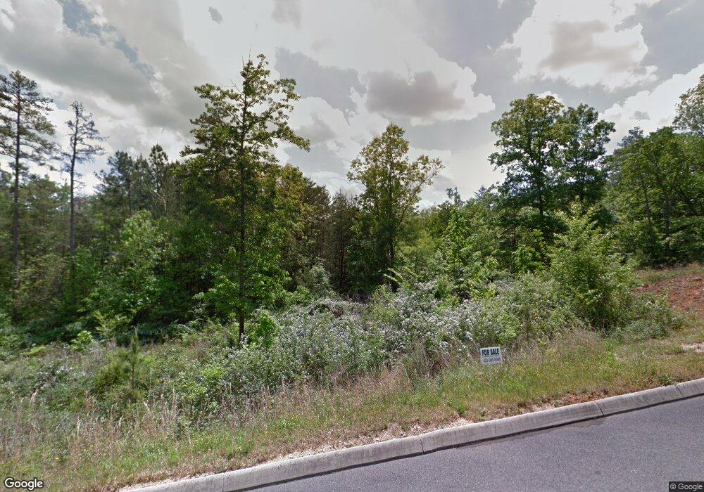
1387 Unity Dr NE Cleveland, TN 37312
Estimated Value: $396,297 - $455,000
4
Beds
3
Baths
2,262
Sq Ft
$191/Sq Ft
Est. Value
About This Home
This home is located at 1387 Unity Dr NE, Cleveland, TN 37312 and is currently estimated at $433,074, approximately $191 per square foot. 1387 Unity Dr NE is a home with nearby schools including Mayfield Elementary School, Cleveland Middle School, and Cleveland High School.
Ownership History
Date
Name
Owned For
Owner Type
Purchase Details
Closed on
Jun 16, 2021
Sold by
Simonson Brian K
Bought by
Davis Nelia C
Current Estimated Value
Home Financials for this Owner
Home Financials are based on the most recent Mortgage that was taken out on this home.
Original Mortgage
$348,078
Outstanding Balance
$315,141
Interest Rate
2.9%
Mortgage Type
FHA
Estimated Equity
$117,933
Purchase Details
Closed on
Sep 5, 2017
Sold by
Andrews David J and Mcnelley Lewis A
Bought by
Simonson Brian K
Create a Home Valuation Report for This Property
The Home Valuation Report is an in-depth analysis detailing your home's value as well as a comparison with similar homes in the area
Home Values in the Area
Average Home Value in this Area
Purchase History
| Date | Buyer | Sale Price | Title Company |
|---|---|---|---|
| Davis Nelia C | $354,500 | Equititle Inc | |
| Davis Nelia C | $354,500 | Equititle Inc | |
| Simonson Brian K | $15,000 | Equi Title |
Source: Public Records
Mortgage History
| Date | Status | Borrower | Loan Amount |
|---|---|---|---|
| Open | Davis Nelia C | $348,078 | |
| Closed | Davis Nelia C | $348,078 |
Source: Public Records
Tax History Compared to Growth
Tax History
| Year | Tax Paid | Tax Assessment Tax Assessment Total Assessment is a certain percentage of the fair market value that is determined by local assessors to be the total taxable value of land and additions on the property. | Land | Improvement |
|---|---|---|---|---|
| 2024 | $1,086 | $75,425 | $4,000 | $71,425 |
| 2023 | $2,378 | $75,425 | $4,000 | $71,425 |
| 2022 | $2,378 | $75,425 | $4,000 | $71,425 |
| 2021 | $1,467 | $46,550 | $0 | $0 |
| 2020 | $132 | $4,000 | $0 | $0 |
| 2019 | $293 | $7,625 | $3,425 | $0 |
| 2018 | $314 | $0 | $0 | $0 |
| 2017 | $157 | $0 | $0 | $0 |
| 2016 | $221 | $0 | $0 | $0 |
| 2015 | $221 | $0 | $0 | $0 |
| 2014 | $114 | $0 | $0 | $0 |
Source: Public Records
Map
Nearby Homes
- 1384 Unity Dr NE
- 1342 Unity Dr NE
- 00 Abbey Cove NE
- 1405 Blythe Ferry Rd NE
- 1322 Unity Dr NE
- 1320 Unity Dr NE
- 1004 Cottage Stone Ln NE
- 3905 Old Tasso Rd NE
- 1302 Blythe Ferry Place NE
- 3810 Old Tasso Rd NE
- 1310 Woodland Cove Place NE
- Lot 4 37th St NE
- Lot 3 37th St NE
- Lot 2 37th St NE
- Lot 1 37th St NE
- 3533 Windsor Cir NE
- 1327 Woodland Cove Place NE
- 1475 Morrison Ln NE
- 1420 Woodland Cove Dr NE
- 1391 Unity Dr NE
- 1391 N East Unity Dr
- 1369 Unity Dr NE
- 1376 Unity Dr NE
- 1399 Unity Dr NE
- 1425 Blythe Ferry Rd NE
- 1368 Unity Dr NE
- 1368 Unity Dr NE Unit 1
- 1368 Unity Dr NE
- 1355 Unity Dr NE
- 0 Lot 2 Ne Unity Dr Unit LOT 2 1352433
- 1360 Unity Dr NE
- 1335 Unity Dr NE
- 1225 Blythe Ferry Rd NE
- 1225 Blythe Ferry Rd NE
- 1327 Unity Dr NE
- 1354 Unity Dr NE
- 1354 Unity Dr NE Unit 16
- 1415 Blythe Ferry Rd NE
- 1000 Abbey Cove NE
