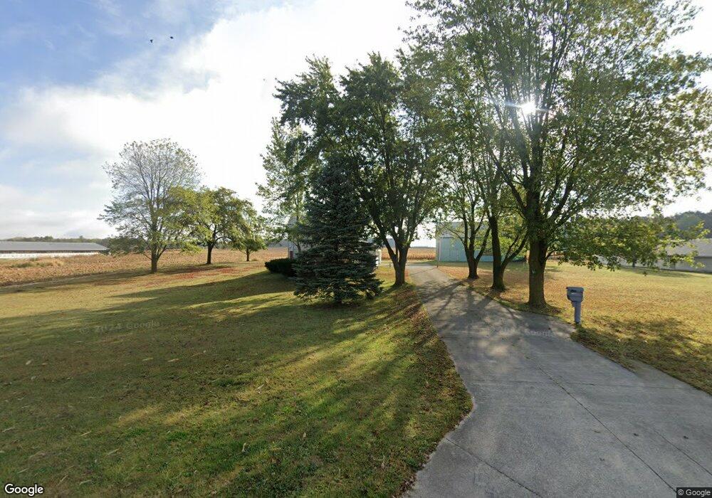
13879 Wilson Rd Union City, OH 45390
Estimated Value: $154,000 - $247,000
4
Beds
2
Baths
2,200
Sq Ft
$92/Sq Ft
Est. Value
About This Home
This home is located at 13879 Wilson Rd, Union City, OH 45390 and is currently estimated at $203,486, approximately $92 per square foot. 13879 Wilson Rd is a home located in Darke County with nearby schools including Mississinawa Valley Elementary School and Mississinawa Valley Junior/Senior High School.
Ownership History
Date
Name
Owned For
Owner Type
Purchase Details
Closed on
Jun 24, 2025
Sold by
Siefring Joseph S and Siefring Amy L
Bought by
Jas Farms Llc
Current Estimated Value
Purchase Details
Closed on
Jul 21, 2022
Sold by
Timmerman Revocable Living Trust
Bought by
Siefring Joseph S and Siefring Amy L
Purchase Details
Closed on
Nov 20, 2013
Sold by
Timmerman Charles L and Timmerman Emily A
Bought by
Timmerman Charles and Timmerman Emily
Purchase Details
Closed on
Sep 25, 2000
Sold by
Timmerman Armella
Bought by
Timmerman Charles and Timmerman Emily A
Home Financials for this Owner
Home Financials are based on the most recent Mortgage that was taken out on this home.
Original Mortgage
$60,000
Interest Rate
8.05%
Mortgage Type
New Conventional
Purchase Details
Closed on
Dec 20, 1991
Sold by
Timmerman William F
Bought by
Timmerman Charles and Timmerman Emily
Create a Home Valuation Report for This Property
The Home Valuation Report is an in-depth analysis detailing your home's value as well as a comparison with similar homes in the area
Home Values in the Area
Average Home Value in this Area
Purchase History
| Date | Buyer | Sale Price | Title Company |
|---|---|---|---|
| Jas Farms Llc | -- | None Listed On Document | |
| Jas Farms Llc | -- | None Listed On Document | |
| Siefring Joseph S | -- | None Listed On Document | |
| Timmerman Charles | -- | Attorney | |
| Timmerman Charles | $62,800 | -- | |
| Timmerman Charles | -- | -- |
Source: Public Records
Mortgage History
| Date | Status | Borrower | Loan Amount |
|---|---|---|---|
| Previous Owner | Timmerman Charles | $60,000 |
Source: Public Records
Tax History Compared to Growth
Tax History
| Year | Tax Paid | Tax Assessment Tax Assessment Total Assessment is a certain percentage of the fair market value that is determined by local assessors to be the total taxable value of land and additions on the property. | Land | Improvement |
|---|---|---|---|---|
| 2024 | $1,347 | $52,100 | $18,520 | $33,580 |
| 2023 | $1,349 | $52,100 | $18,520 | $33,580 |
| 2022 | $1,250 | $43,550 | $16,320 | $27,230 |
| 2021 | $1,563 | $43,550 | $16,320 | $27,230 |
| 2020 | $1,572 | $43,550 | $16,320 | $27,230 |
| 2019 | $1,287 | $38,100 | $16,320 | $21,780 |
| 2018 | $1,263 | $38,100 | $16,320 | $21,780 |
| 2017 | $1,026 | $38,100 | $16,320 | $21,780 |
| 2016 | $1,029 | $33,670 | $13,270 | $20,400 |
| 2015 | $1,029 | $33,670 | $13,270 | $20,400 |
| 2014 | $1,033 | $33,670 | $13,270 | $20,400 |
| 2013 | $1,083 | $33,390 | $12,990 | $20,400 |
Source: Public Records
Map
Nearby Homes
- 201 W Wiggs St
- 304 S Wayne St
- 0 County Road 400 N
- 1200 N Jackson Pike
- 3709 Rossburg-Lightsville Rd
- 509 Indiana 28
- 0 W Deerfield Rd Unit 23016117
- 0 W Deerfield Rd Unit 837795
- 0 W Deerfield Rd
- 811 N Columbia St
- 811 N Columbia St
- 4475 Ohio 705
- 543 N Walnut St
- 722 N Union St
- 718 Lynwood Ct
- 706 Lynwood Ct
- 807 E Cherry St
- 1013 Caroline Ave
- 504 Leahey St
- LOT 25 Governor Isaac P Gray Add
- 13842 Wilson Rd
- 13755 Wilson Rd
- 13872 Fort Recovery Hillgrov Rd
- 438 McFeely Petry Rd
- 8676 S State Line Rd
- 14103 Oh In State Line Rd N
- 14103 Oh In State Line Rd N
- 14103 Oh In State Line Rd N
- 8883 E 800 S
- 312 Peters Rd
- 460 Peters Rd
- 60 McFeely Petry Rd
- 8786 E 800 S
- 192 Peters Rd
- 11216 N Ohio-Ind State Line Rd
- 13808 Fort Recovery Hillgrov Rd
- 13808 Hillgrove-Fort Recovery Rd
- 8816 E 900 S
- 574 Peters Rd