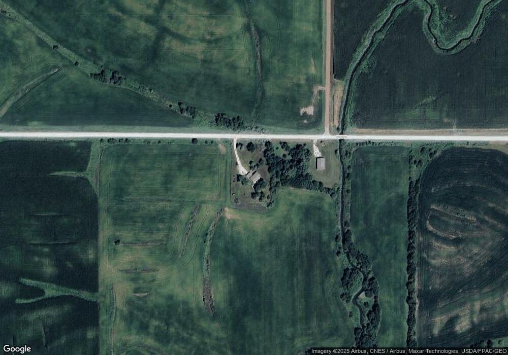
1388 205th St Creston, IA 50801
Estimated Value: $327,873 - $434,000
4
Beds
2
Baths
1,456
Sq Ft
$266/Sq Ft
Est. Value
About This Home
This home is located at 1388 205th St, Creston, IA 50801 and is currently estimated at $387,718, approximately $266 per square foot. 1388 205th St is a home located in Union County with nearby schools including Creston Early Childhood Center, Creston Elementary School, and Creston Middle School.
Ownership History
Date
Name
Owned For
Owner Type
Purchase Details
Closed on
Jun 17, 2011
Sold by
Miller Betty Joan
Bought by
Frey Dana L and Frey Erica
Current Estimated Value
Home Financials for this Owner
Home Financials are based on the most recent Mortgage that was taken out on this home.
Original Mortgage
$177,330
Outstanding Balance
$120,044
Interest Rate
4.25%
Mortgage Type
FHA
Estimated Equity
$267,674
Create a Home Valuation Report for This Property
The Home Valuation Report is an in-depth analysis detailing your home's value as well as a comparison with similar homes in the area
Home Values in the Area
Average Home Value in this Area
Purchase History
| Date | Buyer | Sale Price | Title Company |
|---|---|---|---|
| Frey Dana L | $185,000 | None Available |
Source: Public Records
Mortgage History
| Date | Status | Borrower | Loan Amount |
|---|---|---|---|
| Open | Frey Dana L | $177,330 |
Source: Public Records
Tax History Compared to Growth
Tax History
| Year | Tax Paid | Tax Assessment Tax Assessment Total Assessment is a certain percentage of the fair market value that is determined by local assessors to be the total taxable value of land and additions on the property. | Land | Improvement |
|---|---|---|---|---|
| 2025 | $3,956 | $318,120 | $54,000 | $264,120 |
| 2024 | $3,956 | $293,510 | $54,000 | $239,510 |
| 2023 | $4,800 | $296,130 | $48,400 | $247,730 |
| 2022 | $4,758 | $257,320 | $48,400 | $208,920 |
| 2021 | $4,758 | $240,480 | $45,230 | $195,250 |
| 2020 | $3,668 | $188,220 | $16,690 | $171,530 |
| 2019 | $3,722 | $188,220 | $0 | $0 |
| 2018 | $3,534 | $188,220 | $0 | $0 |
| 2017 | $3,534 | $188,220 | $0 | $0 |
| 2016 | $3,566 | $188,220 | $0 | $0 |
| 2015 | $3,566 | $172,680 | $0 | $0 |
| 2014 | $3,350 | $172,680 | $0 | $0 |
Source: Public Records
Map
Nearby Homes
- 1990 Clover Ave
- 942 Sherman Ave Unit 11
- 629 New York Ave
- 846 Quiet Harbor
- 829 Quiet Harbor Unit 11
- 830 Quiet Harbor
- 826 Quiet Harbor Unit 36
- 803 Quiet Harbor Unit 25 leased lot
- 1738 Ryan Dr
- 700 Hickory St
- 519 New York Ave
- 510 Wyoming Ave
- 903 S Cherry St
- 1705 Port Rd
- 606 S Elm St
- 411 New York Ave
- 605 S Pine St
- Lot 2 Summit Development Unit WITTMANN'S SUBDIVISI
- Lot 9 Summit Park Ln Unit 9 Wittmann's Subdivi
- Lot 7 Summit Park Ln Unit 7 Wittmann's Subdivi