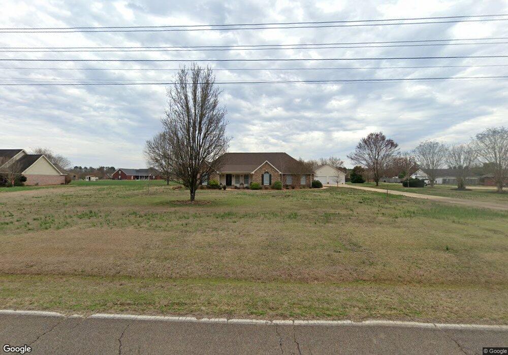
1389 Oswalt Rd Columbus, MS 39702
Estimated Value: $334,000 - $397,274
Studio
--
Bath
2,742
Sq Ft
$138/Sq Ft
Est. Value
About This Home
This home is located at 1389 Oswalt Rd, Columbus, MS 39702 and is currently estimated at $377,319, approximately $137 per square foot. 1389 Oswalt Rd is a home.
Ownership History
Date
Name
Owned For
Owner Type
Purchase Details
Closed on
Mar 2, 2023
Sold by
Hurt Rhonda C
Bought by
Waller Thomas W and Waller Judy L
Current Estimated Value
Purchase Details
Closed on
May 10, 2017
Sold by
Wyckoff Walter Scott and Wyckoff Pamela Wilson
Bought by
Hurt Rhonda C and Hurt Gary R
Home Financials for this Owner
Home Financials are based on the most recent Mortgage that was taken out on this home.
Original Mortgage
$188,000
Interest Rate
4.08%
Mortgage Type
New Conventional
Purchase Details
Closed on
Aug 27, 2014
Sold by
Morgan Bruce L and Morgan Lois E
Bought by
Wyckoff Walter Scott and Wyckoff Pamela Wilson
Create a Home Valuation Report for This Property
The Home Valuation Report is an in-depth analysis detailing your home's value as well as a comparison with similar homes in the area
Home Values in the Area
Average Home Value in this Area
Purchase History
| Date | Buyer | Sale Price | Title Company |
|---|---|---|---|
| Waller Thomas W | -- | -- | |
| Hurt Rhonda C | -- | None Available | |
| Wyckoff Walter Scott | -- | -- |
Source: Public Records
Mortgage History
| Date | Status | Borrower | Loan Amount |
|---|---|---|---|
| Previous Owner | Hurt Rhonda C | $188,000 |
Source: Public Records
Tax History
| Year | Tax Paid | Tax Assessment Tax Assessment Total Assessment is a certain percentage of the fair market value that is determined by local assessors to be the total taxable value of land and additions on the property. | Land | Improvement |
|---|---|---|---|---|
| 2025 | $2,088 | $28,845 | $0 | $0 |
| 2024 | $2,071 | $28,845 | $0 | $0 |
| 2023 | $1,156 | $19,461 | $0 | $0 |
| 2022 | $1,157 | $19,461 | $0 | $0 |
| 2021 | $1,512 | $19,461 | $0 | $0 |
| 2020 | $1,413 | $19,461 | $0 | $0 |
| 2019 | $1,170 | $19,278 | $0 | $0 |
| 2018 | $1,170 | $20,396 | $0 | $0 |
| 2017 | $1,469 | $30,594 | $0 | $0 |
| 2016 | $1,469 | $20,396 | $0 | $0 |
| 2015 | $1,509 | $20,856 | $0 | $0 |
| 2014 | $909 | $17,984 | $0 | $0 |
Source: Public Records
Map
Nearby Homes
- 836 Oswalt Rd
- 164 Sleepy Fawn Park
- 178 Rogers Way
- 17 Paige Cove
- 2654 Yorkville Rd E
- 274 Hughes Rd
- 91 Wilson Dr
- 9 Monticello Cir
- 59 Savannah St
- 479 Bryant Rd
- 262 Center Rd
- 16 Jenny Ln
- 76 Richardson Rd
- 220 Woodridge Place
- 611 Thornton Dr
- 732 Thornton Dr
- 1553 Hildreth Rd
- 0 Yorkville Rd E
- 248 Lakeover Dr W
- 805 Timber Creek Dr
- 1345 Oswalt Rd
- 1415 Oswalt Rd
- 182 Williams Place
- 1453 Oswalt Rd
- 1325 Oswalt Rd
- 192 Williams Place
- 148 Williams Place
- 1456 Oswalt Rd
- 93 Leigh Cove
- 126 Williams Place
- 212 Williams Place
- 1225 Oswalt Rd
- 39 Leigh Cove
- 141 Leigh Cove
- 135 Williams Place
- 270 Williams Place
- 40 Leigh Cove
- 109 Williams Place
- 238 Williams Place
- 255 Williams Place
Your Personal Tour Guide
Ask me questions while you tour the home.