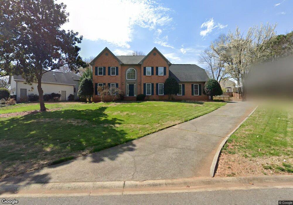
1389 Sheffield Pkwy Marietta, GA 30062
Eastern Marietta NeighborhoodEstimated Value: $544,000 - $646,000
4
Beds
3
Baths
3,116
Sq Ft
$189/Sq Ft
Est. Value
About This Home
This home is located at 1389 Sheffield Pkwy, Marietta, GA 30062 and is currently estimated at $589,674, approximately $189 per square foot. 1389 Sheffield Pkwy is a home located in Cobb County with nearby schools including Kincaid Elementary School, Simpson Middle School, and Sprayberry High School.
Ownership History
Date
Name
Owned For
Owner Type
Purchase Details
Closed on
Apr 8, 2024
Sold by
Sato Osamu and Sato Rie
Bought by
Sato Family Trust and Sato
Current Estimated Value
Purchase Details
Closed on
Dec 22, 1993
Sold by
Weil Cathy E
Bought by
Sato Osamu Rie
Home Financials for this Owner
Home Financials are based on the most recent Mortgage that was taken out on this home.
Original Mortgage
$169,000
Interest Rate
6.5%
Create a Home Valuation Report for This Property
The Home Valuation Report is an in-depth analysis detailing your home's value as well as a comparison with similar homes in the area
Home Values in the Area
Average Home Value in this Area
Purchase History
| Date | Buyer | Sale Price | Title Company |
|---|---|---|---|
| Sato Family Trust | -- | None Listed On Document | |
| Sato Osamu Rie | $177,900 | -- |
Source: Public Records
Mortgage History
| Date | Status | Borrower | Loan Amount |
|---|---|---|---|
| Previous Owner | Sato Osamu Rie | $169,000 |
Source: Public Records
Tax History Compared to Growth
Tax History
| Year | Tax Paid | Tax Assessment Tax Assessment Total Assessment is a certain percentage of the fair market value that is determined by local assessors to be the total taxable value of land and additions on the property. | Land | Improvement |
|---|---|---|---|---|
| 2025 | $5,156 | $220,080 | $40,000 | $180,080 |
| 2024 | $4,332 | $181,872 | $40,000 | $141,872 |
| 2023 | $3,789 | $181,872 | $40,000 | $141,872 |
| 2022 | $3,987 | $164,532 | $36,000 | $128,532 |
| 2021 | $3,267 | $131,660 | $36,000 | $95,660 |
| 2020 | $3,267 | $131,660 | $36,000 | $95,660 |
| 2019 | $3,049 | $121,668 | $26,000 | $95,668 |
| 2018 | $3,049 | $121,668 | $26,000 | $95,668 |
| 2017 | $2,656 | $108,516 | $26,000 | $82,516 |
| 2016 | $2,660 | $108,516 | $26,000 | $82,516 |
| 2015 | $2,345 | $91,820 | $26,000 | $65,820 |
| 2014 | $2,363 | $91,820 | $0 | $0 |
Source: Public Records
Map
Nearby Homes
- 1701 Smithwood Dr
- 2112 Allgood Rd
- 1833 Tree Top Ct
- 1580 Reids Ferry Way
- 1900 Branch View Dr
- 1822 Hasty Rd
- 1991 Kinridge Rd
- 2262 Pine Warbler Way
- 2289 Glenridge Dr
- 1599 Cambridge Place
- 2252 Carefree Cir Unit 3
- 1582 Cambridge
- 1511 Emerald Glen Dr
- 1972 Granite Mill Rd
- 1780 Kinridge Rd
- 1519 Evanston Ln
- 2020 Starlight Dr
- 1256 E Piedmont Rd
- 1442 Glenover Cir
- 1834 Butterfly NE
- 1387 Sheffield Pkwy
- 1854 Newberry Ct
- 1391 Sheffield Pkwy
- 1852 Newberry Ct
- 0 Newberry Ct
- 1383 Sheffield Pkwy
- 1393 Sheffield Pkwy
- 1388 Sheffield Pkwy
- 1390 Sheffield Pkwy
- 1857 Newberry Ct
- 1850 Newberry Ct
- 1386 Sheffield Pkwy
- 1381 Sheffield Pkwy
- 1392 Sheffield Pkwy
- 1382 Sheffield Pkwy
- 1380 Sheffield Pkwy
- 1855 Newberry Ct
- 1384 Sheffield Pkwy
- 1520 Oakmoor Place Unit 2
- 1378 Sheffield Pkwy