139 Babb Dr Joelton, TN 37080
Joelton NeighborhoodEstimated Value: $365,000 - $531,000
3
Beds
2
Baths
1,344
Sq Ft
$330/Sq Ft
Est. Value
About This Home
This home is located at 139 Babb Dr, Joelton, TN 37080 and is currently estimated at $444,019, approximately $330 per square foot. 139 Babb Dr is a home located in Davidson County with nearby schools including Joelton Elementary School, Joelton Middle School, and Haynes Middle.
Ownership History
Date
Name
Owned For
Owner Type
Purchase Details
Closed on
Jan 27, 2003
Sold by
Gifford Joseph C
Bought by
Allen Sheila Renee
Current Estimated Value
Purchase Details
Closed on
Jan 30, 1998
Sold by
Gifford William C and Gifford Susan
Bought by
Gifford Joseph C and Gifford Willie
Purchase Details
Closed on
Feb 9, 1996
Sold by
Puckett Ricky T
Bought by
Gifford William C
Create a Home Valuation Report for This Property
The Home Valuation Report is an in-depth analysis detailing your home's value as well as a comparison with similar homes in the area
Home Values in the Area
Average Home Value in this Area
Purchase History
| Date | Buyer | Sale Price | Title Company |
|---|---|---|---|
| Allen Sheila Renee | -- | -- | |
| Gifford Joseph C | $14,000 | -- | |
| Gifford William C | $8,000 | -- |
Source: Public Records
Tax History Compared to Growth
Tax History
| Year | Tax Paid | Tax Assessment Tax Assessment Total Assessment is a certain percentage of the fair market value that is determined by local assessors to be the total taxable value of land and additions on the property. | Land | Improvement |
|---|---|---|---|---|
| 2024 | $2,038 | $69,750 | $25,650 | $44,100 |
| 2023 | $2,038 | $69,750 | $25,650 | $44,100 |
| 2022 | $2,038 | $69,750 | $25,650 | $44,100 |
| 2021 | $2,060 | $69,750 | $25,650 | $44,100 |
| 2020 | $1,903 | $50,250 | $13,825 | $36,425 |
| 2019 | $1,384 | $50,250 | $13,825 | $36,425 |
| 2018 | $1,384 | $50,250 | $13,825 | $36,425 |
| 2017 | $1,384 | $50,250 | $13,825 | $36,425 |
| 2016 | $1,802 | $45,925 | $15,100 | $30,825 |
| 2015 | $1,802 | $45,925 | $15,100 | $30,825 |
| 2014 | $1,573 | $45,925 | $15,100 | $30,825 |
Source: Public Records
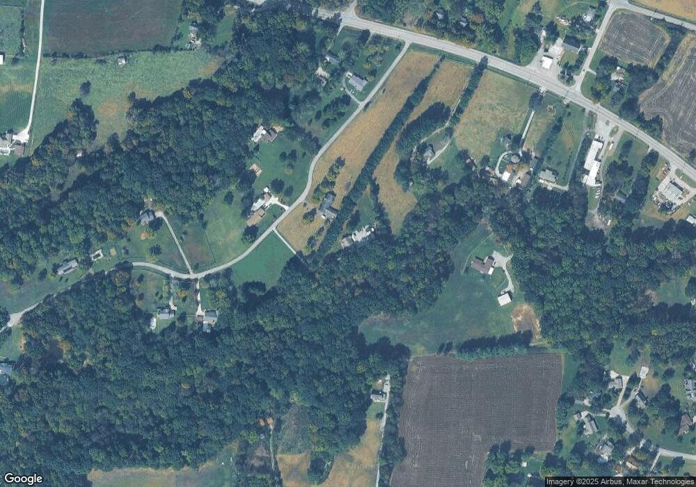
Map
Nearby Homes
- 6343 Clarksville Pike
- 5145 Creasy Dr
- 6421 Clarksville Pike
- 3828 Old Clarksville Pike
- 7181 Bidwell Rd
- 0 Clarksville Pike Unit RTC2777773
- 0 Clarksville Pike Unit RTC2777775
- 4222 Bernard Rd
- 5932 Clarksville Pike
- 0 Twin Falls Dr
- 4341 Bernard Rd
- 1012 Gayron Dr
- 0 Whites Creek Pike
- 3755 Bear Hollow Rd
- 1051 Jacobs Valley Rd
- 5843 Happy Hollow Ln
- 6220 Lake Rd
- 5776 Craft Rd
- 7508 Gary Rd
- 6838 Old Clarksville Pike
- 131 Babb Dr
- 134 Babb Dr
- 6319 Clarksville Pike
- 126 Babb Dr
- 6225 Clarksville Pike
- 155 Babb Dr
- 5124 Rawlings Rd
- 104 Babb Dr
- 6309 Clarksville Pike
- 165 Babb Dr
- 156 Babb Dr
- 5136 Rawlings Rd
- 6229 Clarksville Pike
- 6436 Clarksville Pike
- 6430 Clarksville Pike
- 6373 Clarksville Pike
- 6412 Clarksville Pike
- 6408 Clarksville Pike
- 180 Babb Dr
- 6209 Clarksville Pike