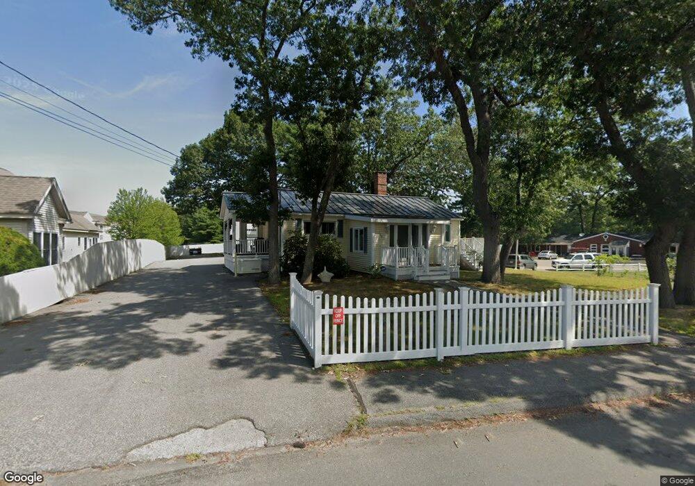
139 Beach Rd Salisbury, MA 01952
Estimated Value: $435,000 - $546,000
2
Beds
1
Bath
1,018
Sq Ft
$484/Sq Ft
Est. Value
About This Home
This home is located at 139 Beach Rd, Salisbury, MA 01952 and is currently estimated at $492,697, approximately $483 per square foot. 139 Beach Rd is a home located in Essex County with nearby schools including Triton Regional High School.
Ownership History
Date
Name
Owned For
Owner Type
Purchase Details
Closed on
Feb 11, 2022
Sold by
Stanley Anne P
Bought by
Ll Who Ret
Current Estimated Value
Purchase Details
Closed on
May 2, 2014
Sold by
Us Bank Na Tr
Bought by
Stanley Phyllis A
Purchase Details
Closed on
Aug 3, 2012
Sold by
Stanley Lushie L
Bought by
Us Bank Na
Purchase Details
Closed on
Jul 11, 2011
Sold by
Beach Salisbury Rt
Bought by
Stanly Lushi L
Purchase Details
Closed on
Aug 21, 1987
Sold by
Webb Robert B
Bought by
Salisbury Desmond Rt
Create a Home Valuation Report for This Property
The Home Valuation Report is an in-depth analysis detailing your home's value as well as a comparison with similar homes in the area
Home Values in the Area
Average Home Value in this Area
Purchase History
| Date | Buyer | Sale Price | Title Company |
|---|---|---|---|
| Ll Who Ret | -- | None Available | |
| Stanley Phyllis A | $187,500 | -- | |
| Us Bank Na | $178,500 | -- | |
| Stanly Lushi L | -- | -- | |
| Salisbury Desmond Rt | $165,000 | -- |
Source: Public Records
Mortgage History
| Date | Status | Borrower | Loan Amount |
|---|---|---|---|
| Previous Owner | Salisbury Desmond Rt | $282,200 | |
| Previous Owner | Salisbury Desmond Rt | $166,000 |
Source: Public Records
Tax History
| Year | Tax Paid | Tax Assessment Tax Assessment Total Assessment is a certain percentage of the fair market value that is determined by local assessors to be the total taxable value of land and additions on the property. | Land | Improvement |
|---|---|---|---|---|
| 2025 | $4,335 | $430,100 | $160,400 | $269,700 |
| 2024 | $4,396 | $420,700 | $160,400 | $260,300 |
| 2023 | $4,293 | $397,500 | $160,400 | $237,100 |
| 2022 | $4,250 | $381,500 | $144,400 | $237,100 |
| 2021 | $4,185 | $371,700 | $144,400 | $227,300 |
| 2020 | $3,867 | $337,400 | $144,400 | $193,000 |
| 2019 | $3,793 | $319,800 | $140,400 | $179,400 |
| 2018 | $3,535 | $300,100 | $128,600 | $171,500 |
| 2017 | $3,401 | $285,300 | $120,300 | $165,000 |
| 2016 | $3,321 | $284,600 | $116,300 | $168,300 |
| 2015 | $3,026 | $257,500 | $108,300 | $149,200 |
Source: Public Records
Map
Nearby Homes
- 127 Beach Rd
- 135 Beach Rd Unit B114
- 2 Old County Rd Unit 13
- 2 Old County Rd Unit 10
- 2 Old County Rd Unit 15
- 34 Dock Ln
- 170 Beach Rd Unit 52
- 3 Lighthouse Cir Unit A
- 48 Beach Rd Unit C
- 84 Forest Rd
- 20 Cable Ave Unit 5
- 30 Cable Ave Unit 2
- 100 Forest Rd
- 16 N End Blvd Unit 2
- 16 N End Blvd Unit 8
- 16 N End Blvd Unit 3
- 16 N End Blvd Unit 7
- 16 N End Blvd Unit 12
- 16 N End Blvd Unit 5
- 16 N End Blvd Unit 9
- 148 Beach Rd
- 148 Beach Rd Unit 1
- 3 Adams St
- 131 Beach Rd
- 144 Beach Rd
- 142 Beach Rd
- 12 Garfield St
- 154 Beach Rd
- 15 Garfield St
- 151 Beach Rd
- 136 Beach Rd
- 125 Beach Rd
- 134 Beach Rd
- 17 Garfield St
- 11 Garfield St
- 13 Garfield St
- 4 Garfield St
- 135 Beach Rd Unit B319
- 135 Beach Rd Unit B317
- 135 Beach Rd Unit B316
Your Personal Tour Guide
Ask me questions while you tour the home.