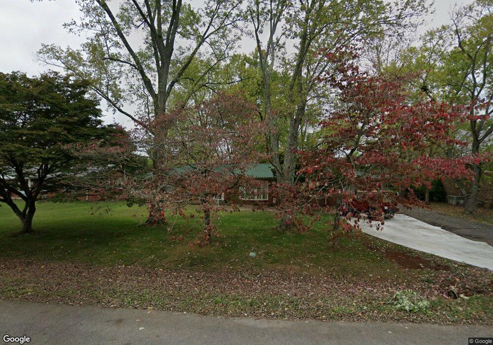
139 Bel Aire Dr Winchester, TN 37398
Estimated Value: $231,745 - $330,000
--
Bed
2
Baths
1,986
Sq Ft
$150/Sq Ft
Est. Value
About This Home
This home is located at 139 Bel Aire Dr, Winchester, TN 37398 and is currently estimated at $297,186, approximately $149 per square foot. 139 Bel Aire Dr is a home located in Franklin County with nearby schools including North Middle School, Franklin County High School, and Winchester Christian Academy.
Ownership History
Date
Name
Owned For
Owner Type
Purchase Details
Closed on
Aug 28, 2020
Sold by
Vhitehead Carol
Bought by
Cole David and Cole Cheryl
Current Estimated Value
Home Financials for this Owner
Home Financials are based on the most recent Mortgage that was taken out on this home.
Original Mortgage
$123,600
Outstanding Balance
$109,888
Interest Rate
3%
Mortgage Type
VA
Estimated Equity
$187,298
Purchase Details
Closed on
Apr 28, 2015
Sold by
Clark Dorothy J
Bought by
Whitehead Carol
Purchase Details
Closed on
Aug 15, 2002
Sold by
Perry Richard T
Bought by
Clark Johnny C
Purchase Details
Closed on
Oct 14, 1966
Bought by
Perry Richard T and Perry Frankie
Create a Home Valuation Report for This Property
The Home Valuation Report is an in-depth analysis detailing your home's value as well as a comparison with similar homes in the area
Home Values in the Area
Average Home Value in this Area
Purchase History
| Date | Buyer | Sale Price | Title Company |
|---|---|---|---|
| Cole David | $123,600 | Sovereign T&E Llc | |
| Whitehead Carol | $55,000 | -- | |
| Clark Johnny C | $79,000 | -- | |
| Perry Richard T | -- | -- |
Source: Public Records
Mortgage History
| Date | Status | Borrower | Loan Amount |
|---|---|---|---|
| Open | Cole David | $123,600 |
Source: Public Records
Tax History Compared to Growth
Tax History
| Year | Tax Paid | Tax Assessment Tax Assessment Total Assessment is a certain percentage of the fair market value that is determined by local assessors to be the total taxable value of land and additions on the property. | Land | Improvement |
|---|---|---|---|---|
| 2024 | $1,414 | $54,975 | $3,250 | $51,725 |
| 2023 | $1,414 | $54,975 | $3,250 | $51,725 |
| 2022 | $1,125 | $44,625 | $3,250 | $41,375 |
| 2021 | $683 | $44,625 | $3,250 | $41,375 |
| 2020 | $942 | $26,650 | $2,625 | $24,025 |
| 2019 | $942 | $26,650 | $2,625 | $24,025 |
| 2018 | $887 | $26,650 | $2,625 | $24,025 |
| 2017 | $887 | $26,650 | $2,625 | $24,025 |
| 2016 | $848 | $25,450 | $2,625 | $22,825 |
| 2015 | $832 | $25,450 | $2,625 | $22,825 |
| 2014 | -- | $25,447 | $0 | $0 |
Source: Public Records
Map
Nearby Homes
- 136 Bel Aire Dr
- 120 Dogwood Ln
- 0 Spring Hill Dr
- 209 Franklin Park
- 0 Sharp Springs Rd Unit RTC2980057
- 60 Sharp Cir
- 66 Edgefield Ct
- 103 Lisa Cir
- 67 Summerset Dr
- 67 Edgefield Ct
- 53 Summerset Dr
- 505 Kindel Dr
- 348 Lookout Dr
- 307 Mary Sharp Dr
- 201 Lookout Dr
- 1336 Sharp Springs Rd
- 249 Lookout Dr
- 0 Lookout Dr Unit RTC3000162
- 0 Lookout Dr Unit RTC2976836
- 0 Mary Sharp Dr
- 137 Bel Aire Dr
- 141 Bel Aire Dr
- 105 Bel Aire Dr
- 103 Bel Aire Dr
- 135 Bel Aire Dr
- 143 Bel Aire Dr
- 107 Bel Aire Dr
- 150 Bel Aire Dr
- 148 Bel Aire Dr
- 101 Bel Aire Dr
- 152 Bel Aire Dr
- 146 Bel Aire Dr
- 109 Bel Aire Dr
- 133 Bel Aire Dr
- 154 Bel Aire Dr
- 750 Sharp Springs Rd
- 144 Bel Aire Dr
- 104 Bel Aire Dr
- 111 Bel Aire Dr
- 102 Bel Aire Dr