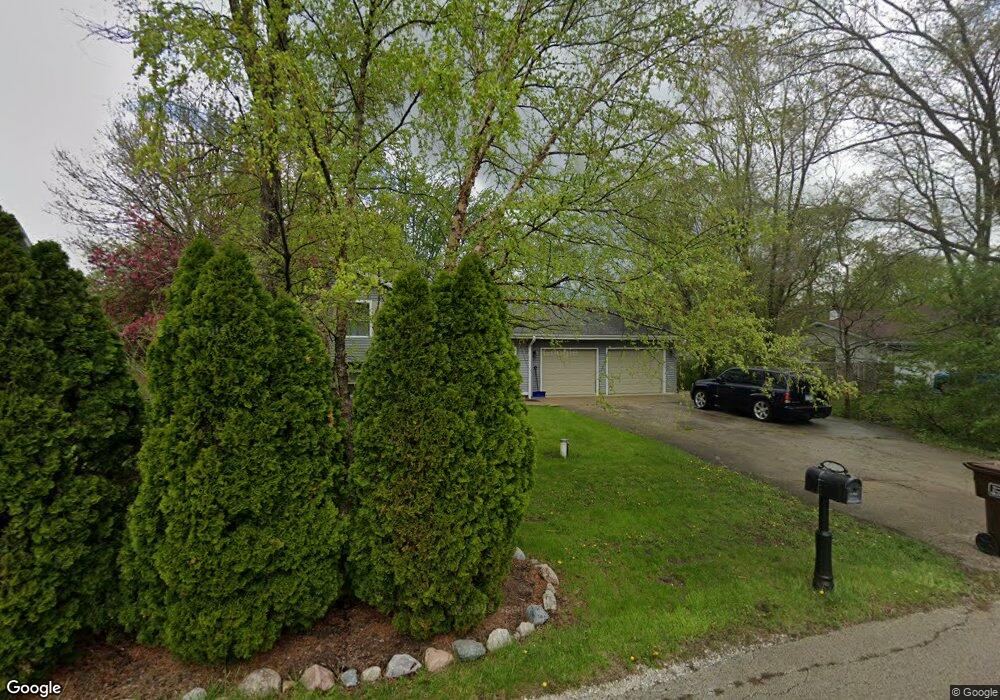
139 Branchaw Blvd New Lenox, IL 60451
Estimated Value: $268,101 - $326,000
--
Bed
--
Bath
--
Sq Ft
0.28
Acres
About This Home
This home is located at 139 Branchaw Blvd, New Lenox, IL 60451 and is currently estimated at $308,025. 139 Branchaw Blvd is a home located in Will County with nearby schools including Oster-Oakview School, Haines Elementary School, and Lincoln Way West.
Ownership History
Date
Name
Owned For
Owner Type
Purchase Details
Closed on
Sep 23, 1997
Sold by
Ellis Paul D and Ellis Edna J
Bought by
Petit David E
Current Estimated Value
Home Financials for this Owner
Home Financials are based on the most recent Mortgage that was taken out on this home.
Original Mortgage
$119,900
Outstanding Balance
$18,843
Interest Rate
7.63%
Estimated Equity
$289,182
Purchase Details
Closed on
Jun 21, 1993
Bought by
Petit David E
Create a Home Valuation Report for This Property
The Home Valuation Report is an in-depth analysis detailing your home's value as well as a comparison with similar homes in the area
Home Values in the Area
Average Home Value in this Area
Purchase History
| Date | Buyer | Sale Price | Title Company |
|---|---|---|---|
| Petit David E | $150,000 | Chicago Title Insurance Co | |
| Petit David E | $129,900 | -- |
Source: Public Records
Mortgage History
| Date | Status | Borrower | Loan Amount |
|---|---|---|---|
| Open | Petit David E | $119,900 |
Source: Public Records
Tax History Compared to Growth
Tax History
| Year | Tax Paid | Tax Assessment Tax Assessment Total Assessment is a certain percentage of the fair market value that is determined by local assessors to be the total taxable value of land and additions on the property. | Land | Improvement |
|---|---|---|---|---|
| 2024 | $6,552 | $91,735 | $20,863 | $70,872 |
| 2023 | $6,552 | $83,623 | $19,018 | $64,605 |
| 2022 | $5,925 | $77,036 | $17,520 | $59,516 |
| 2021 | $5,616 | $72,450 | $16,477 | $55,973 |
| 2020 | $5,448 | $69,865 | $15,889 | $53,976 |
| 2019 | $5,205 | $67,698 | $15,396 | $52,302 |
| 2018 | $5,078 | $65,364 | $14,865 | $50,499 |
| 2017 | $4,814 | $63,485 | $14,438 | $49,047 |
| 2016 | $4,668 | $61,786 | $14,052 | $47,734 |
| 2015 | $4,511 | $59,841 | $13,610 | $46,231 |
| 2014 | $4,511 | $59,102 | $13,442 | $45,660 |
| 2013 | $4,511 | $59,898 | $13,623 | $46,275 |
Source: Public Records
Map
Nearby Homes
- 1344 N Cedar Rd
- 133 Barbara Ln
- 200 Redwood Ave
- 208 Redwood Ave
- 1231 Town Crest Dr Unit E
- 1999 Silver Cross Blvd
- 217 Aspen Dr
- 0 Silver Cross Blvd
- 1301 Silver Cross Blvd
- 12001 W Route 6
- 807 Picardy Place
- 338 Willow St
- 224 Hauser Ct
- 125 Kimber Dr
- 1261 S Regan Rd
- 1920 Edmonds Ave
- 203 Fir St
- 331 Old Hickory Rd
- 13621 W Maple Rd
- 13741 Elizabeth Ln
- 143 Branchaw Blvd
- 135 Branchaw Blvd
- 146 Michael Ln
- 150 Michael Ln
- 142 Michael Ln
- 149 Branchaw Blvd
- 131 Branchaw Blvd
- 154 Michael Ln
- 144 Branchaw Blvd
- 138 Michael Ln
- 158 Michael Ln
- 134 Michael Ln
- 127 Branchaw Blvd
- 151 Branchaw Blvd
- 145 Michael Ln
- 1750 Elm Dr
- 149 Michael Ln
- 130 Michael Ln
- 141 Michael Ln
- 153 Michael Ln