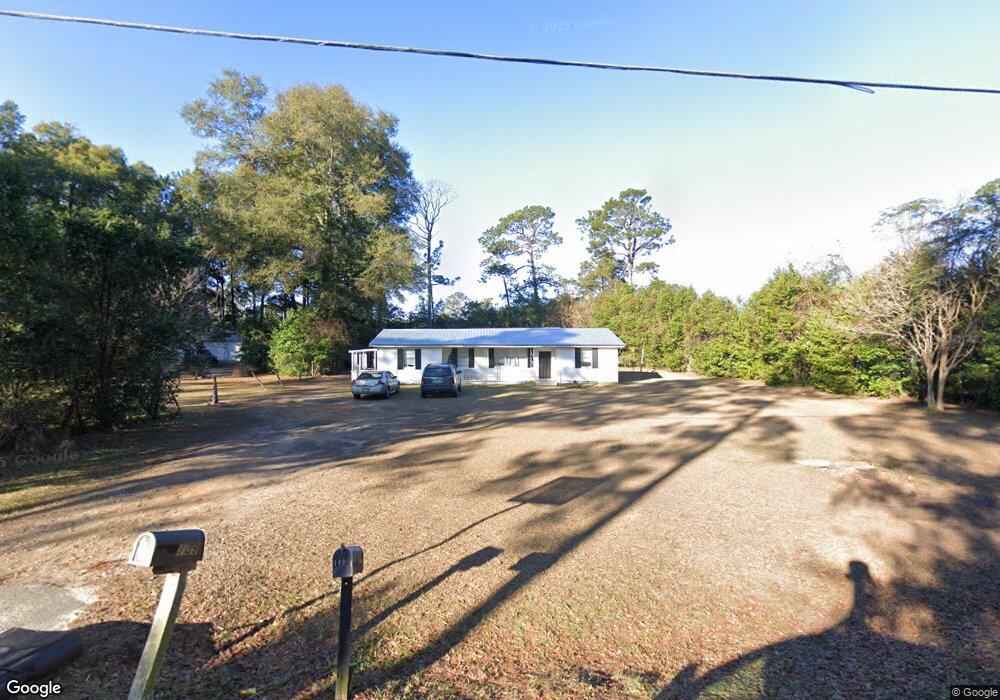
139 Dodson Dr Bainbridge, GA 39817
Estimated Value: $101,000 - $219,000
Studio
1
Bath
1,372
Sq Ft
$122/Sq Ft
Est. Value
About This Home
This home is located at 139 Dodson Dr, Bainbridge, GA 39817 and is currently estimated at $167,381, approximately $121 per square foot. 139 Dodson Dr is a home located in Decatur County with nearby schools including Bainbridge High School, Spring Creek Charter Academy, and Grace Christian Academy.
Ownership History
Date
Name
Owned For
Owner Type
Purchase Details
Closed on
Mar 20, 2008
Sold by
Reetz Richard Leo
Bought by
Kendrick Donnie
Current Estimated Value
Home Financials for this Owner
Home Financials are based on the most recent Mortgage that was taken out on this home.
Original Mortgage
$80,910
Outstanding Balance
$49,865
Interest Rate
5.97%
Mortgage Type
New Conventional
Estimated Equity
$117,516
Purchase Details
Closed on
Apr 21, 2006
Sold by
Reetz Danna
Bought by
Reetz Richard Leo and Reetz Danna A
Purchase Details
Closed on
Mar 7, 2006
Sold by
First Fam Financial Svc
Bought by
First Fam Financial Svcs In
Create a Home Valuation Report for This Property
The Home Valuation Report is an in-depth analysis detailing your home's value as well as a comparison with similar homes in the area
Purchase History
| Date | Buyer | Sale Price | Title Company |
|---|---|---|---|
| Kendrick Donnie | $89,900 | -- | |
| Reetz Richard Leo | -- | -- | |
| Reetz Danna | $42,900 | -- | |
| First Fam Financial Svcs In | $36,500 | -- |
Source: Public Records
Mortgage History
| Date | Status | Borrower | Loan Amount |
|---|---|---|---|
| Open | Kendrick Donnie | $80,910 |
Source: Public Records
Tax History
| Year | Tax Paid | Tax Assessment Tax Assessment Total Assessment is a certain percentage of the fair market value that is determined by local assessors to be the total taxable value of land and additions on the property. | Land | Improvement |
|---|---|---|---|---|
| 2025 | $1,151 | $38,518 | $1,508 | $37,010 |
| 2024 | $987 | $32,762 | $1,508 | $31,254 |
| 2023 | $987 | $32,762 | $1,508 | $31,254 |
| 2022 | $949 | $32,597 | $1,508 | $31,089 |
| 2021 | $879 | $29,649 | $1,508 | $28,141 |
| 2020 | $794 | $25,416 | $1,508 | $23,908 |
| 2019 | $803 | $24,744 | $1,478 | $23,266 |
| 2018 | $793 | $24,744 | $1,478 | $23,266 |
| 2017 | $776 | $24,744 | $1,478 | $23,266 |
| 2016 | $776 | $24,744 | $1,478 | $23,266 |
| 2015 | $787 | $24,744 | $1,478 | $23,266 |
| 2014 | $687 | $24,744 | $1,478 | $23,266 |
| 2013 | -- | $24,744 | $1,478 | $23,266 |
Source: Public Records
Map
Nearby Homes
- 160 Sasser Store Rd
- 116 Bud Harrell Rd
- 290 Long Rd
- 2010 Ashton Way
- 2008 Ashton Way
- 0 Knollwood Cir Unit 10601153
- 2000 Ashton Way
- 1404 College Rd
- 1030 Meadow Ridge Dr
- 2107 Hughes St
- 1600 Dogwood Dr
- 2992 Thomasville Rd
- 2219 Wyndham Way
- 1702 Vada Rd
- 1715 Douglas Dr
- 1513 Richmond Ln
- 1604 Twin Lakes Dr
- 1504 Botts
- 1511 Woodland Dr
- 1504 Woodland Dr
- 143 Dodson Dr
- 140 Dodson Dr
- 136 Dodson Dr
- 172 Sasser Store Rd
- 144 Dodson Dr
- 129 Dodson Dr
- 132 Dodson Dr
- 146 Dodson Dr
- 152 Parrish Rd
- 152 Sasser Store Rd
- 147 Parrish Rd
- 121 Dodson Dr
- 157 Parrish Rd
- 122 Dodson Dr
- 148 Sasser Store Rd
- 153 Sasser Store Rd
- 186 Sasser Store Rd
- 167 Sasser Store Rd
- 173 Sasser Store Rd
- 179 Sasser Store Rd
Your Personal Tour Guide
Ask me questions while you tour the home.