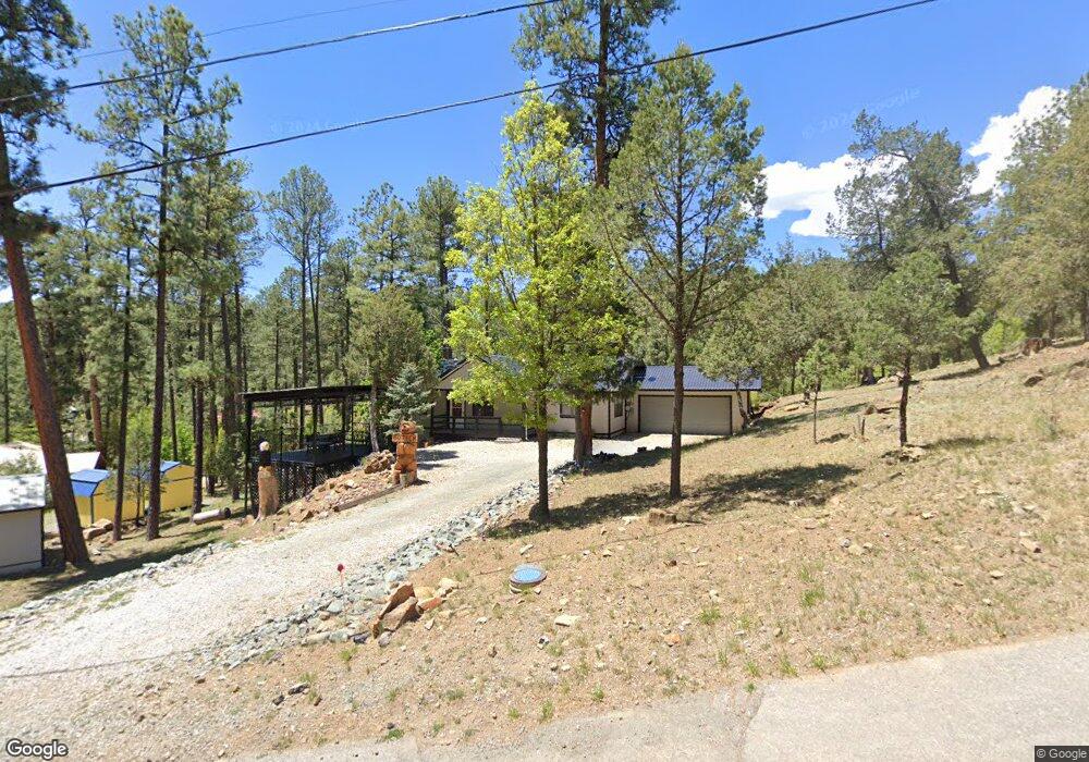
139 Ebarb Dr Unit 1 Ruidoso, NM 88345
Estimated Value: $298,000 - $393,000
3
Beds
2
Baths
1,420
Sq Ft
$247/Sq Ft
Est. Value
About This Home
This home is located at 139 Ebarb Dr Unit 1, Ruidoso, NM 88345 and is currently estimated at $350,555, approximately $246 per square foot. 139 Ebarb Dr Unit 1 is a home located in Lincoln County with nearby schools including Sierra Vista Primary School, White Mountain Elementary School, and Ruidoso Middle School.
Ownership History
Date
Name
Owned For
Owner Type
Purchase Details
Closed on
Oct 23, 2023
Sold by
Brst Development Llc
Bought by
Bridges Christopher W and Mohundro-Bridges Jennifer Leah
Current Estimated Value
Purchase Details
Closed on
Jul 21, 2021
Sold by
Hwb Properties Llc
Bought by
Long Nick W and Long Melissa
Purchase Details
Closed on
Jul 13, 2016
Sold by
Romero Stella L
Bought by
Hwb Properties Llc
Create a Home Valuation Report for This Property
The Home Valuation Report is an in-depth analysis detailing your home's value as well as a comparison with similar homes in the area
Home Values in the Area
Average Home Value in this Area
Purchase History
| Date | Buyer | Sale Price | Title Company |
|---|---|---|---|
| Bridges Christopher W | -- | None Listed On Document | |
| Long Nick W | -- | Lincoln Cnty Abstract & Ttl | |
| Hwb Properties Llc | -- | None Available |
Source: Public Records
Tax History Compared to Growth
Tax History
| Year | Tax Paid | Tax Assessment Tax Assessment Total Assessment is a certain percentage of the fair market value that is determined by local assessors to be the total taxable value of land and additions on the property. | Land | Improvement |
|---|---|---|---|---|
| 2025 | $2,777 | $92,371 | $7,834 | $84,537 |
| 2024 | $2,777 | $92,371 | $7,834 | $84,537 |
| 2023 | $2,777 | $92,371 | $7,834 | $84,537 |
| 2022 | $2,792 | $92,371 | $7,834 | $84,537 |
| 2021 | $1,663 | $55,262 | $3,105 | $52,157 |
| 2020 | $1,629 | $53,653 | $3,015 | $50,638 |
| 2019 | $1,524 | $52,601 | $2,956 | $49,645 |
| 2018 | $1,471 | $51,069 | $2,870 | $48,199 |
| 2017 | $1,416 | $49,581 | $2,786 | $46,795 |
| 2015 | $1,377 | $48,142 | $2,705 | $45,437 |
| 2014 | $1,378 | $48,142 | $2,705 | $45,437 |
Source: Public Records
Map
Nearby Homes
- 115 Perk Canyon Dr
- 110 Nopal Ln
- 200/202 W Redwood Dr
- 122 Mountain Breeze Dr
- 206 W Redwood Dr
- 203 Perk Canyon Dr
- 108-110 Beech Rd
- 214 Maple Dr
- 104 Quince Cir
- 107 Dufo St
- 102-104 Beech St
- 123 Rose Ave
- 122 Maple Dr
- 145 Whirlaway Dr
- 119 Maple Dr
- 600 Main Rd
- 307B Main Rd
- 305 S Oak Dr
- 117 Forest Ln
- 405 Brady Canyon Rd
- 139 Ebarb Dr
- 139 Ebarb Dr
- 137 Ebarb Dr Unit 1
- 141 Ebarb Dr Unit 1
- 102 Perk Canyon Dr
- 102 Perk Canyon Dr Unit 1
- 104 Perk Canyon Dr
- 100 Perk Canyon Dr
- 100 Perk Canyon Dr Unit oo
- 136 Ebarb Dr Unit 1
- 136 Ebarb Dr
- 134 Ebarb Dr Unit 1
- 140 Ebarb Dr
- 104 Park Place Unit 1
- 150 Ebarb Dr
- 138 Ebarb Dr Unit 1
- 121 Peak Dr
- 142 Ebarb Dr
- 142 Ebarb Dr Unit 1
- 142 Ebarb Dr