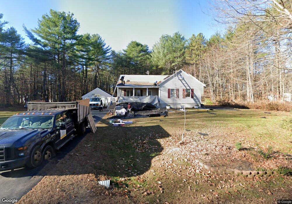
139 Files Rd Gorham, ME 04038
Estimated Value: $452,694 - $497,000
3
Beds
1
Bath
1,232
Sq Ft
$387/Sq Ft
Est. Value
About This Home
This home is located at 139 Files Rd, Gorham, ME 04038 and is currently estimated at $476,174, approximately $386 per square foot. 139 Files Rd is a home with nearby schools including Village Elementary School, Gorham Middle School, and Gorham High School.
Create a Home Valuation Report for This Property
The Home Valuation Report is an in-depth analysis detailing your home's value as well as a comparison with similar homes in the area
Home Values in the Area
Average Home Value in this Area
Tax History
| Year | Tax Paid | Tax Assessment Tax Assessment Total Assessment is a certain percentage of the fair market value that is determined by local assessors to be the total taxable value of land and additions on the property. | Land | Improvement |
|---|---|---|---|---|
| 2025 | $5,399 | $364,800 | $77,100 | $287,700 |
| 2024 | $5,363 | $364,800 | $77,100 | $287,700 |
| 2023 | $5,016 | $364,800 | $77,100 | $287,700 |
| 2022 | $4,688 | $364,800 | $77,100 | $287,700 |
| 2021 | $4,117 | $212,200 | $64,700 | $147,500 |
| 2020 | $4,032 | $212,200 | $64,700 | $147,500 |
| 2019 | $4,021 | $212,200 | $64,700 | $147,500 |
| 2018 | $3,862 | $212,200 | $64,700 | $147,500 |
| 2017 | $3,629 | $212,200 | $64,700 | $147,500 |
| 2016 | $3,607 | $212,200 | $64,700 | $147,500 |
| 2015 | $3,459 | $212,200 | $64,700 | $147,500 |
| 2014 | $3,377 | $194,100 | $59,500 | $134,600 |
| 2013 | $3,358 | $194,100 | $59,500 | $134,600 |
Source: Public Records
Map
Nearby Homes
- 866 Parker Farm Rd Unit A
- 866 Parker Farm Rd Unit B
- 866 Parker Farm Lot B Rd
- 866 Parker Farm Lot A Rd
- 16 Daniel St
- 4 Musket Dr
- 42 Brandons Way
- 35 Rust Rd
- 30 Joan Dixon Way
- 116 Dingley Spring Rd
- 4 Blueberry Ln Unit 4
- 207 Dunnell Rd
- 555 Fort Hill Rd
- Lot 2 Commerce Way
- 63 Ossipee Trail E
- 82 Carll Rd
- 66 Ossipee Trail East Trail E
- 27 Ossipee Trail E Unit 1
- 16 Norway Rd
- 4 Cortland Place Unit 3
Your Personal Tour Guide
Ask me questions while you tour the home.