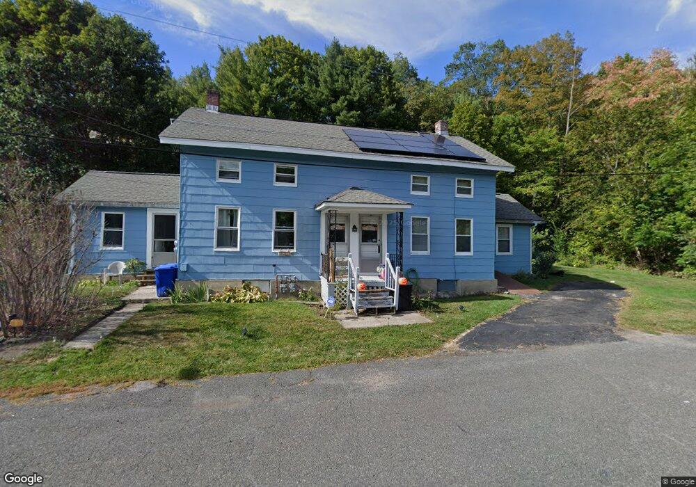
139 Front St North Adams, MA 01247
Estimated Value: $194,000 - $360,000
2
Beds
3
Baths
1,947
Sq Ft
$137/Sq Ft
Est. Value
About This Home
This home is located at 139 Front St, North Adams, MA 01247 and is currently estimated at $266,350, approximately $136 per square foot. 139 Front St is a home located in Berkshire County with nearby schools including Colegrove Park Elementary School and Drury High School.
Ownership History
Date
Name
Owned For
Owner Type
Purchase Details
Closed on
Mar 10, 2009
Sold by
Longtin John E and Longtin Pauline M
Bought by
Longtin Pauline M
Current Estimated Value
Purchase Details
Closed on
Aug 31, 2000
Sold by
Ostrander Sheila J and Donovan Daniel E
Bought by
Longtin John E and Longtin Pauline M
Home Financials for this Owner
Home Financials are based on the most recent Mortgage that was taken out on this home.
Original Mortgage
$58,000
Interest Rate
8.16%
Mortgage Type
Purchase Money Mortgage
Create a Home Valuation Report for This Property
The Home Valuation Report is an in-depth analysis detailing your home's value as well as a comparison with similar homes in the area
Home Values in the Area
Average Home Value in this Area
Purchase History
| Date | Buyer | Sale Price | Title Company |
|---|---|---|---|
| Longtin Pauline M | -- | -- | |
| Longtin John E | $72,500 | -- | |
| Longtin Pauline M | -- | -- | |
| Longtin John E | $72,500 | -- |
Source: Public Records
Mortgage History
| Date | Status | Borrower | Loan Amount |
|---|---|---|---|
| Previous Owner | Longtin John E | $69,200 | |
| Previous Owner | Longtin John E | $58,000 |
Source: Public Records
Tax History Compared to Growth
Tax History
| Year | Tax Paid | Tax Assessment Tax Assessment Total Assessment is a certain percentage of the fair market value that is determined by local assessors to be the total taxable value of land and additions on the property. | Land | Improvement |
|---|---|---|---|---|
| 2025 | $2,239 | $134,000 | $24,500 | $109,500 |
| 2024 | $2,103 | $122,700 | $22,500 | $100,200 |
| 2023 | $1,951 | $110,400 | $22,500 | $87,900 |
| 2022 | $1,773 | $95,700 | $22,500 | $73,200 |
| 2021 | $3,586 | $88,600 | $20,800 | $67,800 |
| 2020 | $3,023 | $94,700 | $22,000 | $72,700 |
| 2019 | $1,749 | $91,500 | $22,000 | $69,500 |
| 2018 | $1,680 | $91,400 | $23,200 | $68,200 |
| 2017 | $1,597 | $90,400 | $22,900 | $67,500 |
| 2016 | $1,548 | $89,000 | $22,900 | $66,100 |
| 2015 | $1,482 | $88,800 | $23,700 | $65,100 |
Source: Public Records
Map
Nearby Homes
- 306 Union St
- 23-27 Gallup St
- 50 Gallup St
- 33 Hudson St
- 35 Jackson St
- 38 Wesleyan St
- 41 Prospect St
- 129-133 Franklin St
- 20 Wesleyan St
- 24 Franklin St
- 159 Eagle St
- 22 Marietta St
- 33-35 Hall St
- 54 Marietta St
- 97 Barth St
- 67 Cherry St
- 66-68 Bracewell Ave
- 194 E Main St
- 83 Walker St
- 19 N Church St Unit 11
- 137 Front St
- 129 Front St Unit 131
- 140 Cliff St Unit 144
- 121 Front St Unit 123
- 128-130 Cliff St
- 128 Cliff St Unit 130
- 120 Cliff St
- 113 Front St Unit 115
- 153 Cliff St
- 105 Front St Unit 107
- 145 Cliff St
- 141 Cliff St
- 135 Cliff St
- 106 Cliff St Unit 108
- 57 Glen Ave
- 127 Cliff St
- 115 Cliff St
- 57-59 Glen Ave
- 97 Front St Unit 99
- 243 Union St