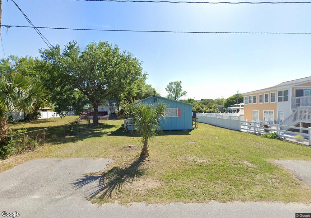
139 Hawes Dr Unit WITHIN 1 BLOCK OF BE Murrells Inlet, SC 29576
Estimated Value: $530,154 - $624,000
2
Beds
2
Baths
1,270
Sq Ft
$464/Sq Ft
Est. Value
About This Home
This home is located at 139 Hawes Dr Unit WITHIN 1 BLOCK OF BE, Murrells Inlet, SC 29576 and is currently estimated at $589,289, approximately $464 per square foot. 139 Hawes Dr Unit WITHIN 1 BLOCK OF BE is a home located in Horry County with nearby schools including Seaside Elementary, St. James Intermediate, and St. James Middle School.
Ownership History
Date
Name
Owned For
Owner Type
Purchase Details
Closed on
Dec 17, 2020
Sold by
Rogers Robert C
Bought by
Rogers Debra Kaye and Hucks Carol Ann
Current Estimated Value
Purchase Details
Closed on
Jul 2, 2020
Sold by
Rogers Margaret Faye
Bought by
Rogers Robert C
Purchase Details
Closed on
Jul 15, 2014
Sold by
Estate Of Juliette Rogers Owens
Bought by
Owens David H
Create a Home Valuation Report for This Property
The Home Valuation Report is an in-depth analysis detailing your home's value as well as a comparison with similar homes in the area
Home Values in the Area
Average Home Value in this Area
Purchase History
| Date | Buyer | Sale Price | Title Company |
|---|---|---|---|
| Rogers Debra Kaye | -- | -- | |
| Rogers Robert C | -- | -- | |
| Owens David H | -- | -- |
Source: Public Records
Tax History Compared to Growth
Tax History
| Year | Tax Paid | Tax Assessment Tax Assessment Total Assessment is a certain percentage of the fair market value that is determined by local assessors to be the total taxable value of land and additions on the property. | Land | Improvement |
|---|---|---|---|---|
| 2024 | $3,802 | $34,021 | $30,444 | $3,577 |
| 2023 | $3,802 | $15,570 | $13,500 | $2,070 |
| 2021 | $3,266 | $15,570 | $13,500 | $2,070 |
| 2020 | $2,544 | $12,590 | $9,848 | $2,742 |
| 2019 | $2,544 | $12,590 | $9,848 | $2,742 |
| 2018 | $0 | $12,044 | $9,848 | $2,196 |
| 2017 | $2,504 | $12,044 | $9,848 | $2,196 |
| 2016 | -- | $12,044 | $9,848 | $2,196 |
| 2015 | $2,504 | $12,045 | $9,849 | $2,196 |
| 2014 | $2,103 | $12,045 | $9,849 | $2,196 |
Source: Public Records
Map
Nearby Homes
- 1521 N Waccamaw Dr Unit Summerwinds
- 1514 N Waccamaw Dr Unit 204
- 1620 N Waccamaw Dr Unit 711 Surfmaster II
- 1620 N Waccamaw Dr Unit 1209 Surfmaster II
- 105-A-B Woodland Dr
- 105 Woodland Dr Unit B
- 105 Woodland Dr Unit A
- 1687 Mason Cir
- 1425 N Waccamaw Dr Unit 125
- 1425 N Waccamaw Dr Unit 123
- 1690 N Waccamaw Dr Unit 908
- 1690 N Waccamaw Dr Unit 1008
- 1690 N Waccamaw Dr Unit 1005 Surfmaster
- 1690 N Waccamaw Dr Unit 502 Surfmaster I
- 1690 N Waccamaw Dr Unit 504
- 1690 N Waccamaw Dr Unit 103
- 1690 N Waccamaw Dr Unit 201 Surfmaster I
- 1506 Mason Cir
- 1656 Mason Cir
- 108 Tidal Creek Dr
- 139 Hawes Dr
- 139 Hawes Dr Unit LESS THAN 1 BLOCK FR
- 143 Hawes Dr
- 131 Hawes Dr
- 127 Hawes Dr
- 1686 Mason Cir
- 1692 Mason Cir
- 1680 Mason Cir
- 1531 Dogwood Dr N
- 1527 Dogwood Dr N
- 1533 Dogwood Dr N
- 186 Woodland Dr
- 1523N Dogwood Dr N
- 1674 Mason Cir
- 126 Woodland Dr Unit FETTI'S
- 126A Woodland Dr Unit KNOT PAUL'S
- 126 Woodland Dr
- 126 Woodland Dr Unit FETTI'S
- 126 Woodland Dr
- 1535 Dogwood Dr N