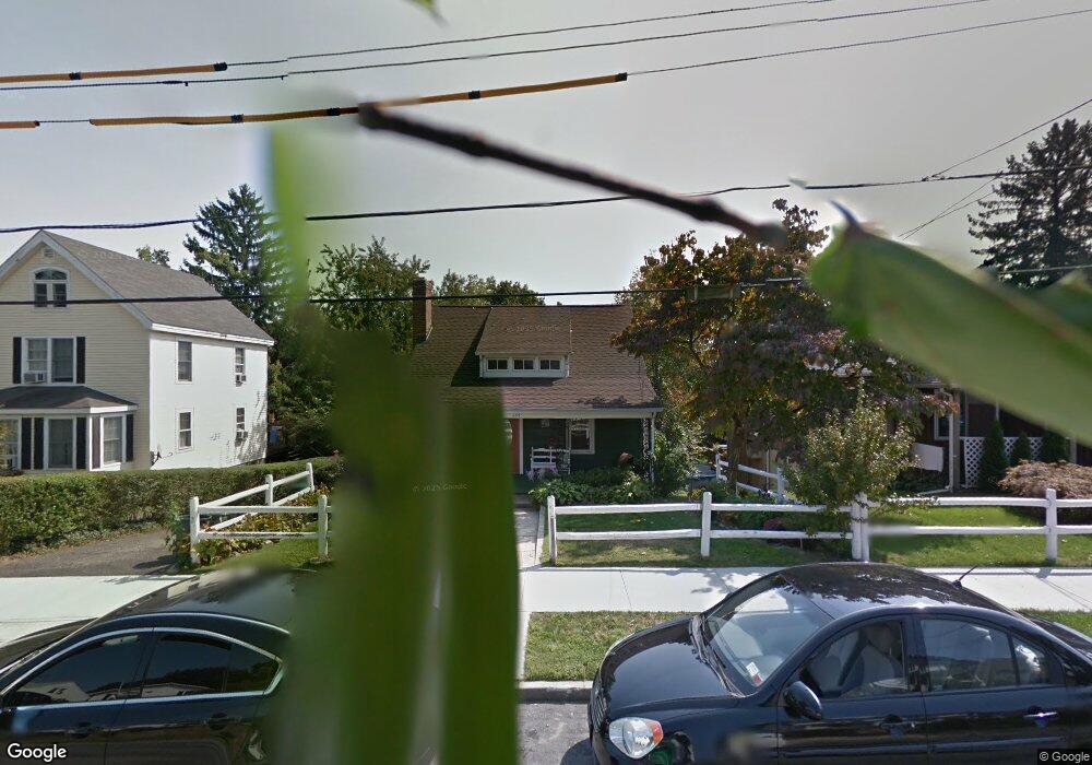
139 Hobart Ave Port Chester, NY 10573
Estimated Value: $618,000 - $688,000
3
Beds
2
Baths
1,296
Sq Ft
$513/Sq Ft
Est. Value
About This Home
This home is located at 139 Hobart Ave, Port Chester, NY 10573 and is currently estimated at $664,247, approximately $512 per square foot. 139 Hobart Ave is a home located in Westchester County with nearby schools including Port Chester Middle School, Port Chester Senior High School, and Westchester Fairfield Hebrew A.
Ownership History
Date
Name
Owned For
Owner Type
Purchase Details
Closed on
Nov 29, 2000
Sold by
Decarlo Joseph F and Decarlo Viola
Bought by
Castaneda Sergio J and Castaneda Alexandra
Current Estimated Value
Home Financials for this Owner
Home Financials are based on the most recent Mortgage that was taken out on this home.
Original Mortgage
$237,500
Outstanding Balance
$87,458
Interest Rate
7.69%
Mortgage Type
Unknown
Estimated Equity
$576,789
Create a Home Valuation Report for This Property
The Home Valuation Report is an in-depth analysis detailing your home's value as well as a comparison with similar homes in the area
Home Values in the Area
Average Home Value in this Area
Purchase History
| Date | Buyer | Sale Price | Title Company |
|---|---|---|---|
| Castaneda Sergio J | $250,000 | -- |
Source: Public Records
Mortgage History
| Date | Status | Borrower | Loan Amount |
|---|---|---|---|
| Open | Castaneda Sergio J | $237,500 |
Source: Public Records
Tax History Compared to Growth
Tax History
| Year | Tax Paid | Tax Assessment Tax Assessment Total Assessment is a certain percentage of the fair market value that is determined by local assessors to be the total taxable value of land and additions on the property. | Land | Improvement |
|---|---|---|---|---|
| 2024 | $11,188 | $530,500 | $202,100 | $328,400 |
| 2023 | $10,335 | $510,100 | $192,500 | $317,600 |
| 2022 | $10,119 | $472,300 | $192,500 | $279,800 |
| 2021 | $10,654 | $449,800 | $192,500 | $257,300 |
| 2020 | $11,238 | $449,800 | $192,500 | $257,300 |
| 2019 | $13,244 | $430,500 | $178,500 | $252,000 |
| 2018 | $8,094 | $432,900 | $175,300 | $257,600 |
| 2017 | $1,819 | $425,600 | $173,700 | $251,900 |
| 2016 | $10,098 | $413,200 | $172,600 | $240,600 |
| 2015 | -- | $407,700 | $176,200 | $231,500 |
| 2014 | -- | $397,300 | $159,800 | $237,500 |
| 2013 | -- | $401,600 | $154,900 | $246,700 |
Source: Public Records
Map
Nearby Homes
- 28 1/2 Pilgrim Dr
- 238 Madison Ave
- 38 Riverdale Ave
- 17 Austin Place
- 567 King St
- 563 King St
- 565 King St
- 531 1/2 Willett Ave
- 107 Pemberwick Rd
- 53 Linden St
- 3 Green Ln
- 70 Byram Terrace Dr
- 180 Madison Ave
- 53 Upland St
- 340 Locust Ave
- 263 N Regent St
- 41 Chapel St
- 40 Moshier St
- 106 Puritan Dr
- 8 Reynolds Place
- 135 Hobart Ave
- 145 Hobart Ave
- 131 Hobart Ave
- 147 Hobart Ave
- 127 Hobart Ave
- 67 Halstead Ave
- 151 Hobart Ave
- 63 Halstead Ave
- 71 Halstead Ave
- 61 Halstead Ave
- 73 Halstead Ave
- 123 Hobart Ave
- 155 Hobart Ave
- 140 Hobart Ave
- 55 Halstead Ave
- 136 Hobart Ave
- 75 Halstead Ave
- 144 Hobart Ave
- 132 Hobart Ave
- 148 Hobart Ave