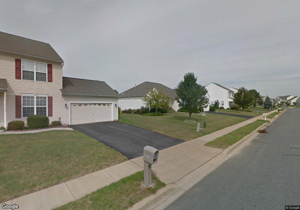
139 Lakeside Dr Middletown, DE 19709
Estimated Value: $445,832 - $527,000
3
Beds
2
Baths
1,698
Sq Ft
$285/Sq Ft
Est. Value
About This Home
This home is located at 139 Lakeside Dr, Middletown, DE 19709 and is currently estimated at $484,708, approximately $285 per square foot. 139 Lakeside Dr is a home located in New Castle County with nearby schools including Silver Lake Elementary School, Everett Meredith Middle School, and Middletown High School.
Ownership History
Date
Name
Owned For
Owner Type
Purchase Details
Closed on
Aug 23, 2001
Sold by
Lakeside Development Corp
Bought by
Menzen Otto E and Menzen Donna M
Current Estimated Value
Home Financials for this Owner
Home Financials are based on the most recent Mortgage that was taken out on this home.
Original Mortgage
$100,000
Outstanding Balance
$38,557
Interest Rate
6.99%
Mortgage Type
Stand Alone First
Estimated Equity
$446,151
Purchase Details
Closed on
Mar 8, 2001
Sold by
Green Richard M and Green John H
Bought by
Lakeside Development Corp
Create a Home Valuation Report for This Property
The Home Valuation Report is an in-depth analysis detailing your home's value as well as a comparison with similar homes in the area
Home Values in the Area
Average Home Value in this Area
Purchase History
| Date | Buyer | Sale Price | Title Company |
|---|---|---|---|
| Menzen Otto E | $186,250 | -- | |
| Lakeside Development Corp | $832,500 | -- |
Source: Public Records
Mortgage History
| Date | Status | Borrower | Loan Amount |
|---|---|---|---|
| Open | Menzen Otto E | $100,000 |
Source: Public Records
Tax History
| Year | Tax Paid | Tax Assessment Tax Assessment Total Assessment is a certain percentage of the fair market value that is determined by local assessors to be the total taxable value of land and additions on the property. | Land | Improvement |
|---|---|---|---|---|
| 2024 | $1,478 | $87,300 | $12,500 | $74,800 |
| 2023 | $1,148 | $87,300 | $12,500 | $74,800 |
| 2022 | $1,143 | $87,300 | $12,500 | $74,800 |
| 2021 | $1,209 | $87,300 | $12,500 | $74,800 |
| 2020 | $1,189 | $87,300 | $12,500 | $74,800 |
| 2019 | $1,062 | $87,300 | $12,500 | $74,800 |
| 2018 | $1,005 | $87,300 | $12,500 | $74,800 |
| 2017 | $954 | $87,300 | $12,500 | $74,800 |
| 2016 | $711 | $87,300 | $12,500 | $74,800 |
| 2015 | -- | $87,300 | $12,500 | $74,800 |
| 2014 | $678 | $87,300 | $12,500 | $74,800 |
Source: Public Records
Map
Nearby Homes
- 40 S Cummings Dr
- 248 Emily Way
- 908 S Cass St
- 236 E Main St
- 12 E Cochran St
- 11 W Hoffecker St
- 129 E Main St
- 8 Redding Cir
- 113 Crawford St
- 45 Deep Branch Dr
- 14 W Lake St
- 102 Witherspoon Way
- 3002 Blackston Dr
- 104 Witherspoon Way
- 11 E Lockwood St
- 106 Witherspoon Way
- 3001 Blackston Dr
- 108 Witherspoon Way
- 659 Warren Dr
- 3008 Blackston Dr
- 141 Lakeside Dr
- 137 Lakeside Dr
- 315 Greenway Ct
- 143 Lakeside Dr
- 133 Lakeside Dr
- 140 Lakeside Dr
- 138 Lakeside Dr
- 313 Greenway Ct
- 316 Greenway Ct
- 140 Laks Dr
- 129 Lakeside Dr
- 142 Lakeside Dr
- 147 Lakeside Dr
- 136 Lakeside Dr
- 127 Lakeside Dr
- 134 Lakeside Dr
- 311 Greenway Ct
- 144 Lakeside Dr
- 48 Silver Lake Dr
- 151 Lakeside Dr
Your Personal Tour Guide
Ask me questions while you tour the home.