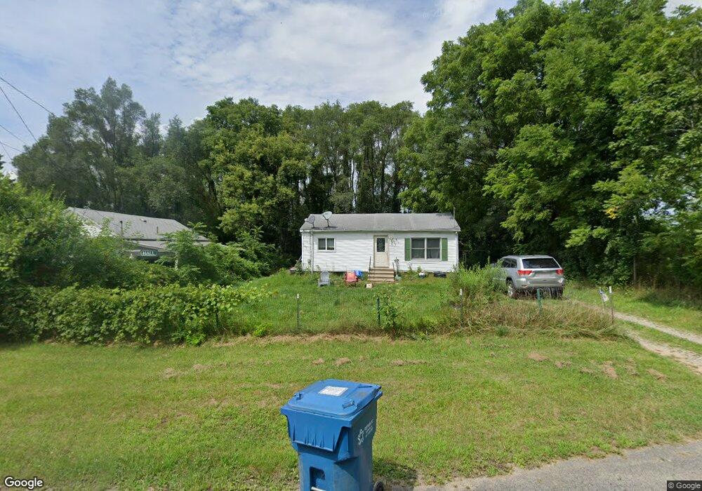
139 Linwood St Albion, MI 49224
Estimated Value: $91,000 - $130,000
2
Beds
1
Bath
640
Sq Ft
$172/Sq Ft
Est. Value
About This Home
This home is located at 139 Linwood St, Albion, MI 49224 and is currently estimated at $109,908, approximately $171 per square foot. 139 Linwood St is a home located in Calhoun County with nearby schools including Harrington Elementary School, St. John School, and Montcalm School.
Ownership History
Date
Name
Owned For
Owner Type
Purchase Details
Closed on
Jan 7, 2008
Sold by
Lasalle Bank Na
Bought by
Hall Paul W and Hall Jane A
Current Estimated Value
Purchase Details
Closed on
Jan 5, 2007
Sold by
Johnson Tammy L
Bought by
Lasalle Bank Na and Lehman Brothers Structured Asset Investm
Purchase Details
Closed on
Dec 3, 2004
Sold by
Hamblin Darlene
Bought by
Johnson Tammy L
Home Financials for this Owner
Home Financials are based on the most recent Mortgage that was taken out on this home.
Original Mortgage
$47,500
Interest Rate
8.5%
Mortgage Type
Purchase Money Mortgage
Create a Home Valuation Report for This Property
The Home Valuation Report is an in-depth analysis detailing your home's value as well as a comparison with similar homes in the area
Home Values in the Area
Average Home Value in this Area
Purchase History
| Date | Buyer | Sale Price | Title Company |
|---|---|---|---|
| Hall Paul W | $12,500 | Prism Title & Closing Servic | |
| Lasalle Bank Na | $50,839 | None Available | |
| Johnson Tammy L | $50,000 | -- |
Source: Public Records
Mortgage History
| Date | Status | Borrower | Loan Amount |
|---|---|---|---|
| Previous Owner | Johnson Tammy L | $47,500 |
Source: Public Records
Tax History Compared to Growth
Tax History
| Year | Tax Paid | Tax Assessment Tax Assessment Total Assessment is a certain percentage of the fair market value that is determined by local assessors to be the total taxable value of land and additions on the property. | Land | Improvement |
|---|---|---|---|---|
| 2025 | $1,098 | $40,300 | $0 | $0 |
| 2024 | $245 | $41,200 | $0 | $0 |
| 2023 | $968 | $38,400 | $0 | $0 |
| 2022 | $222 | $27,100 | $0 | $0 |
| 2021 | $968 | $24,100 | $0 | $0 |
| 2020 | $755 | $25,600 | $0 | $0 |
| 2019 | $0 | $24,500 | $0 | $0 |
| 2018 | $0 | $21,600 | $1,100 | $20,500 |
| 2017 | $0 | $22,900 | $0 | $0 |
| 2016 | $0 | $20,400 | $0 | $0 |
| 2015 | -- | $19,900 | $2,456 | $17,444 |
| 2014 | -- | $18,500 | $2,456 | $16,044 |
Source: Public Records
Map
Nearby Homes
- 901 Barnes St
- 505 Fitch St
- 310 Fitch St
- 1213 Fitch St
- 410 Bidwell St
- 0 V L E Michigan Ave
- 813 Prospect St
- 211 E Mulberry St
- 116 E Mulberry St
- 112 E Mulberry St
- 956 29 1 2 Mile Rd
- 116 W Vine St
- 16912 W Michigan Ave
- 915 N Clinton St
- 206 W North St
- 404 N Superior St
- 117 E Walnut St
- 711 N Eaton St
- 1337 N Eaton St
- 208 E Oak St
- 137 Linwood St
- 133 Linwood St
- 136 Corner of Linwood
- 138 Linwood St
- 100 Columbus Ct
- 1310 Franklin St
- 125 Linwood St
- 118 Linwood St
- 1308 Franklin St
- 103 Columbus Ct
- 1306 Franklin St
- 157 Woodlawn St
- 113 Linwood St
- 116 Linwood St
- 11 Sunnyside Ct
- 113 Linwood Ave
- 10 Sunnyside Ct
- 12 Sunnyside Ct
- 1304 Franklin St
- 155 Woodlawn St