139 Millstone Way Monroeville, NJ 08343
Elk Township NeighborhoodEstimated Value: $581,000 - $690,000
--
Bed
--
Bath
3,128
Sq Ft
$197/Sq Ft
Est. Value
About This Home
This home is located at 139 Millstone Way, Monroeville, NJ 08343 and is currently estimated at $616,231, approximately $197 per square foot. 139 Millstone Way is a home located in Gloucester County with nearby schools including Aura Elementary School, Delsea Regional Middle School, and Delsea Regional High School.
Ownership History
Date
Name
Owned For
Owner Type
Purchase Details
Closed on
Jan 23, 2004
Sold by
Paparone At Hampton Hills Llc
Bought by
Griffith David C and Griffith Susan S
Current Estimated Value
Home Financials for this Owner
Home Financials are based on the most recent Mortgage that was taken out on this home.
Original Mortgage
$140,274
Interest Rate
5.82%
Mortgage Type
Purchase Money Mortgage
Create a Home Valuation Report for This Property
The Home Valuation Report is an in-depth analysis detailing your home's value as well as a comparison with similar homes in the area
Home Values in the Area
Average Home Value in this Area
Purchase History
| Date | Buyer | Sale Price | Title Company |
|---|---|---|---|
| Griffith David C | $326,423 | American Title Abstract |
Source: Public Records
Mortgage History
| Date | Status | Borrower | Loan Amount |
|---|---|---|---|
| Closed | Griffith David C | $140,274 |
Source: Public Records
Tax History Compared to Growth
Tax History
| Year | Tax Paid | Tax Assessment Tax Assessment Total Assessment is a certain percentage of the fair market value that is determined by local assessors to be the total taxable value of land and additions on the property. | Land | Improvement |
|---|---|---|---|---|
| 2025 | $12,644 | $351,700 | $78,300 | $273,400 |
| 2024 | $12,763 | $351,700 | $78,300 | $273,400 |
| 2023 | $12,763 | $351,700 | $78,300 | $273,400 |
| 2022 | $12,918 | $351,700 | $78,300 | $273,400 |
| 2021 | $13,073 | $351,700 | $78,300 | $273,400 |
| 2020 | $12,946 | $351,700 | $78,300 | $273,400 |
| 2019 | $12,545 | $351,700 | $78,300 | $273,400 |
| 2018 | $12,313 | $351,700 | $78,300 | $273,400 |
| 2017 | $11,972 | $351,700 | $78,300 | $273,400 |
| 2016 | $11,852 | $351,700 | $78,300 | $273,400 |
| 2015 | $11,511 | $351,700 | $78,300 | $273,400 |
| 2014 | $10,984 | $351,700 | $78,300 | $273,400 |
Source: Public Records
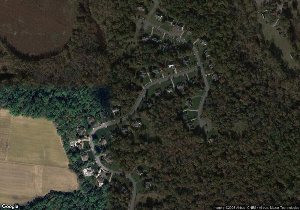
Map
Nearby Homes
- 107 Millstone Way
- 337 Ewan Rd
- 537 Clems Run
- 503 Bridgeton Pike
- 699 Clems Run
- 735 New Jersey 77
- 244 Iris Rd
- 4 Fawn Hollow Ln
- 0 Harrisonville Rd Unit NJGL2065976
- 305 Fislerville Rd
- B. 17 L.6&7.01 Richwood Rd
- 317 Sturgess Ct
- 140 Weatherby Ln
- 7 Deer Haven Dr
- 104 Smortz Ln
- 994 Lincoln Rd
- 361 Grande Blvd
- 793 Clems Run
- 107 Whitall Rd
- 113 Summit St
- 141 Millstone Way
- 135 Millstone Way
- 143 Millstone Way
- 136 Millstone Way
- 132 Millstone Way
- 133 Millstone Way
- 140 Millstone Way
- 224 Grindstone Ct
- 145 Millstone Way
- 222 Grindstone Ct
- 142 Millstone Way
- 144 Millstone Way
- 130 Millstone Way
- 147 Millstone Way
- 226 Grindstone Ct
- 216 Grindstone Ct
- 123 Millstone Way
- 128 Millstone Way
- 212 Grindstone Ct
- 115 Millstone Way