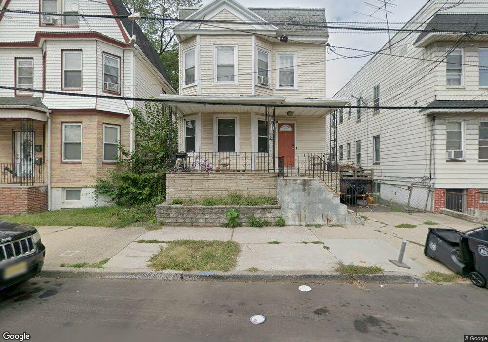
139 Palm St Unit 137 Newark, NJ 07106
Upper Vailsburg NeighborhoodEstimated Value: $380,435 - $521,000
--
Bed
--
Bath
1,594
Sq Ft
$288/Sq Ft
Est. Value
About This Home
This home is located at 139 Palm St Unit 137, Newark, NJ 07106 and is currently estimated at $458,359, approximately $287 per square foot. 139 Palm St Unit 137 is a home located in Essex County with nearby schools including Lincoln Elementary School, Mt. Vernon School, and Hawthorne Avenue Elementary School.
Ownership History
Date
Name
Owned For
Owner Type
Purchase Details
Closed on
Nov 30, 2017
Sold by
Portee Clara Est
Bought by
Smith Jarron A
Current Estimated Value
Purchase Details
Closed on
Aug 29, 1994
Sold by
Massey Eugene
Bought by
Washington Isiah
Home Financials for this Owner
Home Financials are based on the most recent Mortgage that was taken out on this home.
Original Mortgage
$103,000
Interest Rate
8.38%
Mortgage Type
FHA
Purchase Details
Closed on
Jun 14, 1983
Bought by
Portee James and Portee Clara M
Create a Home Valuation Report for This Property
The Home Valuation Report is an in-depth analysis detailing your home's value as well as a comparison with similar homes in the area
Home Values in the Area
Average Home Value in this Area
Purchase History
| Date | Buyer | Sale Price | Title Company |
|---|---|---|---|
| Smith Jarron A | $209,000 | -- | |
| Washington Isiah | $103,000 | -- | |
| Portee James | $51,500 | -- |
Source: Public Records
Mortgage History
| Date | Status | Borrower | Loan Amount |
|---|---|---|---|
| Previous Owner | Washington Isiah | $103,000 |
Source: Public Records
Tax History Compared to Growth
Tax History
| Year | Tax Paid | Tax Assessment Tax Assessment Total Assessment is a certain percentage of the fair market value that is determined by local assessors to be the total taxable value of land and additions on the property. | Land | Improvement |
|---|---|---|---|---|
| 2025 | $4,615 | $123,800 | $17,500 | $106,300 |
| 2024 | $4,615 | $123,800 | $17,500 | $106,300 |
| 2022 | $4,625 | $123,800 | $17,500 | $106,300 |
| 2021 | $4,623 | $123,800 | $17,500 | $106,300 |
| 2020 | $4,704 | $123,800 | $17,500 | $106,300 |
| 2019 | $4,656 | $123,800 | $17,500 | $106,300 |
| 2018 | $4,572 | $123,800 | $17,500 | $106,300 |
| 2017 | $4,407 | $123,800 | $17,500 | $106,300 |
| 2016 | $4,259 | $123,800 | $17,500 | $106,300 |
| 2015 | $4,097 | $123,800 | $17,500 | $106,300 |
| 2014 | $3,839 | $123,800 | $17,500 | $106,300 |
Source: Public Records
Map
Nearby Homes
- 82 Palm St
- 85 Smith St
- 362 Sanford Ave
- 207 Tremont Ave
- 106 Halstead St Unit 110
- 95 Crawford St
- 510 Halsted St
- 491 Norwood St
- 335 Tremont Ave
- 50 Halstead St
- 31 Halstead St
- 32 Palm St
- 499 S Clinton St
- 434 Halsted St Unit 8
- 149 Smith St
- 312 Rhode Island Ave
- 552 Norwood St
- 375 Amherst St
- 233 Rhode Island Ave
- 137-139 Palm St
- 137 Palm St
- 135 Palm St
- 141 Palm St Unit 143
- 142-144 Palm St
- 134 Bedford St
- 145 Palm St
- 129 Palm St Unit 131
- 138 Palm St
- 134 Palm St
- 134 Palm St Unit 2
- 140 Palm St
- 142 Palm St Unit 144
- 127 Palm St
- 143 Bedford St
- 130 Palm St Unit 132
- 304 Sanford Ave
- 302 Sanford Ave
- 310 Sanford Ave Unit 312
- 306 Sanford Ave