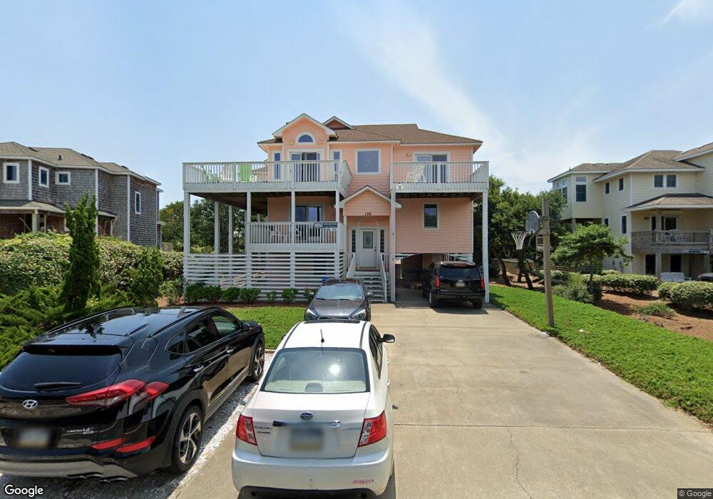
139 Plover Dr Unit 20 Kitty Hawk, NC 27949
Estimated Value: $1,348,000 - $1,496,000
6
Beds
8
Baths
3,067
Sq Ft
$460/Sq Ft
Est. Value
About This Home
This home is located at 139 Plover Dr Unit 20, Kitty Hawk, NC 27949 and is currently estimated at $1,411,546, approximately $460 per square foot. 139 Plover Dr Unit 20 is a home located in Dare County with nearby schools including Kitty Hawk Elementary School, First Flight Middle School, and First Flight High School.
Ownership History
Date
Name
Owned For
Owner Type
Purchase Details
Closed on
May 14, 2010
Sold by
Wiss Theodore F
Bought by
Masciangelo P A and Masciangelo K
Current Estimated Value
Home Financials for this Owner
Home Financials are based on the most recent Mortgage that was taken out on this home.
Original Mortgage
$400,000
Outstanding Balance
$267,204
Interest Rate
5.06%
Mortgage Type
New Conventional
Estimated Equity
$1,144,342
Create a Home Valuation Report for This Property
The Home Valuation Report is an in-depth analysis detailing your home's value as well as a comparison with similar homes in the area
Home Values in the Area
Average Home Value in this Area
Purchase History
| Date | Buyer | Sale Price | Title Company |
|---|---|---|---|
| Masciangelo P A | $725,000 | None Available |
Source: Public Records
Mortgage History
| Date | Status | Borrower | Loan Amount |
|---|---|---|---|
| Open | Masciangelo P A | $400,000 |
Source: Public Records
Tax History Compared to Growth
Tax History
| Year | Tax Paid | Tax Assessment Tax Assessment Total Assessment is a certain percentage of the fair market value that is determined by local assessors to be the total taxable value of land and additions on the property. | Land | Improvement |
|---|---|---|---|---|
| 2025 | $5,975 | $1,318,200 | $517,500 | $800,700 |
| 2024 | $4,766 | $715,300 | $281,300 | $434,000 |
| 2023 | $4,546 | $732,660 | $281,300 | $451,360 |
| 2022 | $4,546 | $732,660 | $281,300 | $451,360 |
| 2021 | $4,546 | $732,660 | $281,300 | $451,360 |
| 2020 | $4,373 | $732,660 | $281,300 | $451,360 |
| 2019 | $5,100 | $712,600 | $287,000 | $425,600 |
| 2018 | $5,100 | $712,600 | $287,000 | $425,600 |
| 2017 | $4,990 | $712,600 | $287,000 | $425,600 |
| 2016 | $4,697 | $712,600 | $287,000 | $425,600 |
| 2014 | $4,678 | $709,800 | $287,000 | $422,800 |
Source: Public Records
Map
Nearby Homes
- 123 Georgetown Sands Rd Unit 24
- 123 Georgetown Rd Unit 19
- 102 Sea Hawk Dr E Unit Lot 19
- 134 Four Seasons Ln Unit 81
- 101 Georgetown Sands Rd Unit 47
- 101 Settlers Ln Unit 6
- 180 Ocean Way Ct Unit Lot 28
- 102 Plover Dr Unit Lot 8
- 120 Tuckahoe Dr W Unit 75
- 104 W Bias Dr Unit Lot 20
- 102 Settlers Ln Unit Lot 7R
- 134 Scarborough Ln Unit 50
- 105 Beachcomber Ct Unit Lot 116
- 131 Brandon Ct Unit Lot 35
- 119 Osprey Ridge Rd Unit Lot 11
- 124 Jay Crest Rd Unit 6
- 127 Charles Jenkins Ln W Unit Lot 4
- 126 Jay Crest Rd Unit 3
- 45 N Dune Loop Unit Lot 55
- 112 Christopher Dr Unit 51
- 139 Plover Dr
- 141 Plover Dr
- 137 Plover Dr Unit 19
- 137 Plover Dr
- 143 Plover Dr
- 135 Plover Dr Unit 18
- 135 Plover Dr
- 132 Plover Dr Unit 23
- 132 Plover Dr
- 123 Georgetown Sands Rd Unit 19
- 123 Georgetown Sands Rd Unit 20
- 123 Georgetown Sands Rd Unit 22
- 130 Plover Dr
- 145 Plover Dr
- 133 Plover Dr Unit 17
- 133 Plover Dr
- 123 Georgetown Rd
- 23 Georgetown Sands Rd Unit 23
- 123 Georgetown Rd Unit 24
- 123 Georgetown Rd Unit 23