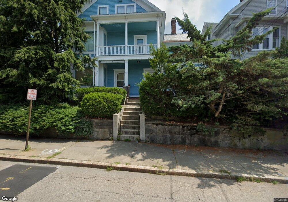
139 Rathbun St Woonsocket, RI 02895
Social District NeighborhoodEstimated Value: $324,720 - $728,000
6
Beds
4
Baths
3,332
Sq Ft
$151/Sq Ft
Est. Value
About This Home
This home is located at 139 Rathbun St, Woonsocket, RI 02895 and is currently estimated at $504,180, approximately $151 per square foot. 139 Rathbun St is a home located in Providence County with nearby schools including Woonsocket High School, Rise Prep Mayoral Academy Middle School, and Rise Prep Mayoral Academy.
Ownership History
Date
Name
Owned For
Owner Type
Purchase Details
Closed on
Jun 27, 1995
Sold by
Fleurant Dora M Est
Bought by
Emily Calhoun William and Emily Liskee
Current Estimated Value
Home Financials for this Owner
Home Financials are based on the most recent Mortgage that was taken out on this home.
Original Mortgage
$76,950
Interest Rate
7.82%
Mortgage Type
Purchase Money Mortgage
Create a Home Valuation Report for This Property
The Home Valuation Report is an in-depth analysis detailing your home's value as well as a comparison with similar homes in the area
Home Values in the Area
Average Home Value in this Area
Purchase History
| Date | Buyer | Sale Price | Title Company |
|---|---|---|---|
| Emily Calhoun William | $81,000 | -- | |
| Calhoun William | $81,000 | -- |
Source: Public Records
Mortgage History
| Date | Status | Borrower | Loan Amount |
|---|---|---|---|
| Open | Calhoun William | $180,000 | |
| Closed | Calhoun William | $76,950 |
Source: Public Records
Tax History Compared to Growth
Tax History
| Year | Tax Paid | Tax Assessment Tax Assessment Total Assessment is a certain percentage of the fair market value that is determined by local assessors to be the total taxable value of land and additions on the property. | Land | Improvement |
|---|---|---|---|---|
| 2024 | $4,135 | $284,400 | $85,100 | $199,300 |
| 2023 | $3,976 | $284,400 | $85,100 | $199,300 |
| 2022 | $3,976 | $284,400 | $85,100 | $199,300 |
| 2021 | $3,536 | $148,900 | $34,300 | $114,600 |
| 2020 | $3,574 | $148,900 | $34,300 | $114,600 |
| 2018 | $3,586 | $148,900 | $34,300 | $114,600 |
| 2017 | $3,690 | $122,600 | $38,000 | $84,600 |
| 2016 | $3,904 | $122,600 | $38,000 | $84,600 |
| 2015 | $4,485 | $122,600 | $38,000 | $84,600 |
| 2014 | $4,324 | $120,300 | $41,800 | $78,500 |
Source: Public Records
Map
Nearby Homes
- 60 Rathbun St
- 752 Social St
- 685 Social St Unit 308
- 685 Social St Unit 215
- 84 Chester St
- 96 E Mill St
- 283 Privilege St Unit 6
- 40 Burnside Ave
- 108 Mill St Unit 202
- 263 Elm St
- 0 E School St
- 321 Dulude Ave
- 311 Elm St
- 203 Dulude Ave
- 133 E School St
- 56 Mailloux St
- 13 Ethel St
- 64 Harrison Ave
- 58 Harrison Ave
- 437 N Main St
- 125 Rathbun St Unit 129
- 604 E School St
- 606 E School St
- 155 Rathbun St
- 157 Rathbun St
- 134 Rathbun St
- 146 Rathbun St
- 154 Rathbun St
- 158 Rathbun St
- 558 E School St
- 95 Rathbun St
- 167 Rathbun St Unit 169
- 18 Oak Hill Ave
- 37 Chester St
- 102 Rathbun St
- 33 Chester St Unit 3F
- 33 Chester St
- 552 E School St
- 191 Rathbun St
- 79 Rathbun St