139 Spring Run Rd Adrian, PA 16210
Estimated Value: $60,000 - $177,000
3
Beds
1
Bath
1,880
Sq Ft
$55/Sq Ft
Est. Value
About This Home
This home is located at 139 Spring Run Rd, Adrian, PA 16210 and is currently estimated at $103,497, approximately $55 per square foot. 139 Spring Run Rd is a home located in Armstrong County with nearby schools including West Hills Intermediate School and West Hills Primary School.
Ownership History
Date
Name
Owned For
Owner Type
Purchase Details
Closed on
Oct 29, 2016
Sold by
Everetts Robert G and Everetts Tara R
Bought by
Everetts Earl C and Everetts Patricia L
Current Estimated Value
Purchase Details
Closed on
Jul 19, 2016
Sold by
Matson Charles and Matson Raina
Bought by
Gauker Thomas and Gauker Amanda
Purchase Details
Closed on
Oct 18, 2004
Bought by
Matson Charles and Matson Raina
Create a Home Valuation Report for This Property
The Home Valuation Report is an in-depth analysis detailing your home's value as well as a comparison with similar homes in the area
Home Values in the Area
Average Home Value in this Area
Purchase History
| Date | Buyer | Sale Price | Title Company |
|---|---|---|---|
| Everetts Earl C | -- | None Available | |
| Gauker Thomas | $30,000 | None Available | |
| Matson Charles | -- | -- |
Source: Public Records
Tax History
| Year | Tax Paid | Tax Assessment Tax Assessment Total Assessment is a certain percentage of the fair market value that is determined by local assessors to be the total taxable value of land and additions on the property. | Land | Improvement |
|---|---|---|---|---|
| 2025 | $1,638 | $19,060 | $13,030 | $6,030 |
| 2024 | $1,543 | $19,060 | $13,030 | $6,030 |
| 2023 | $1,507 | $19,060 | $13,030 | $6,030 |
| 2022 | $1,507 | $19,060 | $13,030 | $6,030 |
| 2021 | $1,507 | $19,060 | $13,030 | $6,030 |
| 2020 | $1,507 | $19,060 | $13,030 | $6,030 |
| 2019 | $1,507 | $19,060 | $13,030 | $6,030 |
| 2018 | $1,505 | $18,615 | $10,000 | $8,615 |
| 2017 | $1,494 | $19,060 | $13,030 | $6,030 |
| 2016 | $1,494 | $19,060 | $13,030 | $6,030 |
| 2015 | $1,331 | $19,060 | $13,030 | $6,030 |
| 2014 | $1,331 | $19,060 | $13,030 | $6,030 |
Source: Public Records
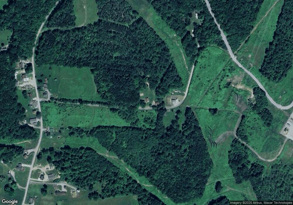
Map
Nearby Homes
- 318 Clay Ave
- 231 Stone Ave
- 612 State Route 1031
- 714 Stewartson Rd
- 712 Stewartson Rd
- 0 Silver Rock Rd
- Spot Rd
- 455 Adrian Sherrett Rd
- 348 Hollow Rd
- 1405 Madison Rd
- 1028 State Route 268
- 865 E Brady Rd
- 1594 Johnston Ave
- 464 State Route 1027
- 1411 Orr Ave Unit 1413
- 1408 Orr Ave
- 1402 N Grant Ave
- 223 Cedar Dr
- 302 Neubert St
- 336 Walkchalk Rd
- 153 Spring Run Rd
- 105 Spring Run Rd
- 248 Old Reesedale Rd
- 232 Old Reesedale Rd
- 241 Old Reesedale Rd
- 237 Old Reesedale Rd
- 247 Old Reesedale Rd
- 210 Old Reesedale Rd
- 255 Old Reesedale Rd
- 259 Old Reesedale Rd
- 225 Old Reesedale Rd
- 220 Old Reesedale Rd
- 219 Old Reesedale Rd
- 206 Old Reesedale Rd
- 200 Old Reesedale Rd
- 486 Johns Rd
- 321 Old Reesedale Rd
- 324 Old Reesedale Rd
- 509 Johns Rd
- 199 Old Reesedale Rd
Your Personal Tour Guide
Ask me questions while you tour the home.