139 Thundermist Rd Bar Harbor, ME 04609
Estimated Value: $835,000 - $1,293,000
3
Beds
3
Baths
3,249
Sq Ft
$345/Sq Ft
Est. Value
About This Home
This home is located at 139 Thundermist Rd, Bar Harbor, ME 04609 and is currently estimated at $1,119,909, approximately $344 per square foot. 139 Thundermist Rd is a home with nearby schools including Conners-Emerson School and Mt. Desert Island High School.
Ownership History
Date
Name
Owned For
Owner Type
Purchase Details
Closed on
Dec 15, 2005
Sold by
Richardson Peggy A
Bought by
Peggy A M Richardson T
Current Estimated Value
Create a Home Valuation Report for This Property
The Home Valuation Report is an in-depth analysis detailing your home's value as well as a comparison with similar homes in the area
Home Values in the Area
Average Home Value in this Area
Purchase History
| Date | Buyer | Sale Price | Title Company |
|---|---|---|---|
| Peggy A M Richardson T | -- | -- |
Source: Public Records
Tax History
| Year | Tax Paid | Tax Assessment Tax Assessment Total Assessment is a certain percentage of the fair market value that is determined by local assessors to be the total taxable value of land and additions on the property. | Land | Improvement |
|---|---|---|---|---|
| 2024 | $10,275 | $1,023,400 | $582,200 | $441,200 |
| 2023 | $8,883 | $1,023,400 | $582,200 | $441,200 |
| 2022 | $8,071 | $866,000 | $492,700 | $373,300 |
| 2021 | $7,667 | $787,200 | $447,800 | $339,400 |
| 2020 | $9,200 | $773,100 | $339,300 | $433,800 |
| 2019 | $9,070 | $765,400 | $335,900 | $429,500 |
| 2018 | $8,848 | $765,400 | $335,900 | $429,500 |
| 2017 | $8,389 | $765,400 | $335,900 | $429,500 |
| 2016 | $9,651 | $899,400 | $470,200 | $429,200 |
| 2015 | $9,565 | $903,200 | $474,000 | $429,200 |
| 2014 | $9,231 | $903,200 | $474,000 | $429,200 |
| 2012 | $8,887 | $903,200 | $474,000 | $429,200 |
Source: Public Records
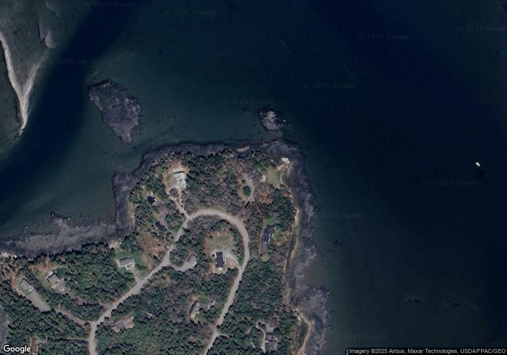
Map
Nearby Homes
- 1427 State Highway 3
- Lot 3 Belle Grande Dr
- Lot 4 Belle Grande Dr
- 37 Grant St
- Lot 79-01 Knox Rd
- 26 Hummingbird Ln
- 38 Indian Point Rd
- 26 Orchard Rd
- 71 Bay View Dr
- 27 M J Ln
- 754 Bar Harbor Rd
- Lot 5 Bar Harbor Rd
- 15 Deer Run
- 24 Berry Cove Rd
- 0 Russell Farm Rd Unit 1653632
- Lot 38 Arrowhead Rd
- M1 L81-11 Asa's Ln
- 118 Old Bar Harbor Rd
- M1 L81-11 Asa's Ln
- 39 Kitteridge Brook Rd
- 143 Thundermist Rd
- 133 Thundermist Rd
- 151 Thundermist Rd
- 128 Thundermist Rd
- 157 Thundermist Rd
- 110 Thundermist Rd
- 167 Thundermist Rd
- 117 Thundermist Rd
- 175 Thundermist Road Lot 8
- 180 Thundermist Rd
- 94 Thundermist Rd
- 181 Thundermist Road Lot 7
- 191 Thundermist Rd
- 95 Thundermist Rd
- 185 Thundermist Rd
- 76 Thundermist Rd
- 0 Thundermist Rd Unit 193120
- 0 Thundermist Rd Unit 201560
- 0 Thundermist Rd Unit 193132
- 0 Thundermist Rd Unit 193123
Your Personal Tour Guide
Ask me questions while you tour the home.