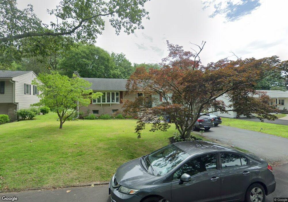
139 Tuttle Dr New Haven, CT 06512
East Shore NeighborhoodEstimated Value: $418,000 - $470,000
4
Beds
7
Baths
1,568
Sq Ft
$286/Sq Ft
Est. Value
About This Home
This home is located at 139 Tuttle Dr, New Haven, CT 06512 and is currently estimated at $447,793, approximately $285 per square foot. 139 Tuttle Dr is a home located in New Haven County with nearby schools including Cold Spring School and Pathway School.
Ownership History
Date
Name
Owned For
Owner Type
Purchase Details
Closed on
Jun 9, 2011
Sold by
Cabiness Dale F
Bought by
Santos-Garner Genita A
Current Estimated Value
Purchase Details
Closed on
Feb 12, 2010
Sold by
Santos-Garner Genita
Bought by
Cabiness Dale
Purchase Details
Closed on
Jun 26, 2009
Sold by
Vecchio Dorothy and Vecchio Michael
Bought by
Santos-Garner Genita
Home Financials for this Owner
Home Financials are based on the most recent Mortgage that was taken out on this home.
Original Mortgage
$204,155
Interest Rate
4.92%
Purchase Details
Closed on
May 27, 2005
Sold by
Cuozzo William A and Cuozzo Margaret M
Bought by
Gociowski Hilda A and Veechin Michael P
Purchase Details
Closed on
Dec 21, 1994
Sold by
Cuozzo William A
Bought by
Cuozzo Margaret M
Create a Home Valuation Report for This Property
The Home Valuation Report is an in-depth analysis detailing your home's value as well as a comparison with similar homes in the area
Home Values in the Area
Average Home Value in this Area
Purchase History
| Date | Buyer | Sale Price | Title Company |
|---|---|---|---|
| Santos-Garner Genita A | -- | -- | |
| Cabiness Dale | -- | -- | |
| Santos-Garner Genita | $214,900 | -- | |
| Gociowski Hilda A | $300,000 | -- | |
| Cuozzo Margaret M | $60,000 | -- |
Source: Public Records
Mortgage History
| Date | Status | Borrower | Loan Amount |
|---|---|---|---|
| Closed | Cuozzo Margaret M | $38,000 | |
| Previous Owner | Cuozzo Margaret M | $204,155 | |
| Previous Owner | Cuozzo Margaret M | $35,350 |
Source: Public Records
Tax History Compared to Growth
Tax History
| Year | Tax Paid | Tax Assessment Tax Assessment Total Assessment is a certain percentage of the fair market value that is determined by local assessors to be the total taxable value of land and additions on the property. | Land | Improvement |
|---|---|---|---|---|
| 2025 | $8,329 | $211,400 | $64,470 | $146,930 |
| 2024 | $8,139 | $211,400 | $64,470 | $146,930 |
| 2023 | $7,864 | $211,400 | $64,470 | $146,930 |
| 2022 | $8,403 | $211,400 | $64,470 | $146,930 |
| 2021 | $7,028 | $160,160 | $40,320 | $119,840 |
| 2020 | $7,028 | $160,160 | $40,320 | $119,840 |
| 2019 | $6,884 | $160,160 | $40,320 | $119,840 |
| 2018 | $6,884 | $160,160 | $40,320 | $119,840 |
| 2017 | $6,195 | $160,160 | $40,320 | $119,840 |
| 2016 | $6,343 | $152,670 | $41,930 | $110,740 |
| 2015 | $6,343 | $152,670 | $41,930 | $110,740 |
| 2014 | $6,343 | $152,670 | $41,930 | $110,740 |
Source: Public Records
Map
Nearby Homes
- 745 Townsend Ave Unit Lot 1
- 745 Townsend Ave Unit Lot 2
- 745 Townsend Ave Unit Lot 4
- 745 Townsend Ave Unit Lot 6
- 745 Townsend Ave Unit Lot 3
- 745 Townsend Ave Unit Lot 5
- 140 Townsend Terrace
- 62 Huntington Rd Unit 7
- 66 Elizabeth Ann Dr
- 30 Upson Terrace
- 4 Laura Ln
- 366 Burr St
- 444 Woodward Ave
- 516 Woodward Ave
- 34 Hughes St
- 32 Huntington Ave
- 18 Lenox St
- 44 Huntington Ave
- 52 Stuyvesant Ave
- 45 Huntington Ave
- 129 Tuttle Dr
- 155 Tuttle Dr
- 123 Tuttle Dr
- 757 Townsend Ave
- 136 Tuttle Dr
- 144 Tuttle Dr
- 128 Tuttle Dr
- 115 Tuttle Dr
- 120 Tuttle Dr
- 150 Tuttle Dr
- 745 Townsend Ave Unit Lot 8
- 745 Townsend Ave Unit Lot 7
- 745 Townsend Ave Unit Lot 9
- 745 Townsend Ave Unit Lot 10
- 167 Tuttle Dr
- 160 Tuttle Dr
- 112 Tuttle Dr
- 105 Tuttle Dr
- 168 Tuttle Dr
- 104 Tuttle Dr