139 Wade Rd Moretown, VT 05660
Estimated Value: $500,000 - $741,980
3
Beds
3
Baths
1,930
Sq Ft
$317/Sq Ft
Est. Value
About This Home
This home is located at 139 Wade Rd, Moretown, VT 05660 and is currently estimated at $611,745, approximately $316 per square foot. 139 Wade Rd is a home located in Washington County with nearby schools including Moretown Elementary School and Waitsfield Elementary School.
Ownership History
Date
Name
Owned For
Owner Type
Purchase Details
Closed on
Sep 4, 2025
Sold by
Myers Sarah
Bought by
Sarah L Myers Trustee Of The Sarah L
Current Estimated Value
Purchase Details
Closed on
Jan 14, 2025
Sold by
Doczi Megan
Bought by
Myers Sarah
Purchase Details
Closed on
Nov 2, 2018
Sold by
Doczi Megan A
Bought by
Doczi Megan A and Myers Sarah L
Purchase Details
Closed on
May 13, 2015
Sold by
Doczi Megan
Bought by
Henchen Matthew N and Henchen Samantha M
Purchase Details
Closed on
Nov 1, 2012
Sold by
Mcdermott John F and Mcdermott Jennifer J
Bought by
Doczi Megan
Create a Home Valuation Report for This Property
The Home Valuation Report is an in-depth analysis detailing your home's value as well as a comparison with similar homes in the area
Home Values in the Area
Average Home Value in this Area
Purchase History
| Date | Buyer | Sale Price | Title Company |
|---|---|---|---|
| Sarah L Myers Trustee Of The Sarah L | -- | -- | |
| Myers Sarah | -- | -- | |
| Doczi Megan A | -- | -- | |
| Henchen Matthew N | $65,000 | -- | |
| Doczi Megan | $304,000 | -- |
Source: Public Records
Tax History
| Year | Tax Paid | Tax Assessment Tax Assessment Total Assessment is a certain percentage of the fair market value that is determined by local assessors to be the total taxable value of land and additions on the property. | Land | Improvement |
|---|---|---|---|---|
| 2024 | $5,725 | $507,300 | $225,900 | $281,400 |
| 2023 | $5,725 | $294,400 | $143,300 | $151,100 |
| 2022 | $6,678 | $292,400 | $143,300 | $149,100 |
| 2021 | $6,393 | $292,400 | $143,300 | $149,100 |
| 2020 | $6,495 | $292,400 | $143,300 | $149,100 |
| 2019 | $0 | $292,400 | $143,300 | $149,100 |
| 2018 | $0 | $292,400 | $143,300 | $149,100 |
| 2017 | $0 | $292,400 | $143,300 | $149,100 |
| 2016 | $0 | $292,400 | $143,300 | $149,100 |
| 2015 | -- | $3,218 | $0 | $0 |
| 2014 | -- | $3,218 | $0 | $0 |
| 2013 | -- | $3,218 | $0 | $0 |
Source: Public Records
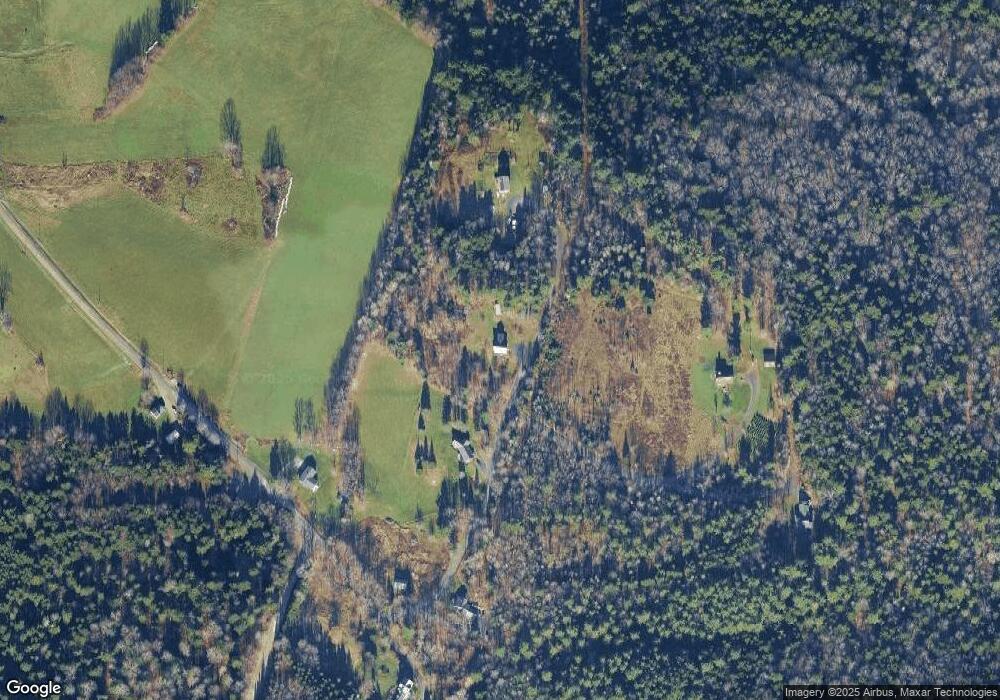
Map
Nearby Homes
- 1407 Moretown Mountain Rd
- 2443 Route 100b
- 459 Bat Hennesey Rd
- 720 Bat Hennessy Rd
- 0 Devils Washbowl
- 12 Delong Rd
- 360 Ward Brook Rd
- 1910 Stevens Brook Rd
- TBD Wilder Rd
- TBD Taylor Rd
- 3000 Vermont Route 100 Unit 6C
- 1397 Cobb Hill Rd
- 422 US Route 2
- 188 Atwood Rd
- 6084 Moretown Mountain Rd
- 485 Smith Rd
- 158 S Main St
- 143 S Main St
- 78 Pinebrook Rd
- TH 2 Brook Rd
- 111 Wade Rd
- 141 Wade Rd
- 307 Wade Rd
- 874 Howes Rd
- 36 Wade Rd
- 232 Wade Rd
- 104 Butternut Hill
- 0 Story Rd Unit 4229211
- 0 Story Rd Unit 4327721
- 201 Story Dr
- 641 Howes Rd
- 1212 Howes Rd
- 200 Story Dr Unit Lot D
- 961 Howes Rd
- 0 Maple Ridge Rd Unit 4812284
- 514 Howes Rd
- 200 Story Dr
- 2107 Moretown Common Rd
- 2110 Moretown Common Rd
- 478 Howes Rd
Your Personal Tour Guide
Ask me questions while you tour the home.