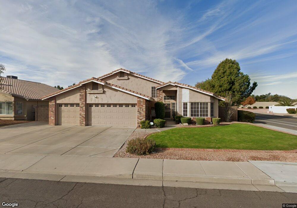
1390 N Desoto St Chandler, AZ 85224
Central Ridge NeighborhoodEstimated Value: $619,424 - $737,000
--
Bed
4
Baths
3,443
Sq Ft
$195/Sq Ft
Est. Value
About This Home
This home is located at 1390 N Desoto St, Chandler, AZ 85224 and is currently estimated at $670,356, approximately $194 per square foot. 1390 N Desoto St is a home located in Maricopa County with nearby schools including Chandler Traditional Academy - Goodman, Andersen Junior High School, and Chandler High School.
Ownership History
Date
Name
Owned For
Owner Type
Purchase Details
Closed on
Jan 22, 2003
Sold by
Reed Edwin E and Reed Sarah E
Bought by
Reed Edwin E and Reed Sarah E
Current Estimated Value
Home Financials for this Owner
Home Financials are based on the most recent Mortgage that was taken out on this home.
Original Mortgage
$107,510
Interest Rate
4.5%
Mortgage Type
New Conventional
Purchase Details
Closed on
Jun 14, 2001
Sold by
Reed Edwin E and Reed Sarah E
Bought by
Reed Edwin E and Reed Sarah E
Create a Home Valuation Report for This Property
The Home Valuation Report is an in-depth analysis detailing your home's value as well as a comparison with similar homes in the area
Home Values in the Area
Average Home Value in this Area
Purchase History
| Date | Buyer | Sale Price | Title Company |
|---|---|---|---|
| Reed Edwin E | -- | Fidelity National Title | |
| Reed Edwin E | -- | Fidelity National Title | |
| Reed Edwin E | -- | -- |
Source: Public Records
Mortgage History
| Date | Status | Borrower | Loan Amount |
|---|---|---|---|
| Closed | Reed Edwin E | $107,510 |
Source: Public Records
Tax History Compared to Growth
Tax History
| Year | Tax Paid | Tax Assessment Tax Assessment Total Assessment is a certain percentage of the fair market value that is determined by local assessors to be the total taxable value of land and additions on the property. | Land | Improvement |
|---|---|---|---|---|
| 2025 | $3,008 | $38,587 | -- | -- |
| 2024 | $2,903 | $36,750 | -- | -- |
| 2023 | $2,903 | $50,170 | $10,030 | $40,140 |
| 2022 | $2,801 | $36,680 | $7,330 | $29,350 |
| 2021 | $2,936 | $34,580 | $6,910 | $27,670 |
| 2020 | $2,923 | $32,980 | $6,590 | $26,390 |
| 2019 | $2,811 | $33,630 | $6,720 | $26,910 |
| 2018 | $2,722 | $33,300 | $6,660 | $26,640 |
| 2017 | $2,537 | $31,780 | $6,350 | $25,430 |
| 2016 | $2,444 | $34,210 | $6,840 | $27,370 |
| 2015 | $2,368 | $31,010 | $6,200 | $24,810 |
Source: Public Records
Map
Nearby Homes
- 2173 E La Vieve Ln
- 2875 W Highland St Unit 1102
- 2875 W Highland St Unit 1190
- 2875 W Highland St Unit 1112
- 3111 W Baylor Ln
- 3165 W Golden Ln
- 2609 W Upland Dr
- 1962 N Blackstone Dr
- 2663 W Estrella Dr
- 2571 W Park Ave
- 2541 W Park Ave
- 2702 W Brooks St
- 991 N Florence Dr
- 2007 E Ranch Rd
- 2050 N 90th Place
- 2221 W Rockwell Dr
- 2580 W Shannon Ct
- 2431 W Los Arboles Place
- 1962 E Ranch Rd Unit 3
- 2623 W Ivanhoe St
- 1380 N Desoto St
- 1416 N Desoto St
- 2895 W Calle Del Norte Unit 1
- 1370 N Desoto St
- 2830 W Kent Dr
- 1415 N Desoto St
- 1420 N Desoto St
- 2875 W Calle Del Norte
- 1360 N Desoto St
- 2820 W Kent Dr
- 1421 N Desoto St
- 1424 N Desoto St
- 1420 N Spire Ct Unit 1
- 2810 W Kent Dr Unit 1
- 2831 W Kent Dr Unit 1
- 2855 W Calle Del Norte
- 1350 N Desoto St
- 1427 N Desoto St
- 1426 N Spire Ct
- 2821 W Kent Dr