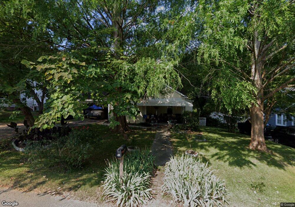
1390 Williams Estate Dr Lancaster, SC 29720
Estimated Value: $111,506 - $184,000
--
Bed
2
Baths
1,233
Sq Ft
$116/Sq Ft
Est. Value
About This Home
This home is located at 1390 Williams Estate Dr, Lancaster, SC 29720 and is currently estimated at $142,627, approximately $115 per square foot. 1390 Williams Estate Dr is a home located in Lancaster County with nearby schools including Brooklyn Springs Elementary School, South Middle School, and Lancaster High School.
Ownership History
Date
Name
Owned For
Owner Type
Purchase Details
Closed on
Mar 15, 2012
Sold by
Founders Federal Credit Union
Bought by
Dinges Steven A
Current Estimated Value
Home Financials for this Owner
Home Financials are based on the most recent Mortgage that was taken out on this home.
Original Mortgage
$33,000
Outstanding Balance
$4,232
Interest Rate
3.9%
Mortgage Type
Seller Take Back
Estimated Equity
$138,395
Purchase Details
Closed on
Nov 9, 2011
Sold by
Foster Ruby Darlen and Roe Richard
Bought by
Founders Federal Credit Union
Create a Home Valuation Report for This Property
The Home Valuation Report is an in-depth analysis detailing your home's value as well as a comparison with similar homes in the area
Home Values in the Area
Average Home Value in this Area
Purchase History
| Date | Buyer | Sale Price | Title Company |
|---|---|---|---|
| Dinges Steven A | $33,000 | -- | |
| Founders Federal Credit Union | $500 | -- |
Source: Public Records
Mortgage History
| Date | Status | Borrower | Loan Amount |
|---|---|---|---|
| Open | Dinges Steven A | $33,000 |
Source: Public Records
Tax History Compared to Growth
Tax History
| Year | Tax Paid | Tax Assessment Tax Assessment Total Assessment is a certain percentage of the fair market value that is determined by local assessors to be the total taxable value of land and additions on the property. | Land | Improvement |
|---|---|---|---|---|
| 2024 | $12 | $2,084 | $316 | $1,768 |
| 2023 | $12 | $2,084 | $316 | $1,768 |
| 2022 | $12 | $2,084 | $316 | $1,768 |
| 2021 | $12 | $2,084 | $316 | $1,768 |
| 2020 | $584 | $1,844 | $316 | $1,528 |
| 2019 | $622 | $1,844 | $316 | $1,528 |
| 2018 | $599 | $1,844 | $316 | $1,528 |
| 2017 | $584 | $0 | $0 | $0 |
| 2016 | $215 | $0 | $0 | $0 |
| 2015 | $215 | $0 | $0 | $0 |
| 2014 | $215 | $0 | $0 | $0 |
| 2013 | $215 | $0 | $0 | $0 |
Source: Public Records
Map
Nearby Homes
- TBD Williams Estate Dr
- 1429 Williams Estate Dr
- 1334 Williams Estate Dr
- 1453 Old Landsford Rd
- 1257 Springdale Rd
- TBD Old Landsford Rd
- 1451 Kings Cir
- 5.45 acres Memorial Park Rd
- 3.04 acres Memorial Park Rd
- 1319 Jefferson St
- 1747 Summit Ave Unit C
- 1613 Small St
- 1841 Grace Ave
- 1501 Victoria St Unit 11
- 1503 Victoria St
- 1500 Victoria St Unit 4
- 1817 Grace Ave
- 1509 Victoria St Unit 13
- 1801 Grace Ave
- 126 S Jackson Rd
- 1384 Williams Estate Dr
- 1398 Williams Estate Dr
- 1398 Williams Estate Dr Unit 1/H
- 721 W Brooklyn Ave
- 1397 Williams Estate Dr
- 1377 Williams Estate Dr
- 1368 Williams Estate Dr
- 0 W Brooklyn Ave Unit 11111955
- 676 W Brooklyn Ave
- 1419 Williams Estate Dr
- 1368 Yancey St
- 1388 Yancey St
- 729 W Brooklyn Ave
- 1356 Williams Estate Dr
- 1356 Yancey St
- 1357 Williams Estate Dr
- 1348 Yancey St
- 731 W Brooklyn Ave
- 1279 Elmwood Ave
- 1345 Williams Estate Dr