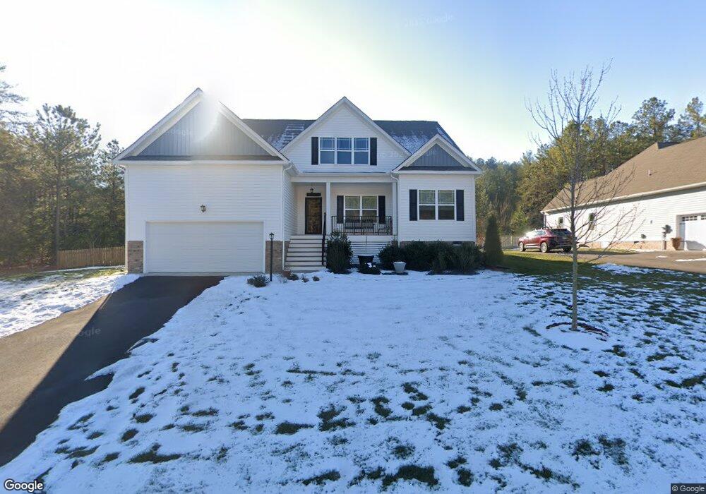
13900 Stanley Park Dr Ashland, VA 23005
Estimated Value: $521,000 - $548,000
3
Beds
2
Baths
2,297
Sq Ft
$235/Sq Ft
Est. Value
About This Home
This home is located at 13900 Stanley Park Dr, Ashland, VA 23005 and is currently estimated at $539,897, approximately $235 per square foot. 13900 Stanley Park Dr is a home located in Hanover County with nearby schools including Henry Clay Elementary School, Liberty Middle School, and Patrick Henry High School.
Ownership History
Date
Name
Owned For
Owner Type
Purchase Details
Closed on
Jan 20, 2020
Sold by
Rci Builders Llc
Bought by
Paul Gloria Patricia
Current Estimated Value
Home Financials for this Owner
Home Financials are based on the most recent Mortgage that was taken out on this home.
Original Mortgage
$164,000
Outstanding Balance
$145,262
Interest Rate
3.73%
Mortgage Type
New Conventional
Estimated Equity
$394,635
Purchase Details
Closed on
Sep 24, 2019
Sold by
Ashland Park Development Llc
Bought by
Rci Builders Llc
Create a Home Valuation Report for This Property
The Home Valuation Report is an in-depth analysis detailing your home's value as well as a comparison with similar homes in the area
Home Values in the Area
Average Home Value in this Area
Purchase History
| Date | Buyer | Sale Price | Title Company |
|---|---|---|---|
| Paul Gloria Patricia | $414,122 | Attorney | |
| Rci Builders Llc | $105,000 | Attorney |
Source: Public Records
Mortgage History
| Date | Status | Borrower | Loan Amount |
|---|---|---|---|
| Open | Paul Gloria Patricia | $164,000 |
Source: Public Records
Tax History Compared to Growth
Tax History
| Year | Tax Paid | Tax Assessment Tax Assessment Total Assessment is a certain percentage of the fair market value that is determined by local assessors to be the total taxable value of land and additions on the property. | Land | Improvement |
|---|---|---|---|---|
| 2025 | $3,984 | $486,200 | $115,000 | $371,200 |
| 2024 | $3,563 | $434,200 | $105,000 | $329,200 |
| 2023 | $3,389 | $434,200 | $105,000 | $329,200 |
| 2022 | $3,277 | $399,500 | $97,000 | $302,500 |
| 2021 | $3,088 | $376,800 | $97,000 | $279,800 |
| 2020 | $1,456 | $175,800 | $97,000 | $78,800 |
| 2019 | $689 | $92,500 | $92,500 | $0 |
| 2018 | $689 | $85,000 | $85,000 | $0 |
| 2017 | $689 | $85,000 | $85,000 | $0 |
| 2016 | $648 | $80,000 | $80,000 | $0 |
| 2015 | $648 | $80,000 | $80,000 | $0 |
Source: Public Records
Map
Nearby Homes
- 11228 Hill Ridge Ct
- 11224 Hill Ridge Ct
- 11182 Tinsley Dr
- Jefferson Plan at Amburn - Single Family
- Byrd Plan at Amburn - Villas
- Monterey Plan at Amburn - Single Family
- 720 Chapman St
- 118 Lauradell Rd
- 509 Chapman St
- 119 Thorncliff Rd
- 317 N Snead St
- 124 Axton Ln
- 109 Axton Ln
- 0 E Patrick St
- 210 Wesley St
- 0 Wesley St Unit 2431424
- 14106 Falcon Crest Ct
- Rockefeller Plan at StillCroft
- Shearwater Plan at StillCroft
- Bridgeport Plan at StillCroft
- 13896 Stanley Park Dr
- 13895 Stanley Park Dr
- 13899 Stanley Park Dr
- 13903 Stanley Park Dr
- 13892 Stanley Park Dr
- 13891 Stanley Park Dr
- 13907 Stanley Park Dr
- 13888 Stanley Park Dr
- 13911 Stanley Park Dr
- 13883 Stanley Park Dr
- 13884 Stanley Park Dr
- 13915 Stanley Park Dr
- 11241 Ashland Park Dr
- 11245 Ashland Park Dr
- 11237 Ashland Park Dr
- 11249 Ashland Park Dr
- 11253 Ashland Park Dr
- 11229 Ashland Park Dr
- 11233 Ashland Park Dr