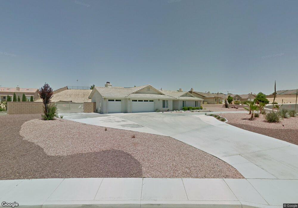
13905 Riverside Dr Apple Valley, CA 92307
High Desert NeighborhoodEstimated Value: $561,000 - $621,000
5
Beds
3
Baths
2,414
Sq Ft
$244/Sq Ft
Est. Value
About This Home
This home is located at 13905 Riverside Dr, Apple Valley, CA 92307 and is currently estimated at $588,034, approximately $243 per square foot. 13905 Riverside Dr is a home located in San Bernardino County with nearby schools including Rio Vista School of Applied Learning, Apple Valley High School, and Academy for Academic Excellence.
Ownership History
Date
Name
Owned For
Owner Type
Purchase Details
Closed on
Jan 27, 2002
Sold by
West River Bend Lp
Bought by
Rhodes William S and Rhodes Lyn S
Current Estimated Value
Home Financials for this Owner
Home Financials are based on the most recent Mortgage that was taken out on this home.
Original Mortgage
$208,292
Interest Rate
6.83%
Mortgage Type
VA
Create a Home Valuation Report for This Property
The Home Valuation Report is an in-depth analysis detailing your home's value as well as a comparison with similar homes in the area
Home Values in the Area
Average Home Value in this Area
Purchase History
| Date | Buyer | Sale Price | Title Company |
|---|---|---|---|
| Rhodes William S | $202,500 | First American Title Ins Co |
Source: Public Records
Mortgage History
| Date | Status | Borrower | Loan Amount |
|---|---|---|---|
| Previous Owner | Rhodes William S | $208,292 |
Source: Public Records
Tax History
| Year | Tax Paid | Tax Assessment Tax Assessment Total Assessment is a certain percentage of the fair market value that is determined by local assessors to be the total taxable value of land and additions on the property. | Land | Improvement |
|---|---|---|---|---|
| 2025 | $3,759 | $328,429 | $59,093 | $269,336 |
| 2024 | $3,651 | $321,989 | $57,934 | $264,055 |
| 2023 | $3,512 | $306,174 | $56,798 | $249,376 |
| 2022 | $3,458 | $300,170 | $55,684 | $244,486 |
| 2021 | $3,378 | $294,284 | $54,592 | $239,692 |
| 2020 | $3,336 | $291,266 | $54,032 | $237,234 |
| 2019 | $3,273 | $285,555 | $52,973 | $232,582 |
| 2018 | $3,191 | $279,956 | $51,934 | $228,022 |
| 2017 | $3,146 | $274,467 | $50,916 | $223,551 |
| 2016 | $3,033 | $269,086 | $49,918 | $219,168 |
| 2015 | $2,987 | $265,044 | $49,168 | $215,876 |
| 2014 | $2,946 | $259,852 | $48,205 | $211,647 |
Source: Public Records
Map
Nearby Homes
- 18891 Shoshonee Rd
- 18475 Trout
- 13665 Driftwood Dr
- 13535 Driftwood Dr
- 13608 Sea Gull Dr
- 13501 Driftwood Dr
- 0 Riverside Dell
- 13395 Driftwood Dr
- 18570 Niagara Dr
- 13980 Driftwood Dr
- 18055 Lakeview Dr
- 18310 Niagara Dr
- 13436 Havasu Rd
- 13380 Driftwood Dr
- 13771 Wawona Rd
- 14171 Tehachapi Rd
- 0 Seneca Ct
- 18091 Mariner Dr
- 18099 Mariner Dr
- 13710 White Sail Dr
- 13913 Riverside Dr
- 18722 Nowata Rd
- 13871 Riverside Dr
- 13892 Riverside Dr
- 13960 Shoshonee Ct
- 18732 Nowata Rd
- 13923 Riverside Dr
- 13964 Shoshonee Ct
- 13912 Riverside Dr
- 13870 Riverside Dr
- 18725 Nowata Rd
- 13961 Shoshonee Ct
- 13906 Nowata Ct
- 13976 Shoshonee Ct
- 13968 Shoshonee Ct
- 18757 Nowata Rd
- 13947 Riverside Dr
- 13910 Nowata Ct
- 13851 Riverside Dr
- 13969 Shoshonee Ct
Your Personal Tour Guide
Ask me questions while you tour the home.