13911 102nd St NW South Haven, MN 55382
Estimated Value: $371,000 - $428,000
2
Beds
2
Baths
1,184
Sq Ft
$337/Sq Ft
Est. Value
About This Home
This home is located at 13911 102nd St NW, South Haven, MN 55382 and is currently estimated at $398,568, approximately $336 per square foot. 13911 102nd St NW is a home located in Wright County with nearby schools including Annandale Elementary School, Annandale Middle School, and Annandale Senior High School.
Ownership History
Date
Name
Owned For
Owner Type
Purchase Details
Closed on
Aug 4, 2021
Sold by
Templin Brian L and Templin Janice K
Bought by
Carlson Allan and Carlson Victoria Josephine
Current Estimated Value
Home Financials for this Owner
Home Financials are based on the most recent Mortgage that was taken out on this home.
Original Mortgage
$256,000
Outstanding Balance
$232,078
Interest Rate
2.7%
Mortgage Type
New Conventional
Estimated Equity
$166,490
Create a Home Valuation Report for This Property
The Home Valuation Report is an in-depth analysis detailing your home's value as well as a comparison with similar homes in the area
Home Values in the Area
Average Home Value in this Area
Purchase History
| Date | Buyer | Sale Price | Title Company |
|---|---|---|---|
| Carlson Allan | $320,000 | All American Title | |
| Carlson Victoria Victoria | $320,000 | -- |
Source: Public Records
Mortgage History
| Date | Status | Borrower | Loan Amount |
|---|---|---|---|
| Open | Carlson Allan | $256,000 | |
| Closed | Carlson Victoria Victoria | $256,000 |
Source: Public Records
Tax History Compared to Growth
Tax History
| Year | Tax Paid | Tax Assessment Tax Assessment Total Assessment is a certain percentage of the fair market value that is determined by local assessors to be the total taxable value of land and additions on the property. | Land | Improvement |
|---|---|---|---|---|
| 2025 | $2,604 | $426,000 | $226,800 | $199,200 |
| 2024 | $2,508 | $338,400 | $144,100 | $194,300 |
| 2023 | $2,564 | $329,300 | $134,800 | $194,500 |
| 2022 | $2,426 | $310,900 | $125,600 | $185,300 |
| 2021 | $2,256 | $251,500 | $78,000 | $173,500 |
| 2020 | $2,260 | $224,800 | $66,000 | $158,800 |
| 2019 | $2,280 | $220,000 | $0 | $0 |
| 2018 | $1,942 | $206,700 | $0 | $0 |
| 2017 | $1,854 | $178,000 | $0 | $0 |
| 2016 | $1,768 | $0 | $0 | $0 |
| 2015 | $1,488 | $0 | $0 | $0 |
| 2014 | -- | $0 | $0 | $0 |
Source: Public Records
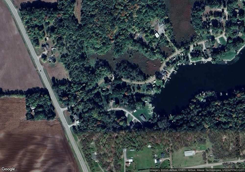
Map
Nearby Homes
- 13943 102nd St NW
- 13934 101st St NW
- 10368 Oliver Ave NW
- 13496 Campfire Cir
- 2060 Clearwater Forest Dr
- 0 80th St NW
- 10848 Porter Ave NW
- 14XXX County Road 44
- 8537 Pittman Ave NW
- 11780 103rd St NW
- 7939 Lake John Dr
- 7620 Lake John Dr
- 7610 Lake John Dr
- 7560 Lake John Dr
- 7550 Lake John Dr
- 14264 74th St NW
- 7541 Lake John Dr
- 7581 Lake John Dr
- 16698 109th St NW
- 7551 Lake John Dr
- 13905 102nd St NW
- 13943 13943 102nd-Street-nw
- 13905 13905 102nd-Street-nw
- 13924 101st St NW
- 13914 101st St NW
- 13906 101st St NW
- 13904 101st St NW
- 13867 102nd St NW
- 13980 101st St NW
- 13855 102nd St NW
- 13886 101st St NW
- 13889 101st St NW
- 13870 101st St NW
- 13841 102nd St NW
- xxx 101st St NW
- 0 Xxx 101st St NW
- 13835 102nd St NW
- 13832 102nd St NW
- 9895 Norton Ave NW
- 9940 Oliver Ave NW