13915 Ashford Path Rosemount, MN 55068
Estimated Value: $590,000 - $658,000
4
Beds
4
Baths
2,552
Sq Ft
$240/Sq Ft
Est. Value
About This Home
This home is located at 13915 Ashford Path, Rosemount, MN 55068 and is currently estimated at $611,559, approximately $239 per square foot. 13915 Ashford Path is a home located in Dakota County with nearby schools including Rosemount Elementary School, Rosemount Middle School, and Rosemount Senior High School.
Ownership History
Date
Name
Owned For
Owner Type
Purchase Details
Closed on
May 22, 2020
Sold by
Key Land Homes Inc
Bought by
Meenakshisundaram Sivasubramaniyam
Current Estimated Value
Home Financials for this Owner
Home Financials are based on the most recent Mortgage that was taken out on this home.
Original Mortgage
$407,700
Outstanding Balance
$360,595
Interest Rate
3.2%
Mortgage Type
New Conventional
Estimated Equity
$250,964
Purchase Details
Closed on
Feb 12, 2020
Sold by
Key Land Homes
Bought by
Key Land Homes Inc
Purchase Details
Closed on
Dec 21, 2017
Sold by
Prestwick Llc
Bought by
Kay Land Homes
Create a Home Valuation Report for This Property
The Home Valuation Report is an in-depth analysis detailing your home's value as well as a comparison with similar homes in the area
Home Values in the Area
Average Home Value in this Area
Purchase History
| Date | Buyer | Sale Price | Title Company |
|---|---|---|---|
| Meenakshisundaram Sivasubramaniyam | $454,539 | Trademark Title Services Inc | |
| Key Land Homes Inc | -- | Land Title Inc | |
| Key Land Homes Inc | -- | Land Title Inc | |
| Kay Land Homes | $1,020,000 | Trademark Title Services Inc |
Source: Public Records
Mortgage History
| Date | Status | Borrower | Loan Amount |
|---|---|---|---|
| Open | Meenakshisundaram Sivasubramaniyam | $407,700 |
Source: Public Records
Tax History
| Year | Tax Paid | Tax Assessment Tax Assessment Total Assessment is a certain percentage of the fair market value that is determined by local assessors to be the total taxable value of land and additions on the property. | Land | Improvement |
|---|---|---|---|---|
| 2024 | $6,562 | $585,800 | $140,200 | $445,600 |
| 2023 | $6,562 | $588,000 | $141,700 | $446,300 |
| 2022 | $5,402 | $562,600 | $141,200 | $421,400 |
| 2021 | $1,442 | $475,500 | $122,800 | $352,700 |
| 2020 | $1,308 | $105,200 | $105,200 | $0 |
| 2019 | $1,208 | $91,700 | $91,700 | $0 |
| 2018 | $195 | $87,400 | $87,400 | $0 |
| 2017 | -- | $13,600 | $13,600 | $0 |
Source: Public Records
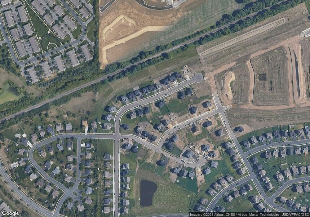
Map
Nearby Homes
- 13736 Kaylemore Trail
- 13740 Kaylemore Trail
- 13728 Kaylemore Trail
- 13732 Kaylemore Trail
- 13724 Kaylemore Trail
- 13720 Kaylemore Trail
- 13688 Kaylemore Trail
- 13684 Kaylemore Trail
- 13676 Kaylemore Trail
- 13720 Atrium Ave
- 13780 Atwood Ave
- 13680 Carrakay Way
- 13999 Abbeyfield Ave
- 1320 136th St W
- 1016 130th Ct E
- 1020 130th Ct E
- 1024 130th Ct E
- 14350 Atwater Way
- 13721 Arrowhead Way
- 13722 Arrowhead Way
- 13917 Ashford Path
- 13913 Ashford Path
- 13911 Ashford Path
- 1395 Ashbrook Path
- 13919 Ashford Path
- 1375 Ashbrook Path
- 1355 Ashbrook Path
- 13921 Ashford Path
- 13921 Ashford Path Ave
- 1425 140th St W
- 1435 140th St W
- 13905 Ashford Path
- 1335 Ashbrook Path
- 13914 Ashford Path
- 13916 Ashford Path
- 13912 Ashford Path
- 13923 Ashford Path
- 13941 Ashford Path
- 13901 Ashford Path
- 1315 Ashbrook Path
Your Personal Tour Guide
Ask me questions while you tour the home.