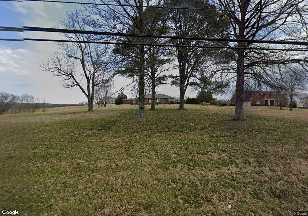
1392 Highway 25 Gallatin, TN 37066
Estimated Value: $610,000 - $653,000
--
Bed
2
Baths
2,529
Sq Ft
$248/Sq Ft
Est. Value
About This Home
This home is located at 1392 Highway 25, Gallatin, TN 37066 and is currently estimated at $626,164, approximately $247 per square foot. 1392 Highway 25 is a home located in Sumner County with nearby schools including Howard Elementary School, Rucker Stewart Middle School, and Station Camp High School.
Ownership History
Date
Name
Owned For
Owner Type
Purchase Details
Closed on
Jan 17, 2024
Sold by
Milliken Taylor D and Milliken Samantha M
Bought by
James Robert and James Sabrina
Current Estimated Value
Home Financials for this Owner
Home Financials are based on the most recent Mortgage that was taken out on this home.
Original Mortgage
$429,000
Outstanding Balance
$421,605
Interest Rate
7.03%
Mortgage Type
New Conventional
Estimated Equity
$204,559
Purchase Details
Closed on
Sep 26, 2022
Sold by
Nvr Inc
Bought by
Dowdy Chris Alan and Dowdy Carolyn Joy
Home Financials for this Owner
Home Financials are based on the most recent Mortgage that was taken out on this home.
Original Mortgage
$498,244
Interest Rate
4%
Mortgage Type
New Conventional
Purchase Details
Closed on
Sep 23, 2014
Sold by
Park Stratford
Bought by
Ole South Properties Inc
Home Financials for this Owner
Home Financials are based on the most recent Mortgage that was taken out on this home.
Original Mortgage
$162,000
Interest Rate
4.17%
Mortgage Type
Unknown
Purchase Details
Closed on
May 19, 2014
Sold by
Hunter John Robert and Hunter Alicia C
Bought by
Milliken Taylor D and Milliken Samantha M
Home Financials for this Owner
Home Financials are based on the most recent Mortgage that was taken out on this home.
Original Mortgage
$274,550
Interest Rate
4.23%
Mortgage Type
New Conventional
Purchase Details
Closed on
Oct 8, 2009
Sold by
Carter Jesse Dean and Carter Wendi M
Bought by
Hunter John Robert and Hunter Alicia C
Home Financials for this Owner
Home Financials are based on the most recent Mortgage that was taken out on this home.
Original Mortgage
$204,800
Interest Rate
5.05%
Mortgage Type
New Conventional
Purchase Details
Closed on
Nov 13, 2006
Sold by
Mcreynolds Randall B and The Estate Of Arnold C Mcreyno
Bought by
Ramsey James Robert and Ramsey Bobbie
Purchase Details
Closed on
Sep 6, 2006
Sold by
Mcreynolds Arnold C and Mcreynolds C A
Bought by
Sutherland Devon J and Sutherland Edie E
Home Financials for this Owner
Home Financials are based on the most recent Mortgage that was taken out on this home.
Original Mortgage
$196,000
Interest Rate
6.74%
Mortgage Type
Purchase Money Mortgage
Purchase Details
Closed on
Aug 4, 2006
Sold by
Mcreynolds Arnold C
Bought by
Carter Jesse Dean and Carter Wendi M
Home Financials for this Owner
Home Financials are based on the most recent Mortgage that was taken out on this home.
Original Mortgage
$196,000
Interest Rate
6.74%
Mortgage Type
Purchase Money Mortgage
Purchase Details
Closed on
Jun 29, 2006
Sold by
Mcreynolds Nina T
Bought by
Mcreynolds Arnold C
Home Financials for this Owner
Home Financials are based on the most recent Mortgage that was taken out on this home.
Original Mortgage
$196,000
Interest Rate
6.74%
Mortgage Type
Purchase Money Mortgage
Purchase Details
Closed on
Jul 26, 2001
Sold by
Mcreynolds Nina
Bought by
Ramsey James Robert and Ramsey Bobbie Jackson
Purchase Details
Closed on
Mar 8, 2000
Sold by
Mcreynolds Arnold and Mcreynolds Nina
Bought by
Webster Paul Scott
Home Financials for this Owner
Home Financials are based on the most recent Mortgage that was taken out on this home.
Original Mortgage
$28,360
Interest Rate
8.29%
Mortgage Type
Seller Take Back
Create a Home Valuation Report for This Property
The Home Valuation Report is an in-depth analysis detailing your home's value as well as a comparison with similar homes in the area
Home Values in the Area
Average Home Value in this Area
Purchase History
| Date | Buyer | Sale Price | Title Company |
|---|---|---|---|
| James Robert | $600,000 | None Listed On Document | |
| Dowdy Chris Alan | -- | -- | |
| Ole South Properties Inc | $39,250 | Tri Star Title & Escrow Llc | |
| Milliken Taylor D | $289,000 | Stewart Title Guaranty Co | |
| Hunter John Robert | $256,000 | None Available | |
| Ramsey James Robert | $15,000 | None Available | |
| Ramsey James Robert | $67,500 | None Available | |
| Sutherland Devon J | $64,000 | None Available | |
| Carter Jesse Dean | $245,000 | None Available | |
| Mcreynolds Arnold C | -- | None Available | |
| Mcreynolds Arnold C | -- | None Available | |
| Mcreynolds Arnold C | -- | None Available | |
| Ramsey James Robert | $45,781 | -- | |
| Webster Paul Scott | $33,400 | -- |
Source: Public Records
Mortgage History
| Date | Status | Borrower | Loan Amount |
|---|---|---|---|
| Open | James Robert | $429,000 | |
| Previous Owner | Dowdy Chris Alan | $498,244 | |
| Previous Owner | Ole South Properties Inc | $162,000 | |
| Previous Owner | Milliken Taylor D | $274,550 | |
| Previous Owner | Hunter John Robert | $204,800 | |
| Previous Owner | Carter Jesse Dean | $196,000 | |
| Previous Owner | Webster Paul Scott | $28,360 |
Source: Public Records
Tax History Compared to Growth
Tax History
| Year | Tax Paid | Tax Assessment Tax Assessment Total Assessment is a certain percentage of the fair market value that is determined by local assessors to be the total taxable value of land and additions on the property. | Land | Improvement |
|---|---|---|---|---|
| 2024 | $1,783 | $125,500 | $46,250 | $79,250 |
| 2023 | $1,790 | $79,500 | $27,600 | $51,900 |
| 2022 | $1,798 | $79,500 | $27,600 | $51,900 |
| 2021 | $1,798 | $79,500 | $27,600 | $51,900 |
| 2020 | $1,798 | $79,500 | $27,600 | $51,900 |
| 2019 | $1,569 | $0 | $0 | $0 |
| 2018 | $1,048 | $0 | $0 | $0 |
| 2017 | $1,048 | $0 | $0 | $0 |
| 2016 | $1,048 | $0 | $0 | $0 |
| 2015 | -- | $0 | $0 | $0 |
| 2014 | -- | $0 | $0 | $0 |
Source: Public Records
Map
Nearby Homes
- 1036 Middleton Ln
- 1017 Wickshire Dr
- 608 Bradford Dr
- 1176 Liberty Ln
- 540 Bradford Dr
- 688 Douglas Ln
- 1328 Wentworth Dr
- 415 Buckingham Blvd
- 420 Dorchester Place
- 1273 Wentworth Dr
- 650 Neals Ln
- 376 Huntington Dr
- 1239 Wentworth Dr
- 300 Remington Ave
- 305 Remington Ave
- 1245 Amherst Ct
- 294 Buckingham Blvd
- 516 Dottie Dr
- 548 Dottie Dr
- 662 Neals Ln
- 1392 Highway 25
- 1388 Highway 25
- 1389 Highway 25
- 121 Lawrencetown Rd
- 1384 Highway 25
- 100 Village Green Rd
- 114 Village Green Rd
- 1007 Liberty Ln
- 25 Highway
- 1379 Highway 25
- 25W Highway Hwy
- 120 Lawrencetown Rd
- 134 Lawrencetown Rd
- 163 Lawrencetown Rd
- 0 Liberty Ln Unit 1945847
- 0 Liberty Ln Unit 1904394
- 0 Liberty Ln Unit 1904391
- 0 Liberty Ln Unit 1886938
- 0 Liberty Ln Unit RTC1331254
- 0 Liberty Ln Unit RTC2497767