Estimated Value: $895,961 - $1,040,000
5
Beds
4
Baths
4,808
Sq Ft
$207/Sq Ft
Est. Value
About This Home
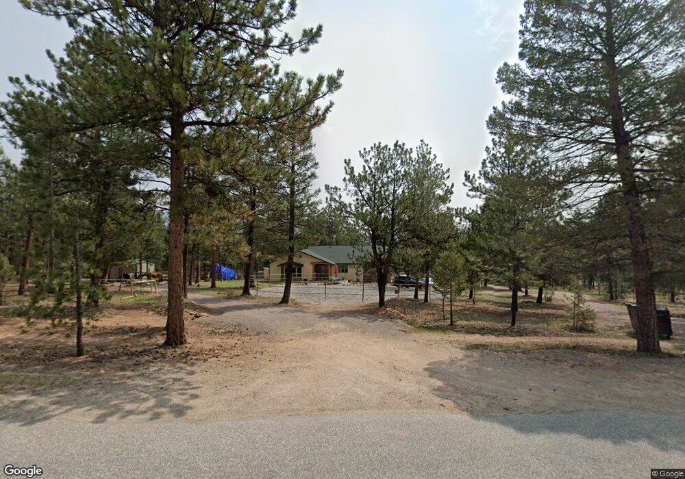
This home is located at 1392 Mount Evans Blvd, Pine, CO 80470 and is currently estimated at $994,240, approximately $206 per square foot. 1392 Mount Evans Blvd is a home located in Park County with nearby schools including Deer Creek Elementary School, Fitzsimmons Middle School, and Platte Canyon High School.
Ownership History
Date
Name
Owned For
Owner Type
Purchase Details
Closed on
May 12, 2022
Sold by
Steele Andrew M
Bought by
Keil Laura and Ammerman Chad
Current Estimated Value
Home Financials for this Owner
Home Financials are based on the most recent Mortgage that was taken out on this home.
Original Mortgage
$647,200
Outstanding Balance
$607,629
Interest Rate
4.67%
Mortgage Type
New Conventional
Estimated Equity
$386,611
Purchase Details
Closed on
Apr 20, 2012
Sold by
Fannie Mae
Bought by
Steele Andrew M and Steele Sarah M
Home Financials for this Owner
Home Financials are based on the most recent Mortgage that was taken out on this home.
Original Mortgage
$269,660
Interest Rate
3.92%
Mortgage Type
New Conventional
Purchase Details
Closed on
Feb 9, 2012
Sold by
Wells Fargo Bank Na
Bought by
Federal National Mortgage Association
Create a Home Valuation Report for This Property
The Home Valuation Report is an in-depth analysis detailing your home's value as well as a comparison with similar homes in the area
Home Values in the Area
Average Home Value in this Area
Purchase History
| Date | Buyer | Sale Price | Title Company |
|---|---|---|---|
| Keil Laura | $908,000 | None Listed On Document | |
| Steele Andrew M | $278,000 | None Available | |
| Federal National Mortgage Association | $325,562 | None Available |
Source: Public Records
Mortgage History
| Date | Status | Borrower | Loan Amount |
|---|---|---|---|
| Open | Keil Laura | $647,200 | |
| Previous Owner | Steele Andrew M | $269,660 |
Source: Public Records
Tax History
| Year | Tax Paid | Tax Assessment Tax Assessment Total Assessment is a certain percentage of the fair market value that is determined by local assessors to be the total taxable value of land and additions on the property. | Land | Improvement |
|---|---|---|---|---|
| 2025 | $4,078 | $65,540 | $14,550 | $50,990 |
| 2024 | $3,318 | $57,800 | $13,430 | $44,370 |
| 2023 | $3,318 | $57,800 | $13,430 | $44,370 |
| 2022 | $2,791 | $45,663 | $8,245 | $37,418 |
| 2021 | $2,781 | $46,970 | $8,480 | $38,490 |
| 2020 | $2,727 | $44,210 | $5,800 | $38,410 |
| 2019 | $2,619 | $44,210 | $5,800 | $38,410 |
| 2018 | $2,157 | $44,210 | $5,800 | $38,410 |
| 2017 | $2,153 | $37,270 | $5,580 | $31,690 |
| 2016 | $2,179 | $37,540 | $5,900 | $31,640 |
| 2015 | $2,203 | $37,540 | $5,900 | $31,640 |
| 2014 | $1,859 | $0 | $0 | $0 |
Source: Public Records
Map
Nearby Homes
- 2565 S Nova Rd
- 249 Territory Dr Unit 4
- 89 S Jones Creek Ln
- 229 Mohawk Trail
- 33988 Jenifer Rd
- 1819 Nova Rd Unit 4
- 12907 S Cindy Ave
- 34657 Mohawk Trail
- 13287 S Otoe St
- 82 Gatewood Ln
- 13347 S Otoe St
- 191 Diamond Dr
- 33350 Beverly Rd
- 35441 Upper Aspen Ln
- 34697 Silver Springs Blvd
- 0000 Fish Pond Way
- 65 Silver Springs Rd
- 38 Buttermilk Ln
- 00 Fish Pond Way
- 121 Sunlight Ln
- 83 Dawson Rd
- 41 Dawson Rd
- 125 Dawson Rd
- 1413 Mount Evans Blvd
- 1377 Mount Evans Blvd
- 299 Dawson Rd
- 30 Dawson Rd
- 116 Dawson Rd
- 62 Dawson Rd
- 1343 Mount Evans Blvd
- 89 Jones Creek Cir
- 90 Jones Creek Cir
- 45 Jones Creek Cir
- 1498 Mount Evans Blvd
- 161 Dawson Rd
- 1307 Mount Evans Blvd
- 1541 Mount Evans Blvd
- 321 Dawson Rd
- 38 Carmargo Rd
- 1266 Mount Evans Blvd
Your Personal Tour Guide
Ask me questions while you tour the home.