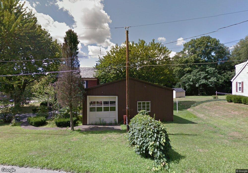
1392 Stevenson Rd Masury, OH 44438
Estimated Value: $79,000 - $122,000
3
Beds
1
Bath
1,352
Sq Ft
$75/Sq Ft
Est. Value
About This Home
This home is located at 1392 Stevenson Rd, Masury, OH 44438 and is currently estimated at $101,567, approximately $75 per square foot. 1392 Stevenson Rd is a home located in Trumbull County with nearby schools including Brookfield Elementary School, Brookfield Middle School, and Brookfield High School.
Ownership History
Date
Name
Owned For
Owner Type
Purchase Details
Closed on
Mar 24, 2005
Sold by
Shank Lawrence L and Shank Ethel G
Bought by
Bartolin Nicholas P and Bartolin Dayleen
Current Estimated Value
Home Financials for this Owner
Home Financials are based on the most recent Mortgage that was taken out on this home.
Original Mortgage
$87,500
Outstanding Balance
$47,206
Interest Rate
6.59%
Mortgage Type
Adjustable Rate Mortgage/ARM
Estimated Equity
$54,361
Purchase Details
Closed on
Jan 1, 1990
Bought by
Lawrence Lawrence L and Lawrence Ethel G
Create a Home Valuation Report for This Property
The Home Valuation Report is an in-depth analysis detailing your home's value as well as a comparison with similar homes in the area
Home Values in the Area
Average Home Value in this Area
Purchase History
| Date | Buyer | Sale Price | Title Company |
|---|---|---|---|
| Bartolin Nicholas P | $87,500 | -- | |
| Lawrence Lawrence L | -- | -- |
Source: Public Records
Mortgage History
| Date | Status | Borrower | Loan Amount |
|---|---|---|---|
| Open | Bartolin Nicholas P | $87,500 |
Source: Public Records
Tax History Compared to Growth
Tax History
| Year | Tax Paid | Tax Assessment Tax Assessment Total Assessment is a certain percentage of the fair market value that is determined by local assessors to be the total taxable value of land and additions on the property. | Land | Improvement |
|---|---|---|---|---|
| 2024 | $3,537 | $25,900 | $1,750 | $24,150 |
| 2023 | $3,270 | $25,900 | $1,750 | $24,150 |
| 2022 | $1,693 | $18,170 | $1,750 | $16,420 |
| 2021 | $1,576 | $18,170 | $1,750 | $16,420 |
| 2020 | $1,521 | $18,170 | $1,750 | $16,420 |
| 2019 | $1,593 | $17,220 | $1,750 | $15,470 |
| 2018 | $1,501 | $17,220 | $1,750 | $15,470 |
| 2017 | $1,439 | $17,220 | $1,750 | $15,470 |
| 2016 | $1,390 | $16,490 | $1,720 | $14,770 |
| 2015 | $1,327 | $16,490 | $1,720 | $14,770 |
| 2014 | $1,404 | $16,490 | $1,720 | $14,770 |
| 2013 | $1,009 | $17,610 | $1,720 | $15,890 |
Source: Public Records
Map
Nearby Homes
- 1354 Stevenson Rd
- 7737 Elm St
- 7822 2nd St
- 7847 Chestnut St
- 1017 Broadway St
- 7111 Pine Grove Dr
- 1911 Hubbard Thomas Rd
- 1952 Hubbard Masury Rd
- 6855 Stewart Sharon Rd
- 7370 Brookwood Dr
- 705 S State Line Rd
- 545 & 625 Davis St
- 691 S Irvine Ave
- 676 S State Line Rd
- 672 S Stateline Rd
- 7086 Warren Sharon Rd
- 453 Lafayette Ave
- 7091 Warren Sharon Rd
- 6984 Warren Sharon Rd
- 7954 Warren - Sharon Rd
- 1400 Stevenson Rd
- 1382 Stevenson Rd
- 1404 Stevenson Rd
- 7538 Balint Ave
- 7538 Balint Ave
- 1397 Stevenson Rd
- 1372 Stevenson Rd
- 1379 Stevenson Rd
- 7537 Balint Ave
- 7542 Francis St
- 1420 Stevenson Rd
- 1364 Stevenson Rd
- 7536 Francis St
- 1367 Stevenson Rd
- 7578 Francis St
- 7526 Francis St
- 1429 Stevenson Rd
- 7586 Francis St
- 7545 Francis St
- 7539 Francis St