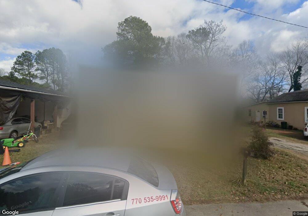
1395 Benson Dr Gainesville, GA 30501
Southeast Gainesville NeighborhoodEstimated Value: $93,000 - $170,962
2
Beds
1
Bath
800
Sq Ft
$181/Sq Ft
Est. Value
About This Home
This home is located at 1395 Benson Dr, Gainesville, GA 30501 and is currently estimated at $144,991, approximately $181 per square foot. 1395 Benson Dr is a home located in Hall County with nearby schools including Fair Street International Baccalaureate World School, Gainesville Middle School, and Gainesville High School.
Ownership History
Date
Name
Owned For
Owner Type
Purchase Details
Closed on
Nov 26, 2018
Sold by
Castleberry Benjamin F
Bought by
Ep Coleman Llc
Current Estimated Value
Purchase Details
Closed on
Nov 13, 2018
Sold by
Castleberry Property Lp 2012
Bought by
Castleberry Benjamin F
Purchase Details
Closed on
Dec 19, 2012
Sold by
Castleberry Benjamin F
Bought by
Castleberry Property Lp 2012
Create a Home Valuation Report for This Property
The Home Valuation Report is an in-depth analysis detailing your home's value as well as a comparison with similar homes in the area
Home Values in the Area
Average Home Value in this Area
Purchase History
| Date | Buyer | Sale Price | Title Company |
|---|---|---|---|
| Ep Coleman Llc | -- | -- | |
| Castleberry Benjamin F | -- | -- | |
| Castleberry Property Lp 2012 | -- | -- |
Source: Public Records
Tax History Compared to Growth
Tax History
| Year | Tax Paid | Tax Assessment Tax Assessment Total Assessment is a certain percentage of the fair market value that is determined by local assessors to be the total taxable value of land and additions on the property. | Land | Improvement |
|---|---|---|---|---|
| 2025 | $1,072 | $41,880 | $8,280 | $33,600 |
| 2024 | $1,125 | $42,560 | $8,280 | $34,280 |
| 2023 | $882 | $49,160 | $19,520 | $29,640 |
| 2022 | $917 | $32,720 | $14,640 | $18,080 |
| 2021 | $638 | $21,480 | $4,760 | $16,720 |
| 2020 | $370 | $12,960 | $4,760 | $8,200 |
| 2019 | $372 | $10,920 | $4,120 | $6,800 |
| 2018 | $357 | $10,000 | $4,120 | $5,880 |
| 2017 | $349 | $9,840 | $4,120 | $5,720 |
| 2016 | $342 | $9,840 | $4,120 | $5,720 |
| 2015 | $354 | $10,183 | $3,280 | $6,903 |
| 2014 | $354 | $10,183 | $3,280 | $6,903 |
Source: Public Records
Map
Nearby Homes
- 110 Summit St SE
- 1074 Desota St SE
- 1049 Desota St SE
- 1068 Mill St SE
- 1238 Mill St SE
- 1255 Purina Dr
- 1671 Azelea Ln
- 1832 Tulip Dr
- 0 Autumn Dr Unit 10327035
- 00 Jesse Jewell Pkwy
- 13 Branch St
- 510 Nightfire Ct SW
- 518 Nightfire Ct SW
- 4135 Millstone Park Ln Unit 9A
- 4115 Millstone Park Ln Unit 4A
- 4135 Millstone Park Ln
- 4127 Millstone Park Ln
- 4127 Millstone Park Ln Unit 7A
- 4115 Millstone Park Ln
- 2180 Sunrise Dr
- 1385 Benson Dr
- 1399 Benson Dr
- 1375 Benson Dr
- 1401 Benson Dr
- 1365 Benson Dr
- 1411 Benson Dr
- 1355 Benson Dr
- 1340 Benson Dr
- 1343 Benson Dr
- 1421 Benson Dr
- 1337 Benson Dr
- 1327 Benson Dr
- 977 W Ridge Rd
- 985 W Ridge Rd
- 930 Interstate Ridge Dr
- 930 Interstate Ridge Dr
- W W Ridge Rd
- 1285 Tyner Dr
- 988 W Ridge Rd
- 957 W Ridge Rd