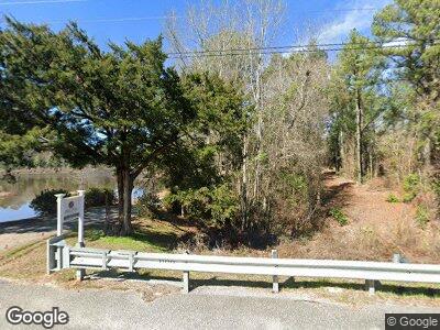
Estimated Value: $168,000
--
Bed
--
Bath
1,384
Sq Ft
$121/Sq Ft
Est. Value
About This Home
This home is located at 1395 Highway 105, Ozark, AL 36360 and is currently estimated at $168,000, approximately $121 per square foot. 1395 Highway 105 is a home located in Dale County.
Ownership History
Date
Name
Owned For
Owner Type
Purchase Details
Closed on
Jan 31, 2023
Sold by
Ledford Richard Todd and Ledford Faith
Bought by
T & F Properties Llc
Current Estimated Value
Home Financials for this Owner
Home Financials are based on the most recent Mortgage that was taken out on this home.
Original Mortgage
$355,000
Outstanding Balance
$342,051
Interest Rate
6.33%
Mortgage Type
New Conventional
Estimated Equity
-$223,051
Purchase Details
Closed on
Dec 29, 2022
Sold by
Ledford Richard Todd and Ledford Faith
Bought by
T & F Properties Llc
Home Financials for this Owner
Home Financials are based on the most recent Mortgage that was taken out on this home.
Original Mortgage
$355,000
Outstanding Balance
$342,051
Interest Rate
6.33%
Mortgage Type
New Conventional
Estimated Equity
-$223,051
Create a Home Valuation Report for This Property
The Home Valuation Report is an in-depth analysis detailing your home's value as well as a comparison with similar homes in the area
Home Values in the Area
Average Home Value in this Area
Purchase History
| Date | Buyer | Sale Price | Title Company |
|---|---|---|---|
| T & F Properties Llc | -- | None Listed On Document | |
| T & F Properties Llc | -- | None Listed On Document |
Source: Public Records
Mortgage History
| Date | Status | Borrower | Loan Amount |
|---|---|---|---|
| Open | T & F Properties Llc | $355,000 |
Source: Public Records
Tax History Compared to Growth
Tax History
| Year | Tax Paid | Tax Assessment Tax Assessment Total Assessment is a certain percentage of the fair market value that is determined by local assessors to be the total taxable value of land and additions on the property. | Land | Improvement |
|---|---|---|---|---|
| 2024 | $243 | $8,760 | $2,100 | $6,660 |
| 2023 | $243 | $7,780 | $1,780 | $6,000 |
| 2022 | $168 | $6,280 | $1,800 | $4,480 |
| 2021 | $155 | $5,860 | $1,380 | $4,480 |
| 2020 | $155 | $5,840 | $1,360 | $4,480 |
| 2019 | $154 | $5,840 | $1,360 | $4,480 |
| 2018 | $167 | $6,260 | $1,800 | $4,460 |
| 2017 | $163 | $6,120 | $1,700 | $4,420 |
| 2016 | $163 | $6,120 | $1,700 | $4,420 |
| 2015 | $158 | $5,960 | $1,700 | $4,260 |
| 2014 | $155 | $5,880 | $1,700 | $4,180 |
| 2013 | $153 | $5,880 | $1,700 | $4,180 |
Source: Public Records
Map
Nearby Homes
- 100 County Road 322
- 50 County Road 322
- 3974 Highway 105
- 792 County Road 60
- 809 Mary McClendon Rd
- 2714 County Road 54
- 2.651 +/- Acres (Lot County Road 13
- 2.294 +/- Acres (Lot County Road 13
- 2.036 +/- Acres (Lot County Road 13
- 1.862 +/- Acres (Lot County Road 13
- 5 Acres (Lot 3) County Road 13
- 5530 County Road 33
- 1160 Frank Marshall Rd
- Lot 3 Block B Asbury Hill Dr
- Lot 3 Block C Asbury Hill Dr
- Lot 4 Block C Asbury Hill Dr
- Lot 5 Block C Asbury Hill Dr
- Lot 1 Block A Asbury Hill Dr
- 239 White Oak Bend
- 000 Osteen Dr
