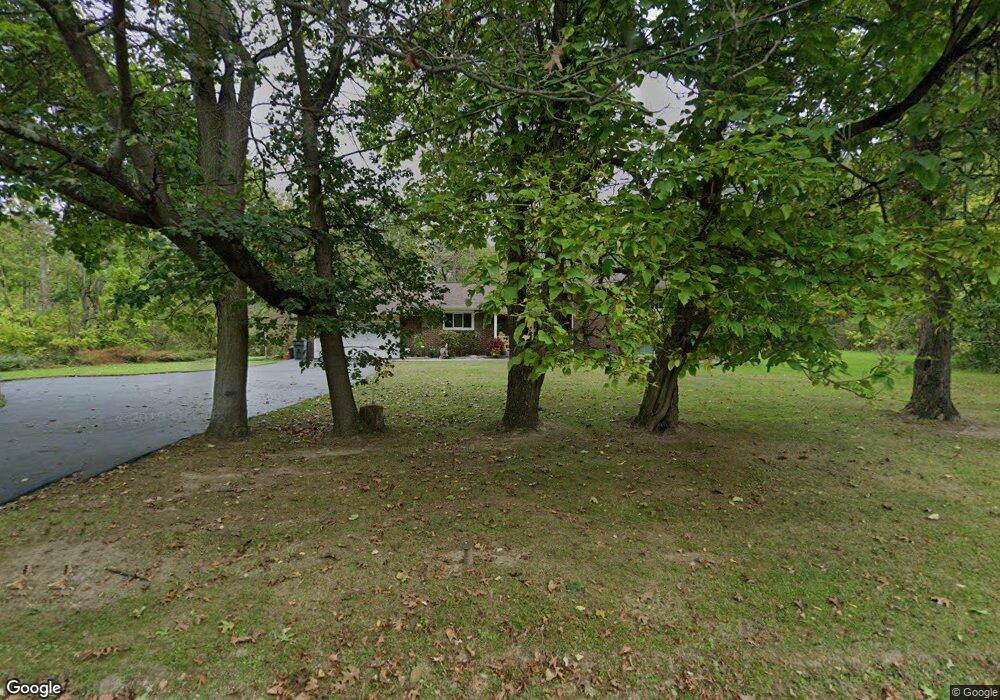
1395 Liberty Rd Youngstown, OH 44505
Landsdowne NeighborhoodEstimated Value: $93,000 - $124,250
3
Beds
2
Baths
2,392
Sq Ft
$45/Sq Ft
Est. Value
About This Home
This home is located at 1395 Liberty Rd, Youngstown, OH 44505 and is currently estimated at $107,563, approximately $44 per square foot. 1395 Liberty Rd is a home located in Mahoning County with nearby schools including M.L. King Elementary School, East High School, and Youngstown Academy of Excellence.
Ownership History
Date
Name
Owned For
Owner Type
Purchase Details
Closed on
Aug 29, 2018
Sold by
Lacey Alice
Bought by
Lacey Alice and Ward Tenacha Lequall
Current Estimated Value
Purchase Details
Closed on
May 31, 2006
Sold by
Lacey Alice
Bought by
Lacey Alice and Lacey Merrill Arlene
Purchase Details
Closed on
Jul 26, 1972
Bought by
Lacey Robt W and Lacey Alice
Create a Home Valuation Report for This Property
The Home Valuation Report is an in-depth analysis detailing your home's value as well as a comparison with similar homes in the area
Home Values in the Area
Average Home Value in this Area
Purchase History
| Date | Buyer | Sale Price | Title Company |
|---|---|---|---|
| Lacey Alice | -- | None Available | |
| Lacey Alice | -- | None Available | |
| Lacey Alice | -- | None Available | |
| Lacey Robt W | -- | -- |
Source: Public Records
Tax History Compared to Growth
Tax History
| Year | Tax Paid | Tax Assessment Tax Assessment Total Assessment is a certain percentage of the fair market value that is determined by local assessors to be the total taxable value of land and additions on the property. | Land | Improvement |
|---|---|---|---|---|
| 2024 | $521 | $20,710 | $1,470 | $19,240 |
| 2023 | $547 | $20,710 | $1,470 | $19,240 |
| 2022 | $366 | $14,670 | $1,450 | $13,220 |
| 2021 | $366 | $14,670 | $1,450 | $13,220 |
| 2020 | $368 | $14,670 | $1,450 | $13,220 |
| 2019 | $337 | $13,580 | $1,340 | $12,240 |
| 2018 | $340 | $13,580 | $1,340 | $12,240 |
| 2017 | $469 | $13,580 | $1,340 | $12,240 |
| 2016 | $600 | $18,040 | $1,340 | $16,700 |
| 2015 | $588 | $18,040 | $1,340 | $16,700 |
| 2014 | $584 | $18,040 | $1,340 | $16,700 |
| 2013 | $575 | $18,040 | $1,340 | $16,700 |
Source: Public Records
Map
Nearby Homes
- 1325 Miami Ave
- 1214 Brighton St
- 902 Miami St
- 1720 Jacobs Rd
- 3209 Castalia Ave
- 1538 Republic Ave
- 566 Sunshine Ave
- 405 Drake Ave
- 3244 Nelson Ave
- V/L Jacobs Rd
- 2160 Lansdowne Blvd
- 598 Cassius Ave
- 2951 Megan Cir
- 2831 Benford Ln
- 2954 Megan Cir
- 2824 Benford Ln
- 0 Homestead Rd
- 3725 Ron Ln
- 0 Mccartney Rd Unit 5030673
- OL 38 Mccartney Rd
- 1324 Liberty Rd
- 1405 Liberty Rd
- 1336 Liberty Rd
- 1350 Liberty Rd
- 1411 Liberty Rd
- 1417 Liberty Rd
- 1429 Liberty Rd
- 1576 Filmore Ave
- 2375 Bott St
- 1435 Liberty Rd
- 2477 Mcquiston St
- 2428 Bott St
- 2507 Mcquiston St
- 1057 Manley St
- 1070 Manley St
- 2465 Mcquiston St
- 2418 Bott St
- 1430 Liberty Rd
- 1060 Manley St
- 2414 Bott St